My Store
Antique San Antonio Peak, California 1902 US Geological Survey Topographic Map – Mohave Desert, Mojave, Los Angeles San Bernardino County CA
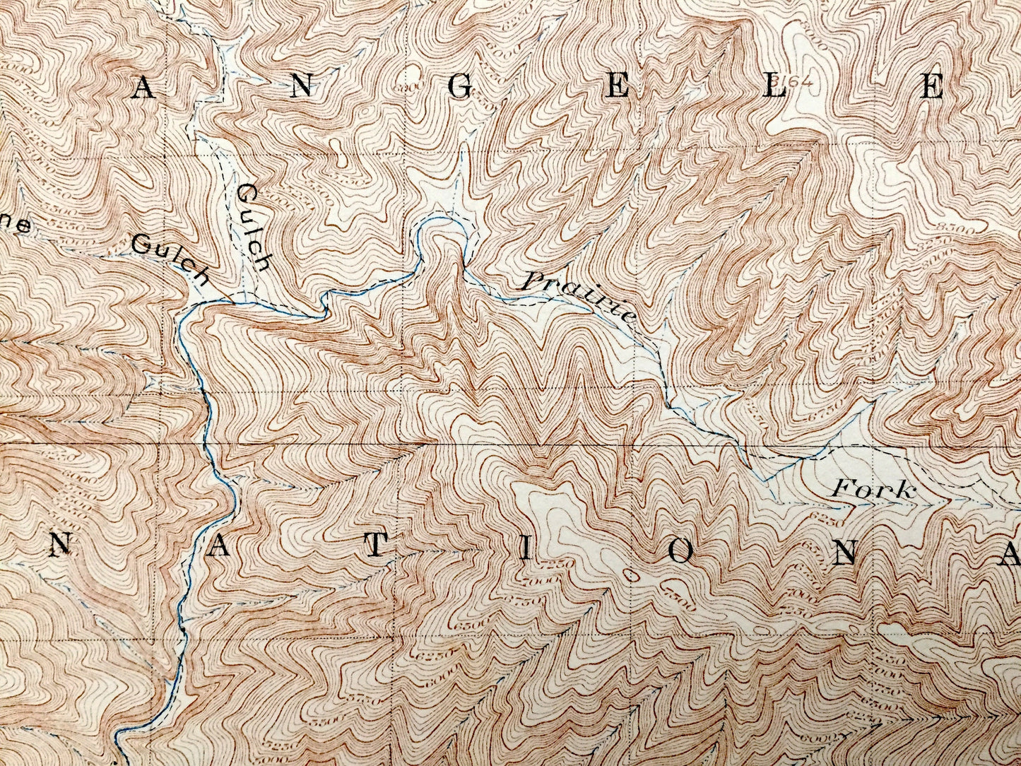
Antique San Antonio Peak, California 1902 US Geological Survey Topographic Map – Mohave Desert, Mojave, Los Angeles San Bernardino County CA
Beautiful, antique map of San Antonio, California and surrounding Los Angeles & San Bernardino County, including Mojave Desert area. This is an authentic 1902 edition, 1903 print from the U.S. Geological Survey and NOT a computer reproduction.
See what California looked like 120 years ago. Lots of intricate details and geological contours. Map even has little squares for every house that existed at the time. The USGS cartographers were very thorough back then! At some point the map was canvas-backed and split into quadrants, perhaps for field work.
Perfect for the historian, map-lover, the curious or just as a conversation starter. Wonderful and rare. Maps such as these make great gifts.
Edition of 1902, printed 1903
Dimensions: 16" width x 19 3/4" height
----
Features
Points of Interest: Los Angeles County, San Bernardino County, Mohave Desert, Swarthout Valley, Angeles National Forest, San Bernardino National Forest, Lone Pine Canyon, Cajon Canyon, San Antonio Peak, Telegraph Peak, Pine Mountain, The Narrows, Sheep Creek, Boneyard Canyon, Iron Mountain, Laurel Gulch, San Gabriel River, and lots more mountains, canyons, rivers, creeks, valleys, ranches and roads.
Condition: Good Vintage condition, commensurate with age. This map is in great shape for being about 100 years old. Some light wear and margin pencil marks, but these will add to vintage character when framed.
----
We will happily adjust shipping price for multiple purchases. Maps are rolled up and shipped in sturdy mailing tubes, never folded.
Couldn't load pickup availability
Share