My Store
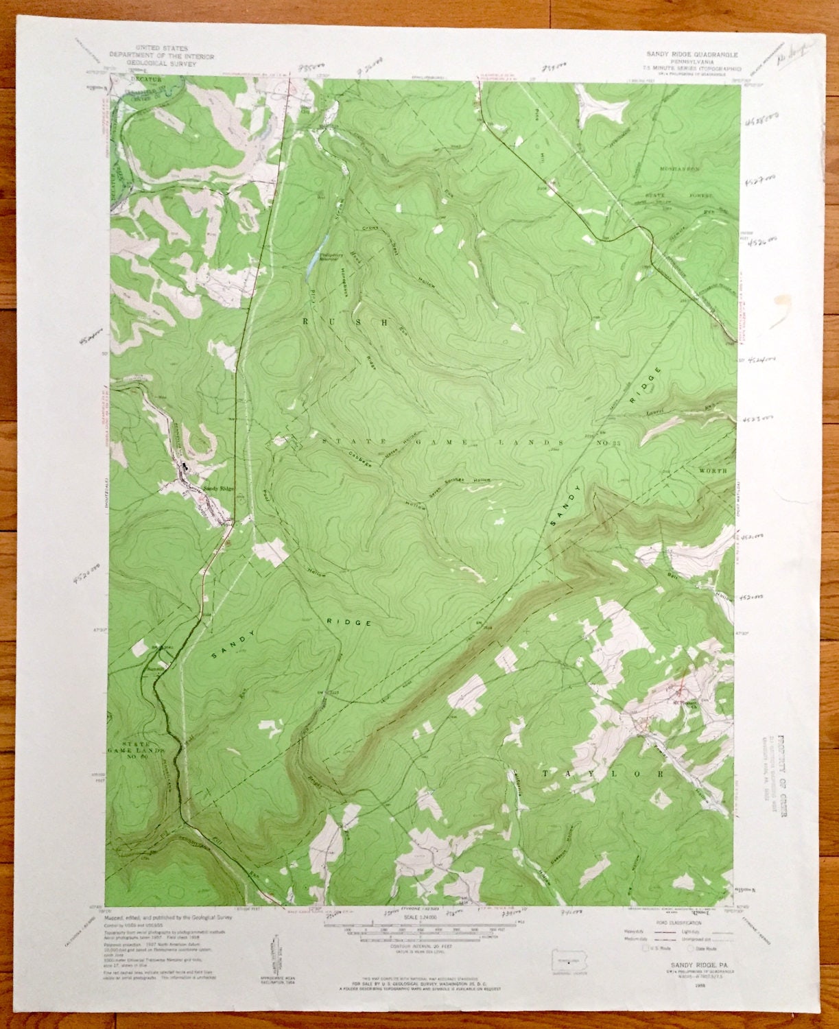
Antique Sandy Ridge, Pennsylvania 1958 US Geological Survey Topographic Map – Rush, Moshannon, Taylor, PA State Game Lands, Worth
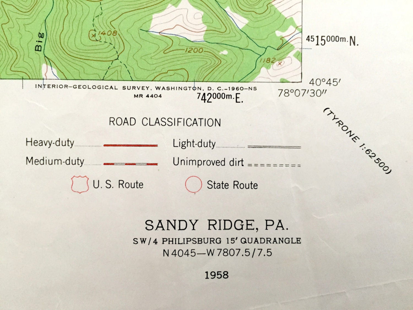
Antique Sandy Ridge, Pennsylvania 1958 US Geological Survey Topographic Map – Rush, Moshannon, Taylor, PA State Game Lands, Worth
Beautiful, antique map of Decatur, Sandy Ridge, Summit, Taylor, Rush, Moshannon, and Worth, Pennsylvania. This is an authentic 1958 print from the U.S. Geological Survey and NOT a computer reproduction.
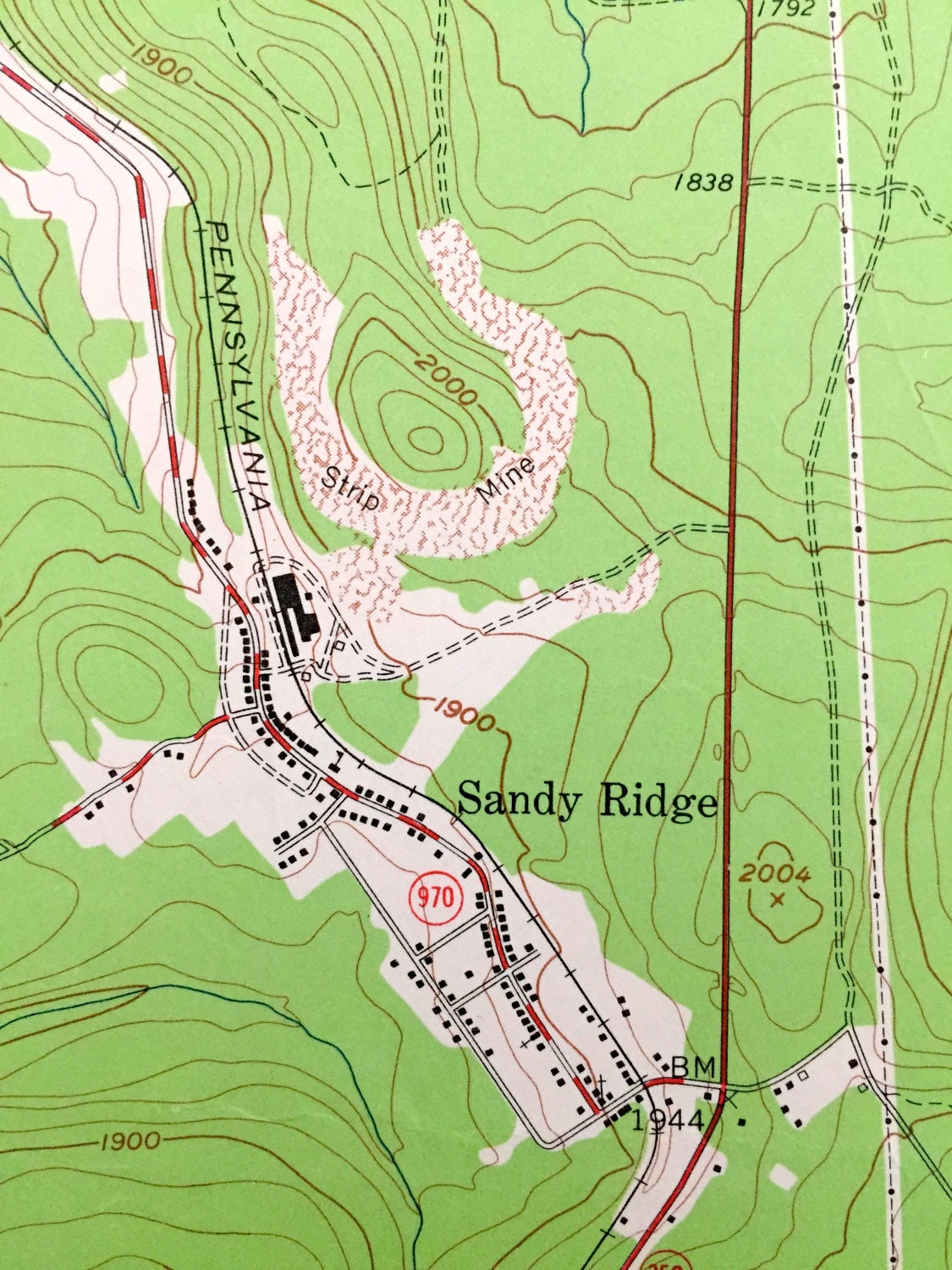
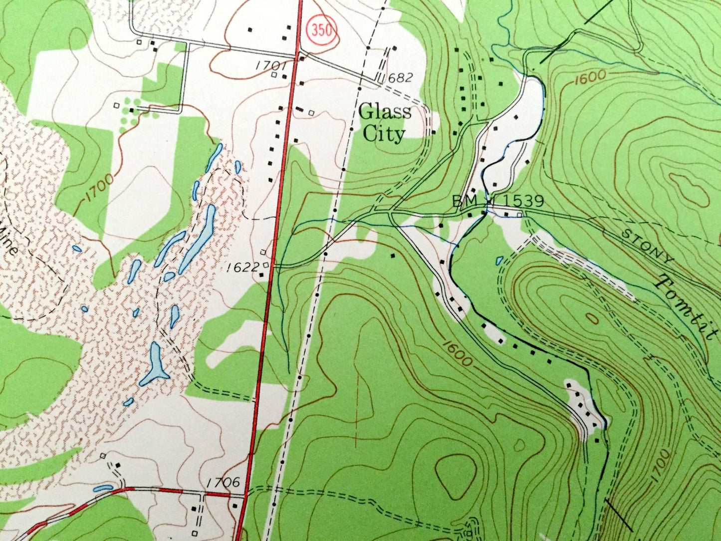
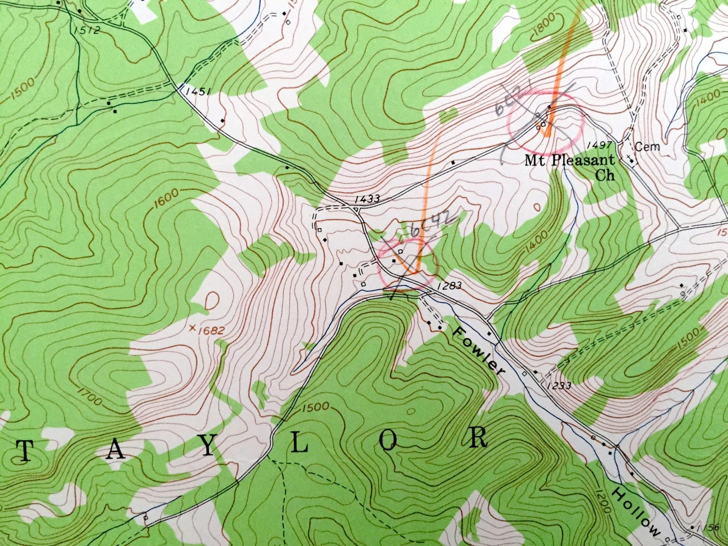
See what Centre County of Pennsylvania looked like almost 60 years ago. Lots of intricate details and geological contours. Map even has little squares for every house that existed at the time. The USGS cartographers were very thorough back then!
Perfect for the historian, map-lover, the curious or just as a conversation starter. Wonderful and rare. Vintage maps such as these make great gifts.
Edition of 1958, printed 1958
Dimensions: 22" width x 27" height
----
Features
Cities & Towns: Decatur, Sandy Ridge, Summit, Taylor, Rush, Moshannon, Worth.
Points of Interest: Moshannon Creek, Pennsylvania Railroad, Cabbage Hollow, State Game Lands No 60, Philipsburg Reservoir, Moshannon State Forest, Sandy Ridge, Fowler Hollow, and lots more hills, streams, houses, and roads.
Condition: Very Good condition, commensurate with age. This map is in incredible shape for being almost 60 years old. This map was used in the field and has some pencil marks and edge-wear, all of which adds to the real-world charm, and will add character when framed.
----
We will happily adjust shipping price for multiple purchases. Maps are rolled up and shipped in sturdy mailing tubes, never folded.
Couldn't load pickup availability
Share