My Store
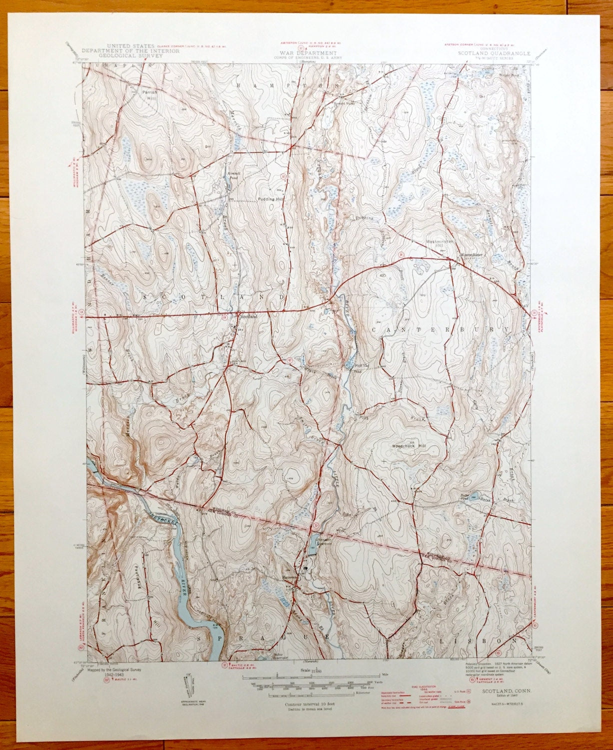
Antique Scotland, Connecticut 1946 US Geological Survey Topographic Map – Shetucket River, Windham County, Canterbury, Sprague, Lisbon, CT
Antique Scotland, Connecticut 1946 US Geological Survey Topographic Map – Shetucket River, Windham County, Canterbury, Sprague, Lisbon, CT
Beautiful, antique map of Scotland, Connecticut and surrounding area. This is an authentic 1946 print from the U.S. Geological Survey and NOT a computer reproduction.
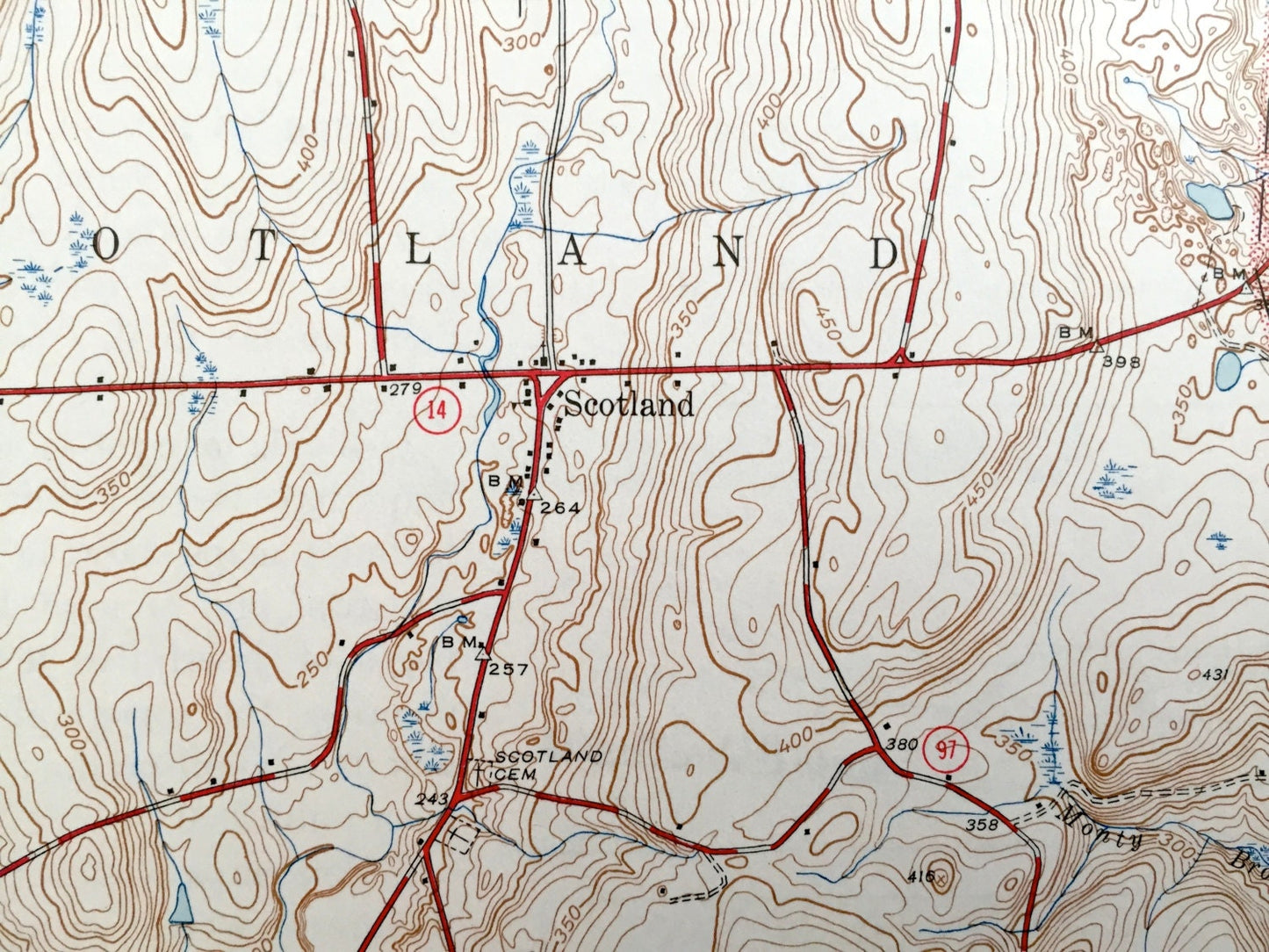
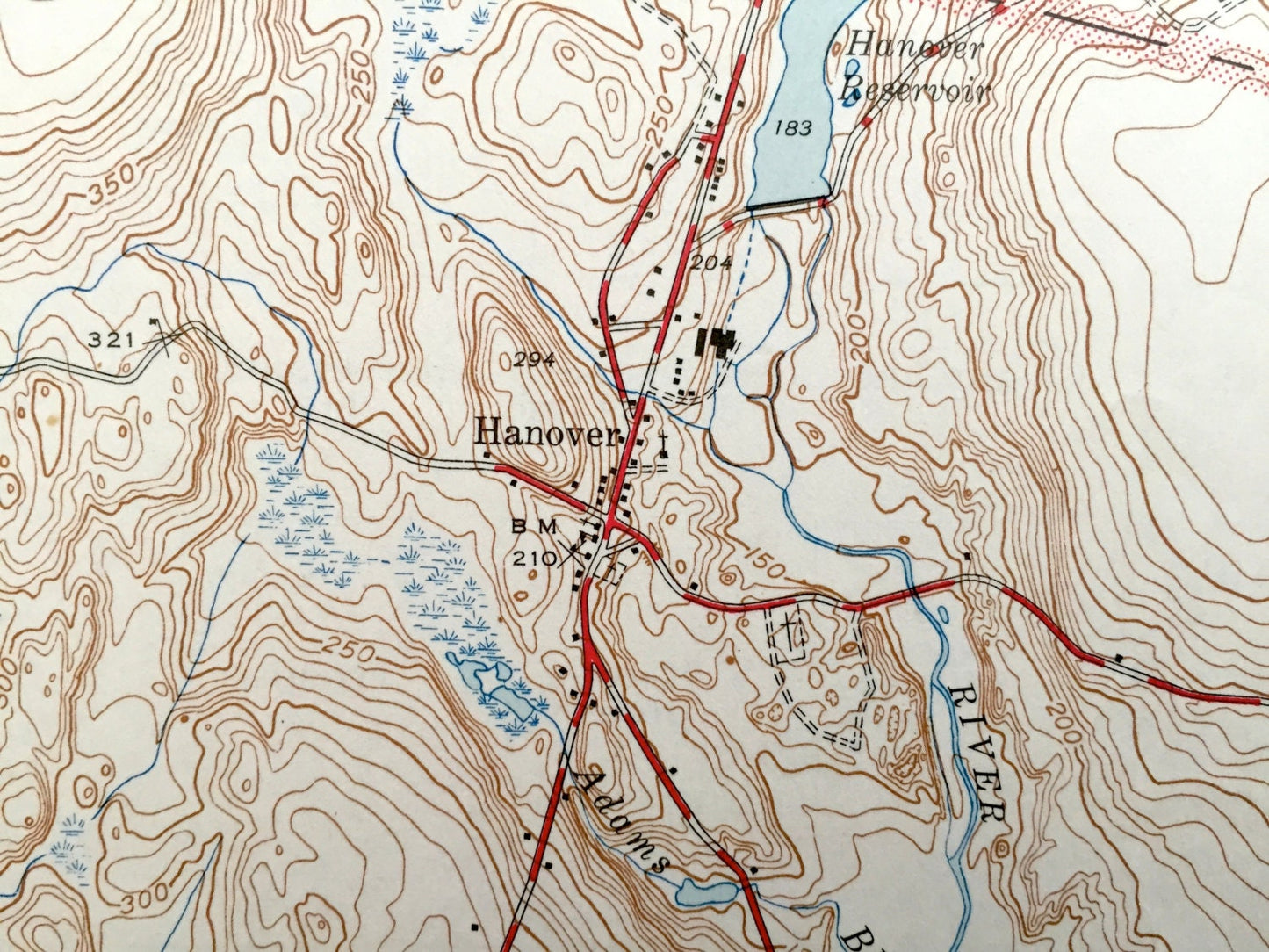
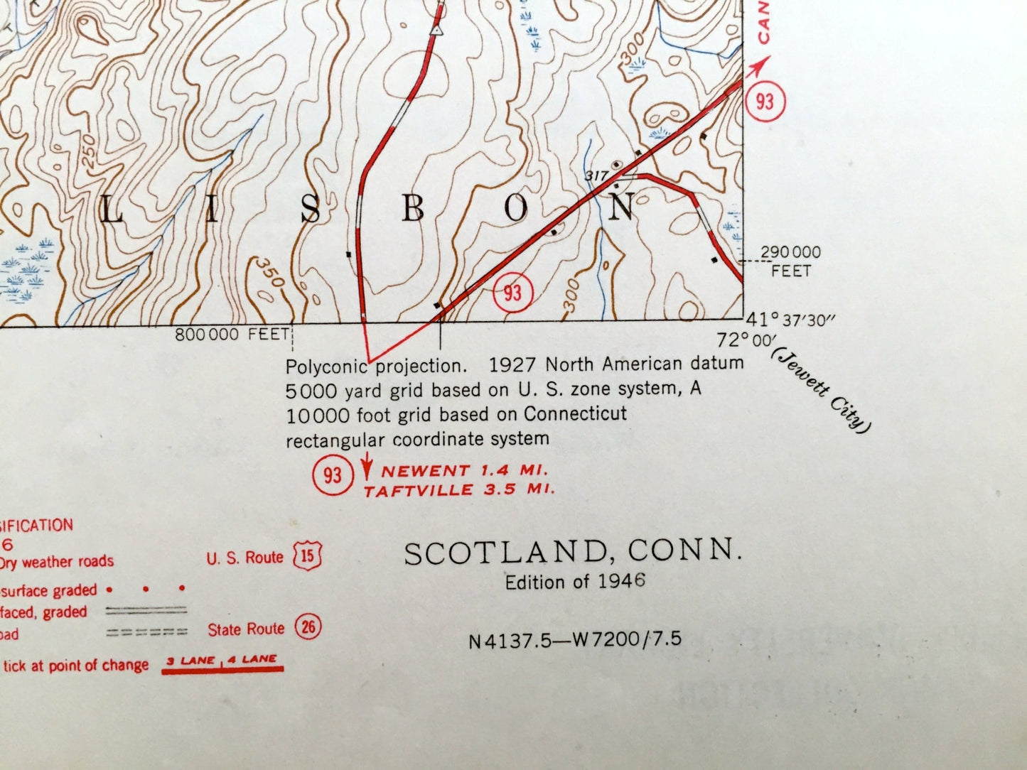
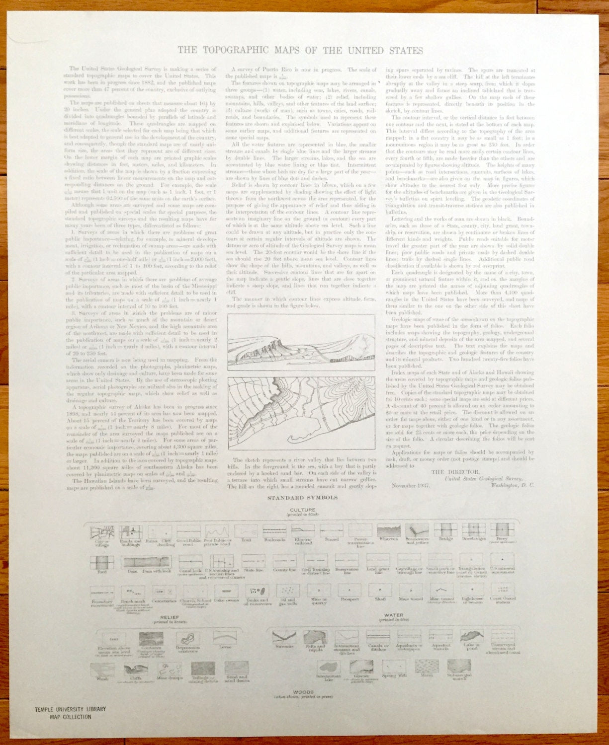
See what Scotland, Canterbury, Sprague and Windham County looked like over 75 years ago. Lots of intricate details and geological contours. Map even has little squares for every house that existed at the time. The USGS cartographers were very thorough back then! On the back is a description of topographic symbols and map guide.
Perfect for the historian, map-lover, the curious or just as a conversation starter. Wonderful and rare. Vintage maps such as these make great gifts.
Edition of 1946, printed 1946
Dimensions: 17" width x 21" height
----
Features
Cities & Towns: Chaplin, Hampton, Scotland, Franklin, Hanover, Lisbon, Canterbury, Westminster, Howard Valley, Windham.
Points of Interest: Windham County, New London County, Little River, Woodchuck Hill, Westminster Hill, Pudding Hill, Pautipaug Hill, Kimball Pond, Howard Valley Church, Bates Pond, Shetucket River, Hanover Reservoir, and lots more hills, mountains, creeks, towns, and roads.
Condition: Very Good Vintage condition, commensurate with age. This map is in great shape for being over 75 years old. Light wear and toning, but this will add to character when framed.
----
We will happily adjust shipping price for multiple purchases. Maps are rolled up and shipped in sturdy mailing tubes, never folded.
Couldn't load pickup availability
Share