My Store
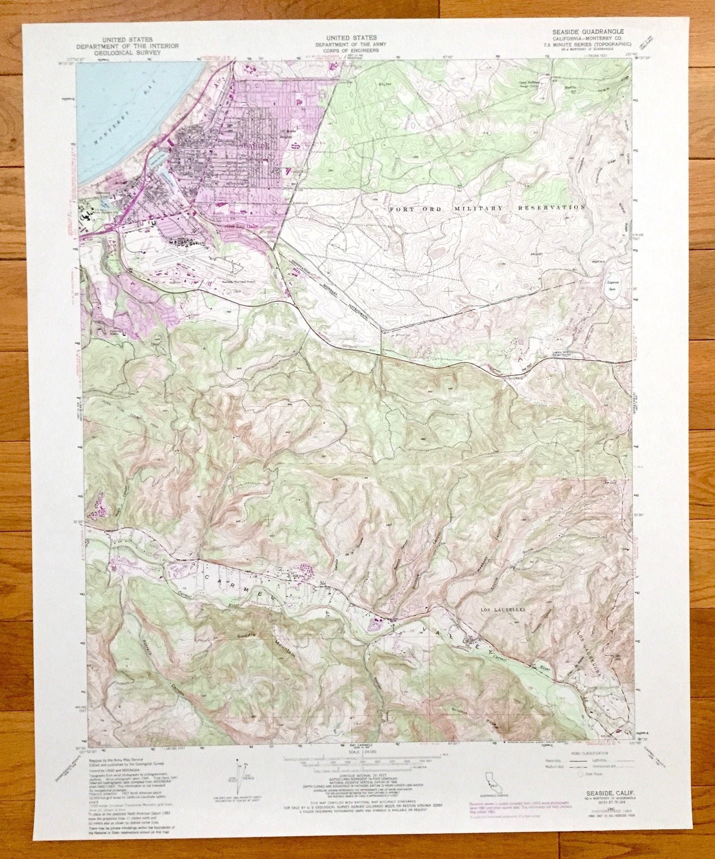
Antique Seaside, California 1947 US Geological Survey Topographic Map – Monterey Bay, Del Rey Oaks, Delmonte, Retreat Noche Buena Heights CA
Antique Seaside, California 1947 US Geological Survey Topographic Map – Monterey Bay, Del Rey Oaks, Delmonte, Retreat Noche Buena Heights CA
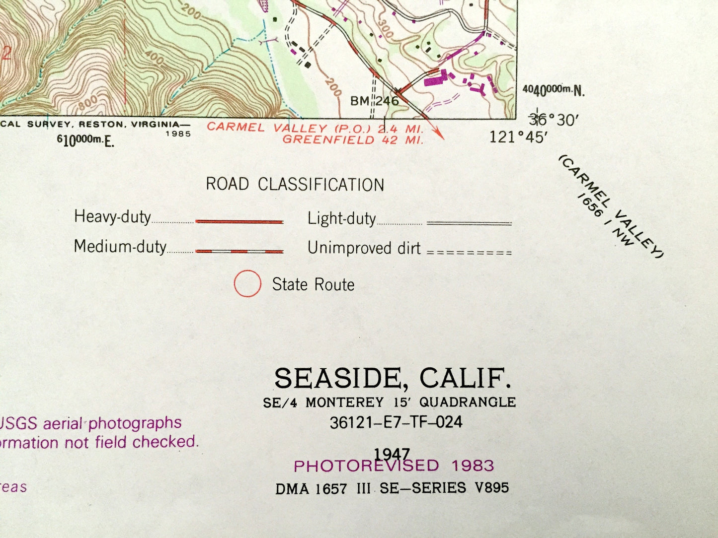
Beautiful, antique map of Seaside, California and surrounding Monterey County area. This is an authentic 1947 edition, 1983 print from the U.S. Geological Survey and NOT a computer reproduction.
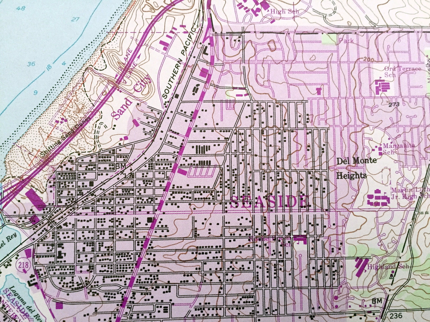
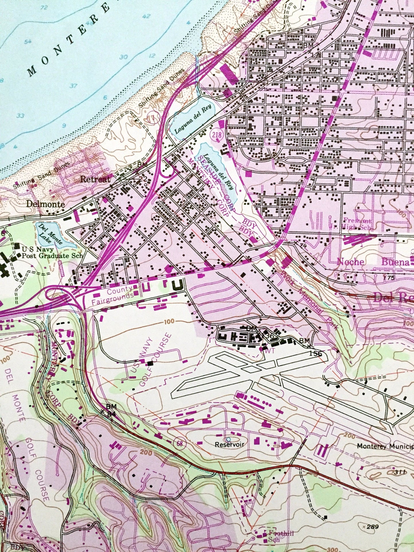
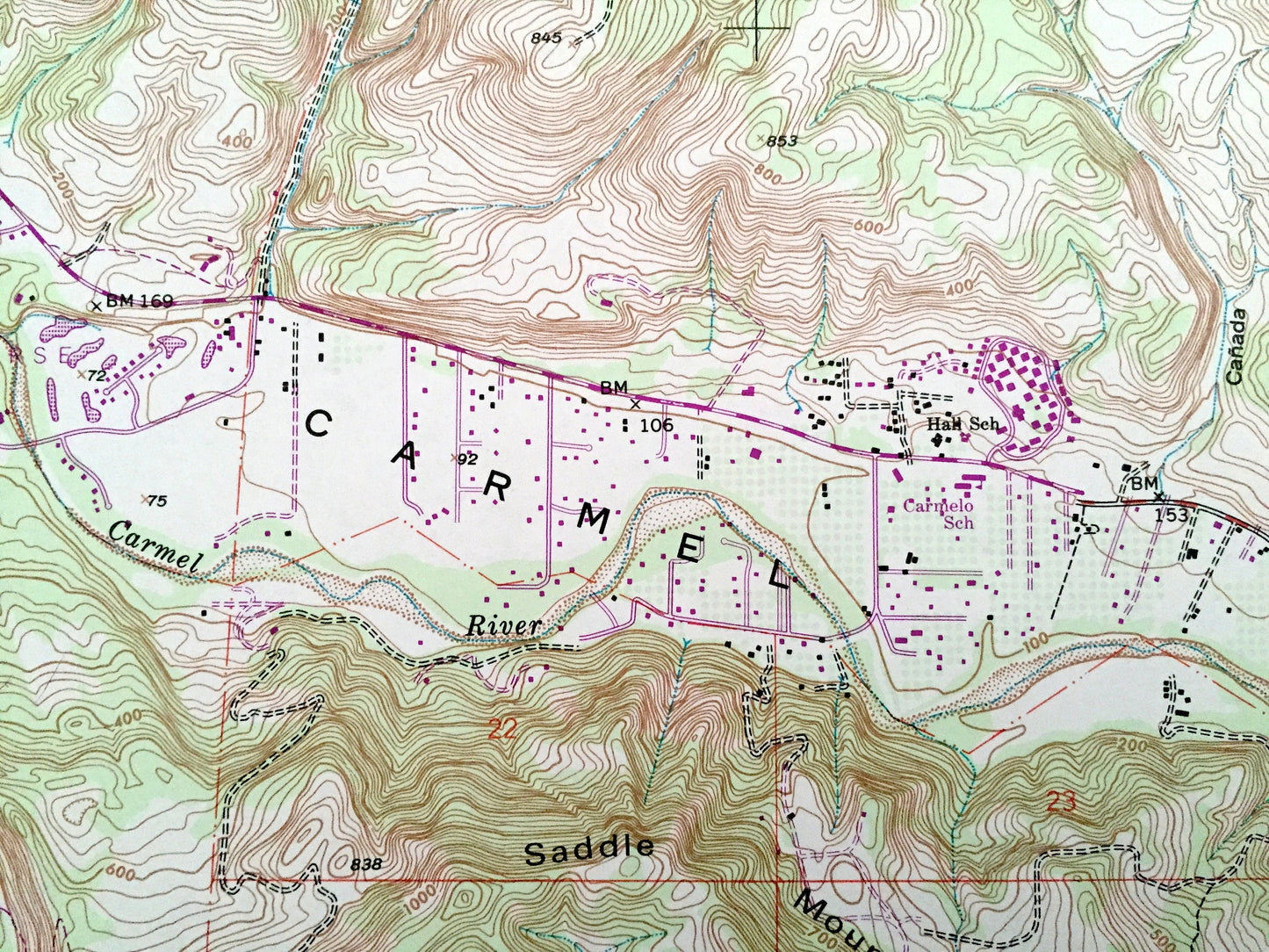
See what the Pacific Coast looked like more than 75 years ago. Lots of intricate details and geological contours. Map even has little squares for every house that existed at the time. The USGS cartographers were very thorough back then!
Perfect for the historian, map-lover, the curious or just as a conversation starter. Wonderful and rare. Vintage maps such as these make great gifts.
Edition of 1947, printed 1983
Dimensions: 22" width x 27" height
----
Features
Cities & Towns: Seaside, Del Rey Oaks, Delmonte, Retreat, Noche Buena, Del Monte Heights.
Points of Interest: California Coast, Carmel Valley, Los Laurelles, Saddle Mountain, Portrero Canyon, Carmel River, Jacks Peak County Park, Monterey Bay, Fort Ord Military Reservation, and lots more mountains, canyons, rivers, small towns and train tracks.
Condition: Very Good Vintage condition, commensurate with age. This map is in great shape for being more almost 40 years old.
----
We will happily adjust shipping price for multiple purchases. Maps are rolled up and shipped in sturdy mailing tubes, never folded.
Couldn't load pickup availability
Share