My Store
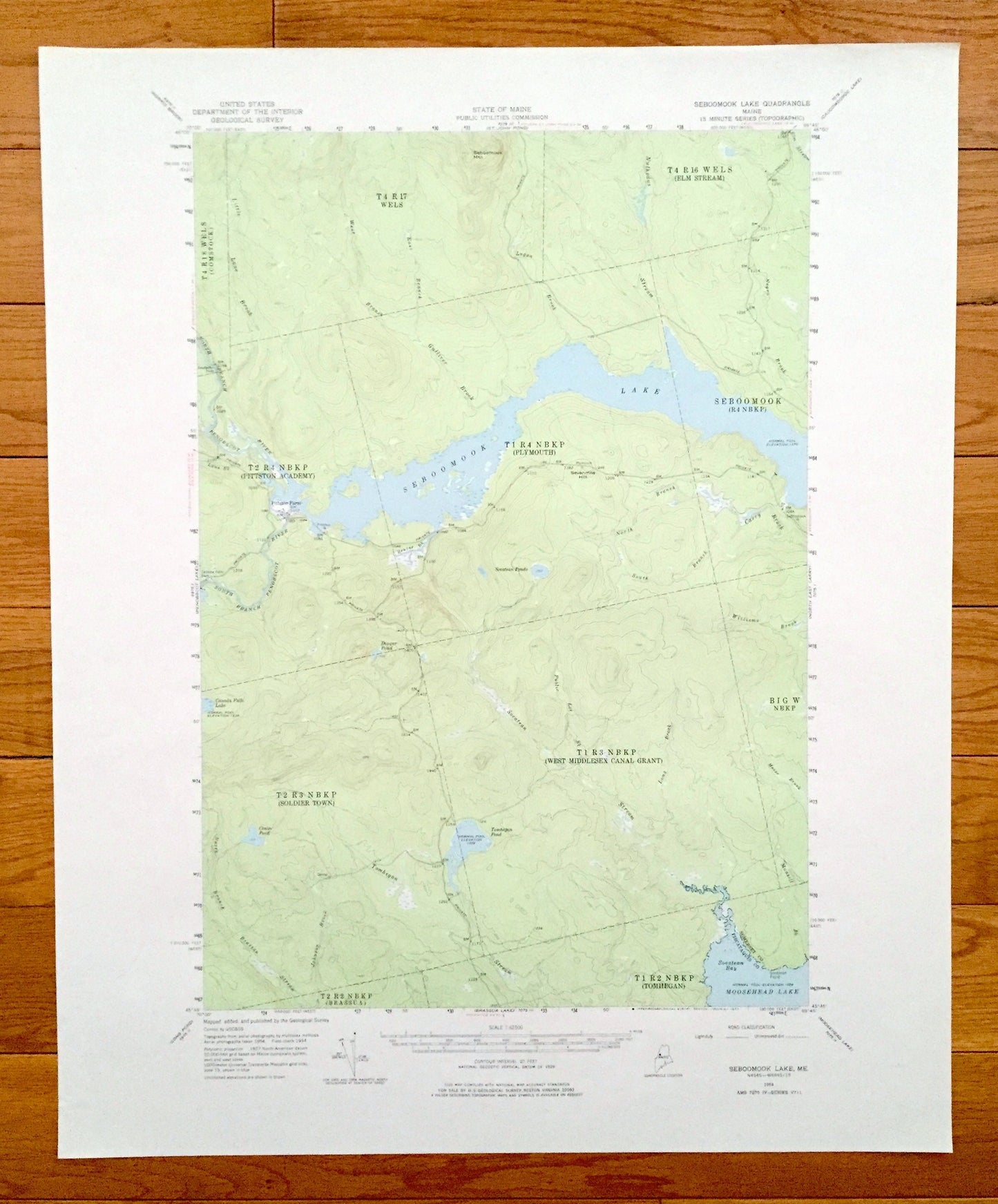
Antique Seboomook Lake, Maine 1954 US Geological Survey Topographic Map – Moosehead Lake, Piscataquis, Somerset County, Tomhegan, Pittston
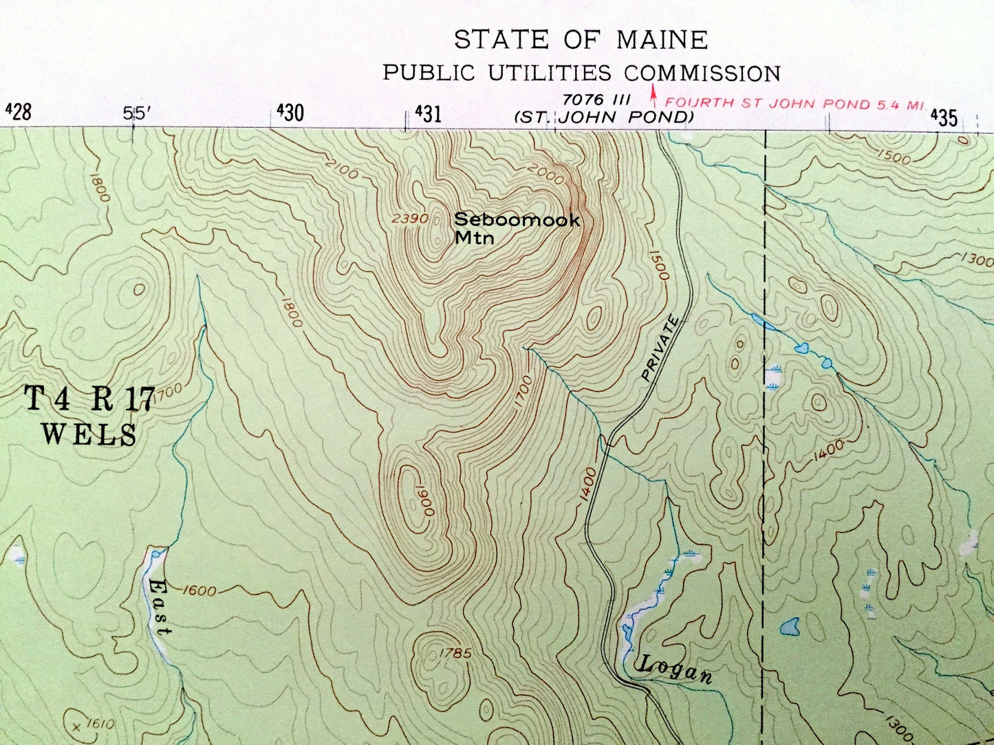
Antique Seboomook Lake, Maine 1954 US Geological Survey Topographic Map – Moosehead Lake, Piscataquis, Somerset County, Tomhegan, Pittston
Beautiful, antique map of Seboomook Lake, Maine and surrounding Piscataquis & Somerset Counties. This is an authentic 1954 edition, 1977 print from the U.S. Geological Survey and NOT a computer reproduction.
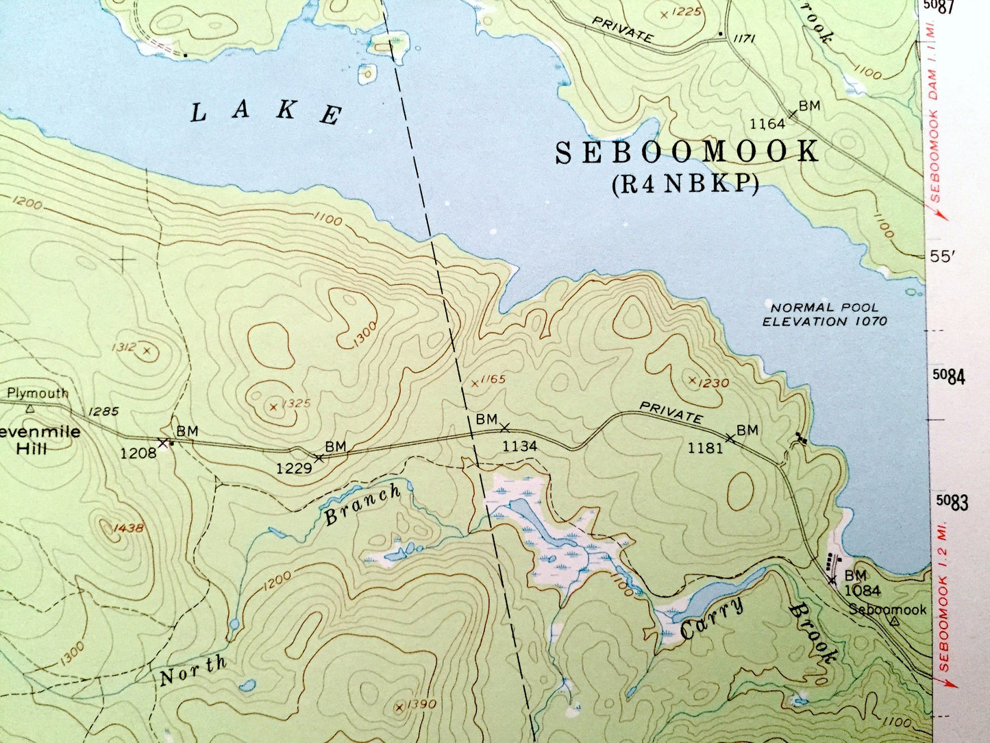
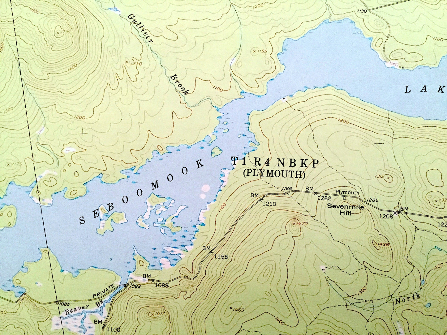
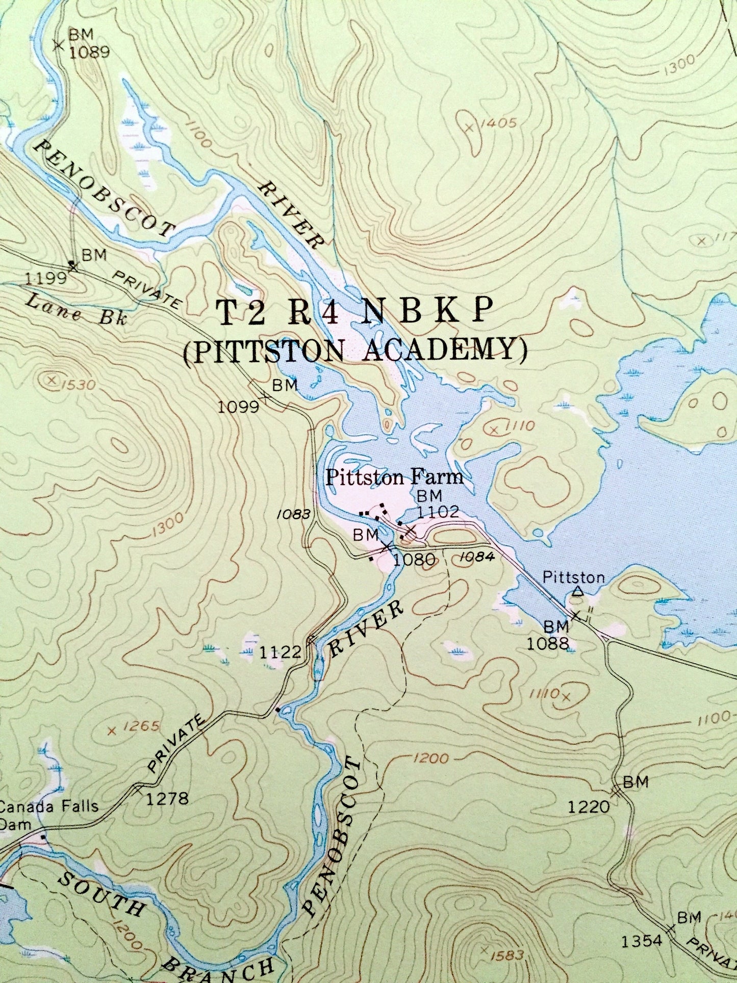
See what Maine looked like over 70 years ago. Lots of intricate details and geological contours. Map even has little squares for every house that existed at the time. The USGS cartographers were very thorough back then!
Perfect for the historian, map-lover, the curious or just as a conversation starter. Wonderful and rare. Vintage maps such as these make great gifts.
Edition of 1954, printed 1977
Dimensions: 18" width x 22" height
----
Features
Cities & Towns: Comstock, Elm Stream, Pittson Academy, Plymouth, Seboomook, Soldier Town, West Middlesex Canal Grant, Big W, Brassua, Tomhegan.
Points of Interest: Seboomook Lake, Moosehead Lake, Penobscot River, Seboomook Mountain, Tomhegan Pond, Tomhegan Stream, Soatean Bay, Pittston Farm, Canada Falls Dam, and lots more hills, streams, ponds, marshes, houses, islands, coves and roads.
Condition: Very Good condition, commensurate with age. This map is in incredible shape for being over 30 years old.
----
We will happily adjust shipping price for multiple purchases. Maps are rolled up and shipped in sturdy mailing tubes, never folded.
Couldn't load pickup availability
Share