My Store
Antique Seward (C-3), Alaska 1951 US Geological Survey Topographic Map – Perry Island, Prince William Sound, Culross, Passage, Lone, AK
Antique Seward (C-3), Alaska 1951 US Geological Survey Topographic Map – Perry Island, Prince William Sound, Culross, Passage, Lone, AK
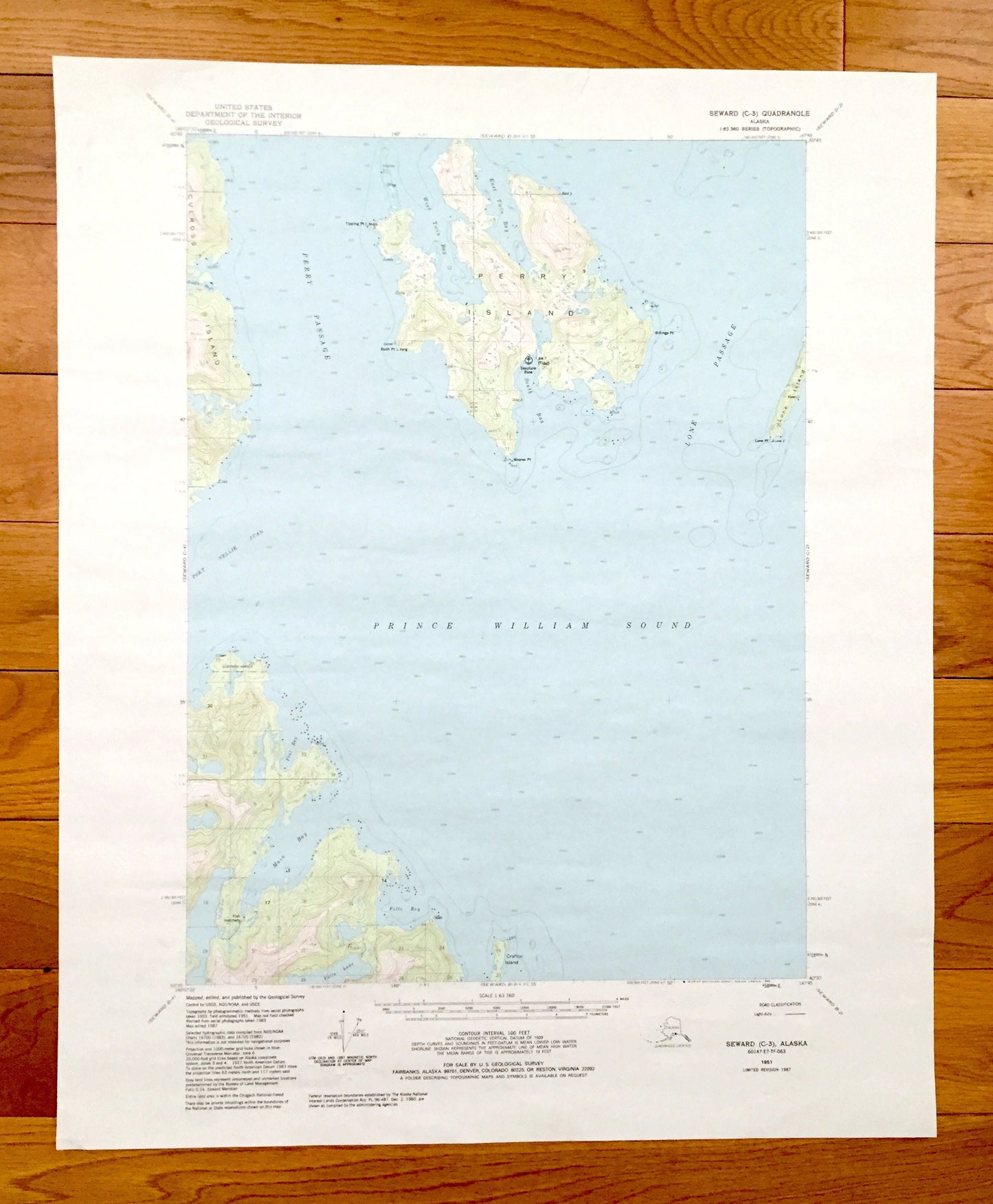
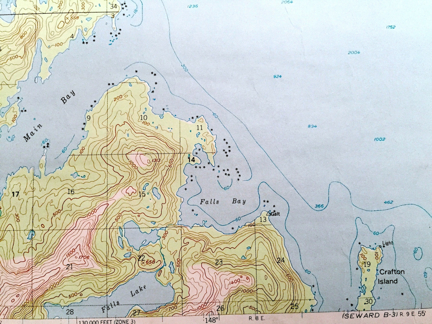
Beautiful, antique map of Perry Island, Alaska and surrounding area south of Anchorage, including Prince William Sound. This is an authentic 1951 edition, 1987 print from the U.S. Geological Survey and NOT a computer reproduction.
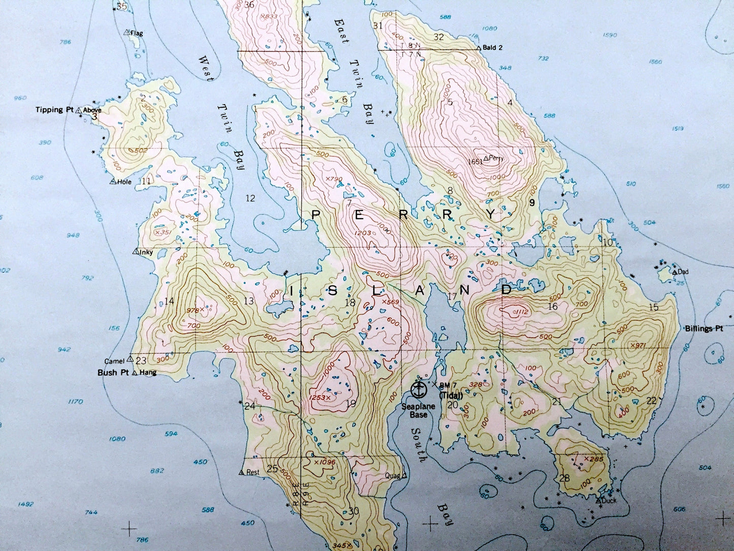
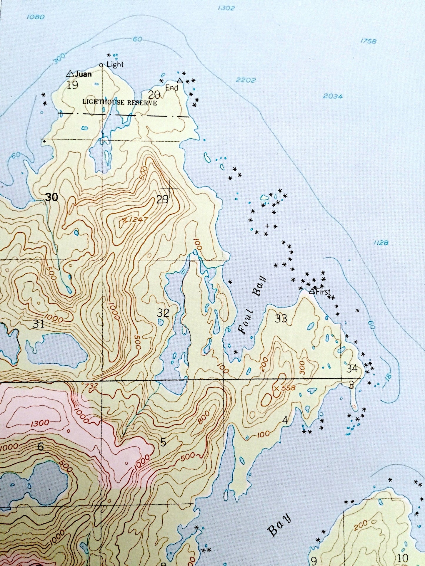
See what Alaska looked like 70 years ago. Lots of intricate details and geological contours. The USGS cartographers were very thorough back then!
Perfect for the historian, map-lover, the curious or just as a conversation starter. Wonderful and rare. Vintage maps such as these make great gifts.
Edition of 1951, printed 1987
Dimensions: 18" width x 22" height
----
Features
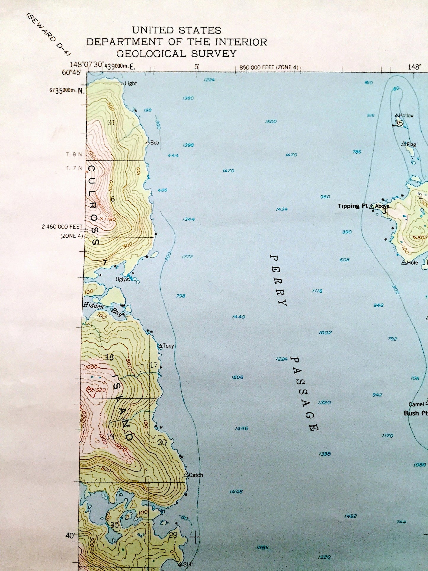
Points of Interest: Perry Island, Prince William Sound, Culross Island, Lone Island, Crafton Island, Meares Point, Tipping Point, Hidden Bay, Lone Passage, Perry Passage, fish hatchery, seaplane base, and lots more hills, mountains, glaciers, bays, points, sounds, rivers, lakes, creeks.
Condition: Very Good condition, commensurate with age. This map is in incredible shape for being over 30 years old. Has light edge-wear and tears, all of which will read as vintage character when framed.
----
We will happily adjust shipping price for multiple purchases. Maps are rolled up and shipped in sturdy mailing tubes, never folded.
Couldn't load pickup availability
Share