My Store
Antique Shermans Dale, Pennsylvania 1952 US Geological Survey Topographic Map – Perry County, Cumberland County, Carroll, North Middleton
Antique Shermans Dale, Pennsylvania 1952 US Geological Survey Topographic Map – Perry County, Cumberland County, Carroll, North Middleton
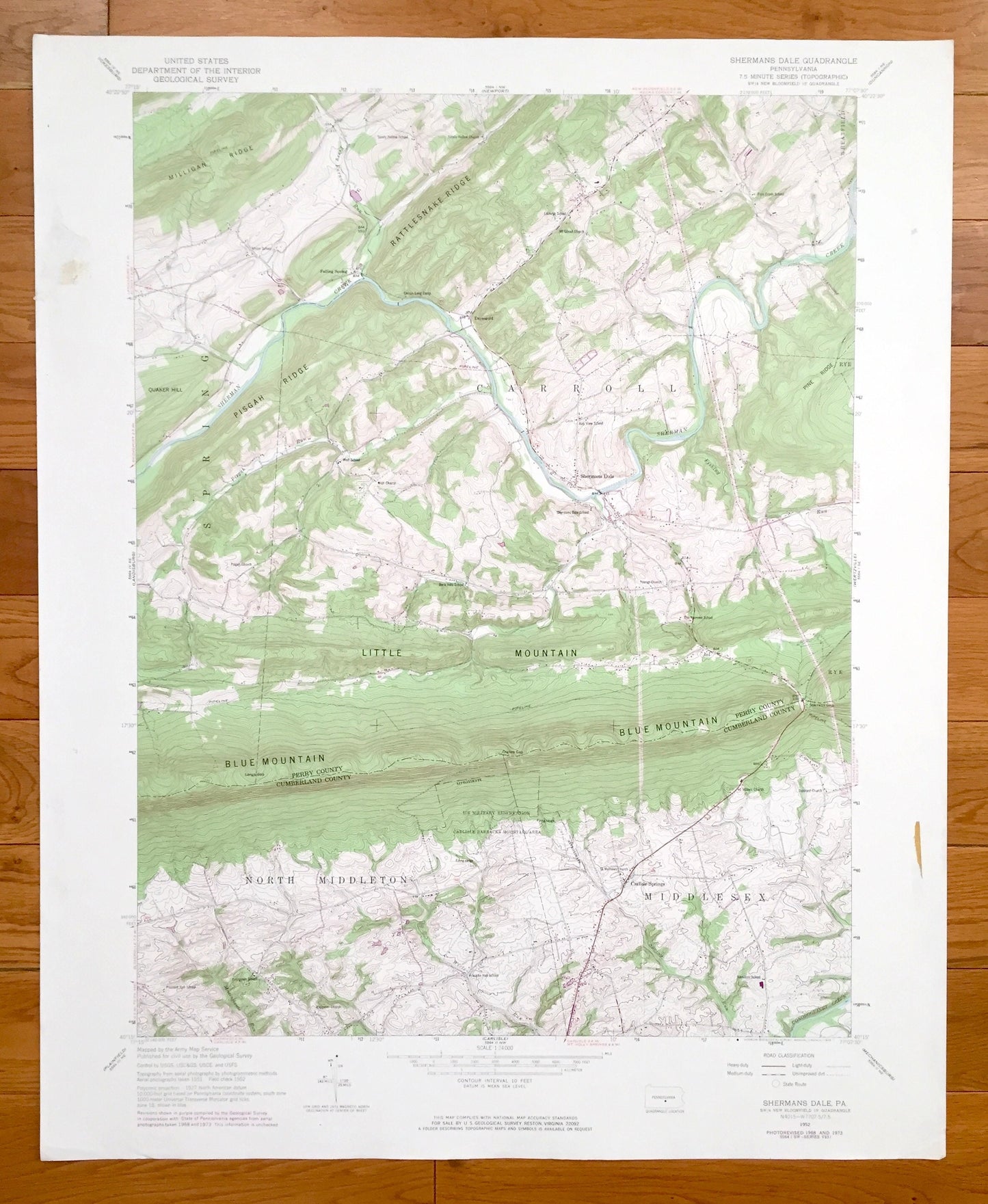
Beautiful, antique map of Shermans Dale, Pennsylvania and surrounding Perry County and Cumberland County areas. This is an authentic 1952 edition, 1973 print from the U.S. Geological Survey and NOT a computer reproduction.
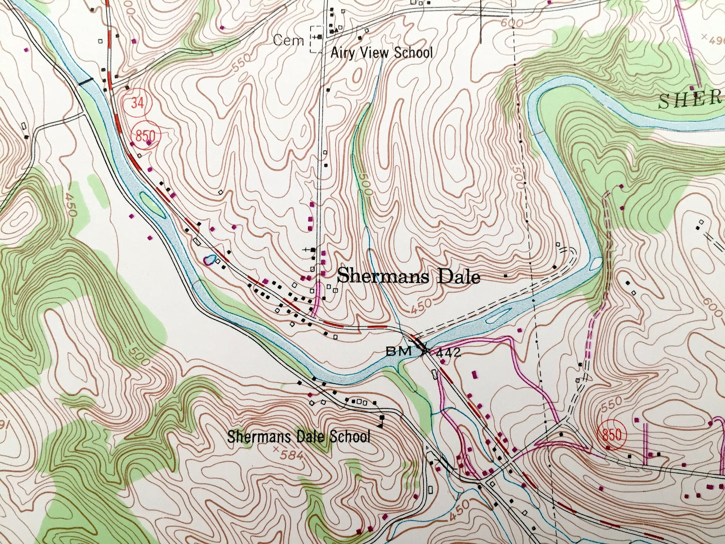
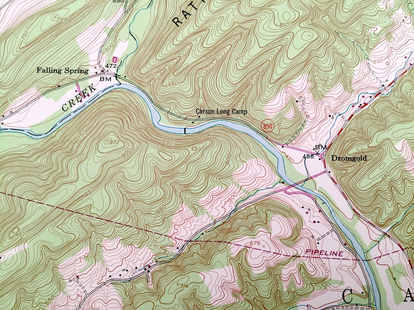
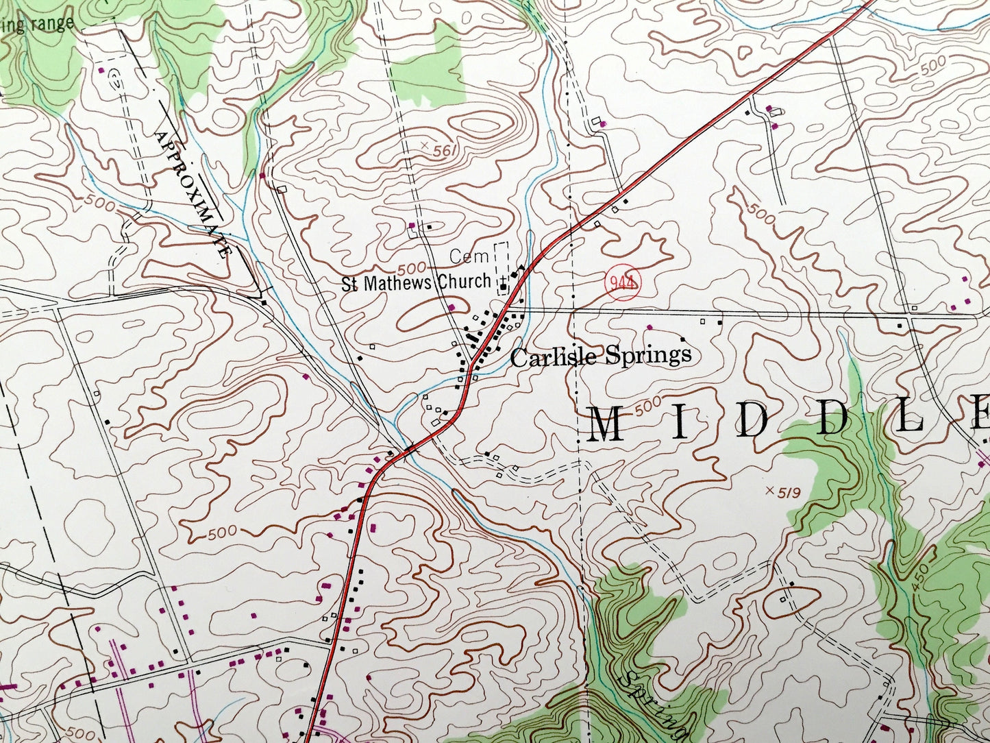
See what Pennsylvania looked like over 65 years ago. Lots of intricate details and geological contours. Map even has little squares for every house that existed at the time. The USGS cartographers were very thorough back then!
Perfect for the historian, map-lover, the curious or just as a conversation starter. Wonderful and rare. Vintage maps such as these make great gifts.
Edition of 1952, printed 1973
Dimensions: 22" width x 27" height
----
Features
Cities & Towns: Shermans Dale, Spring, Middlesex, Rye, Wheatfield, Dromgold, Falling Spring, Carroll, North Middleton, Carlisle Springs.
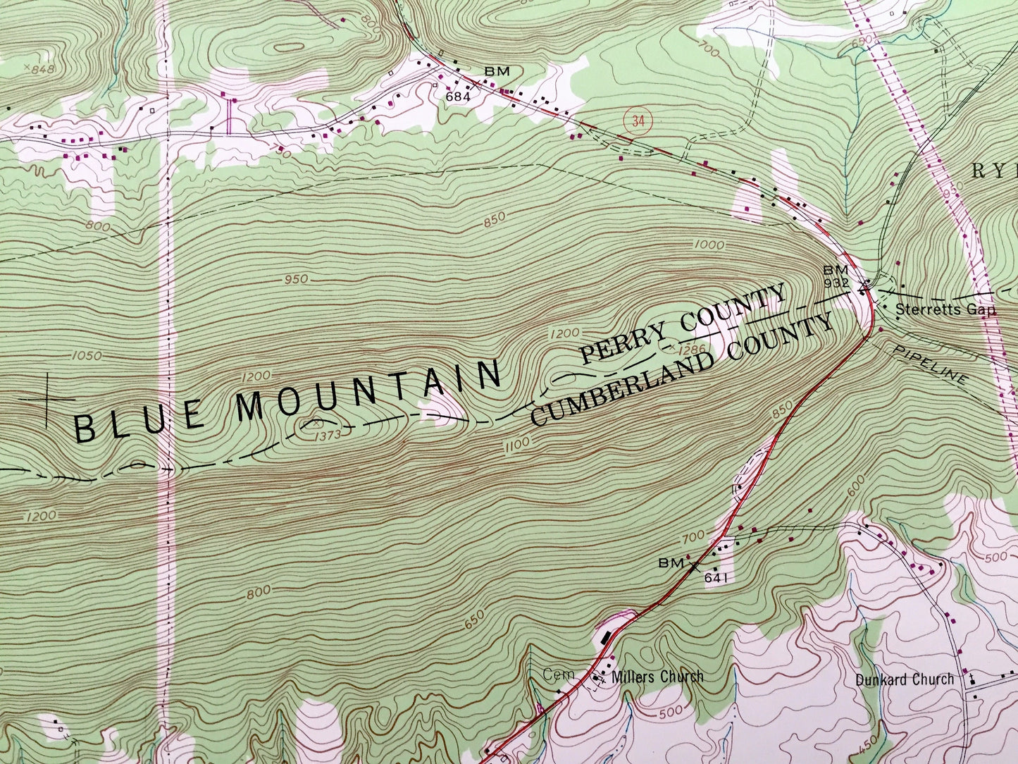
Points of Interest: Perry County, Cumberland County, Blue Mountain, Little Mountain, Quaker Hill, Rattlesnake Ridge, Pisgah Ridge, Milligan Ridge, Shermans Creek and many more hills, streams, ponds, houses, schools, churches and roads.
Condition: Very Good condition, commensurate with age. This map is in incredible shape for being over 45 years old. Has some light edge-wear, tears, archival tape, all of which will read as vintage character when framed.
----
We will happily adjust shipping price for multiple purchases. Maps are rolled up and shipped in sturdy mailing tubes, never folded.
Couldn't load pickup availability
Share