My Store
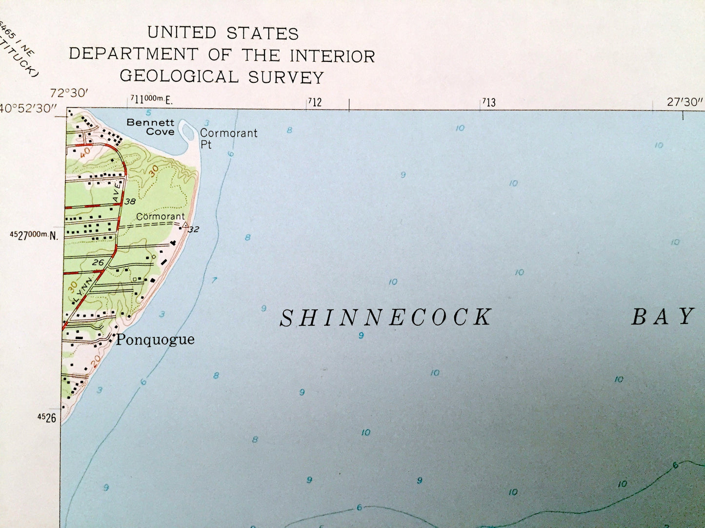
Antique Shinnecock Inlet, New York 1955 US Geological Survey Topographic Map – Suffolk County, Long Island, Southampton, Ponquogue, NY
Antique Shinnecock Inlet, New York 1955 US Geological Survey Topographic Map – Suffolk County, Long Island, Southampton, Ponquogue, NY
Beautiful, antique map of Shinnecock Inlet, New York and surrounding Suffolk County areas. This is an authentic 1955 edition, 1976 print from the U.S. Geological Survey and is NOT a computer reproduction.
See what New York looked like over 65 years ago. Lots of intricate details and geological contours. Map even has little squares for every house that existed at the time. The USGS cartographers were very thorough back then!
Perfect for the historian, map-lover, the curious or just as a conversation starter. Wonderful and rare. Vintage maps such as these make great gifts.
Edition of 1955, printed 1976
Dimensions: 22" width x 27" height
----
Features
Cities & Towns: Long Island, Southampton, Ponquogue.
Points of Interest: Atlantic Ocean, Shinnecock Bay, Bennett Cove, Warner Islands, Shinnecock Indian Reservation, Southampton Beach, Heady Creek, Shinnecock Inlet, Taylor Creek, Halsey Neck Pond, Agawan Lake, Tiana Beach, Shinnecock Indian Cemetery, and many more hills, streams, ponds, houses, schools, railroads, churches, roads, islands, coves, and beaches.
Condition: Very Good Vintage condition, commensurate with age. This map is in great shape for being over 40 years old. Light edge-wear but this will add to vintage character when framed.
----
We will happily adjust shipping price for multiple purchases. Maps are rolled up and shipped in sturdy mailing tubes, never folded.
Couldn't load pickup availability
Share