My Store
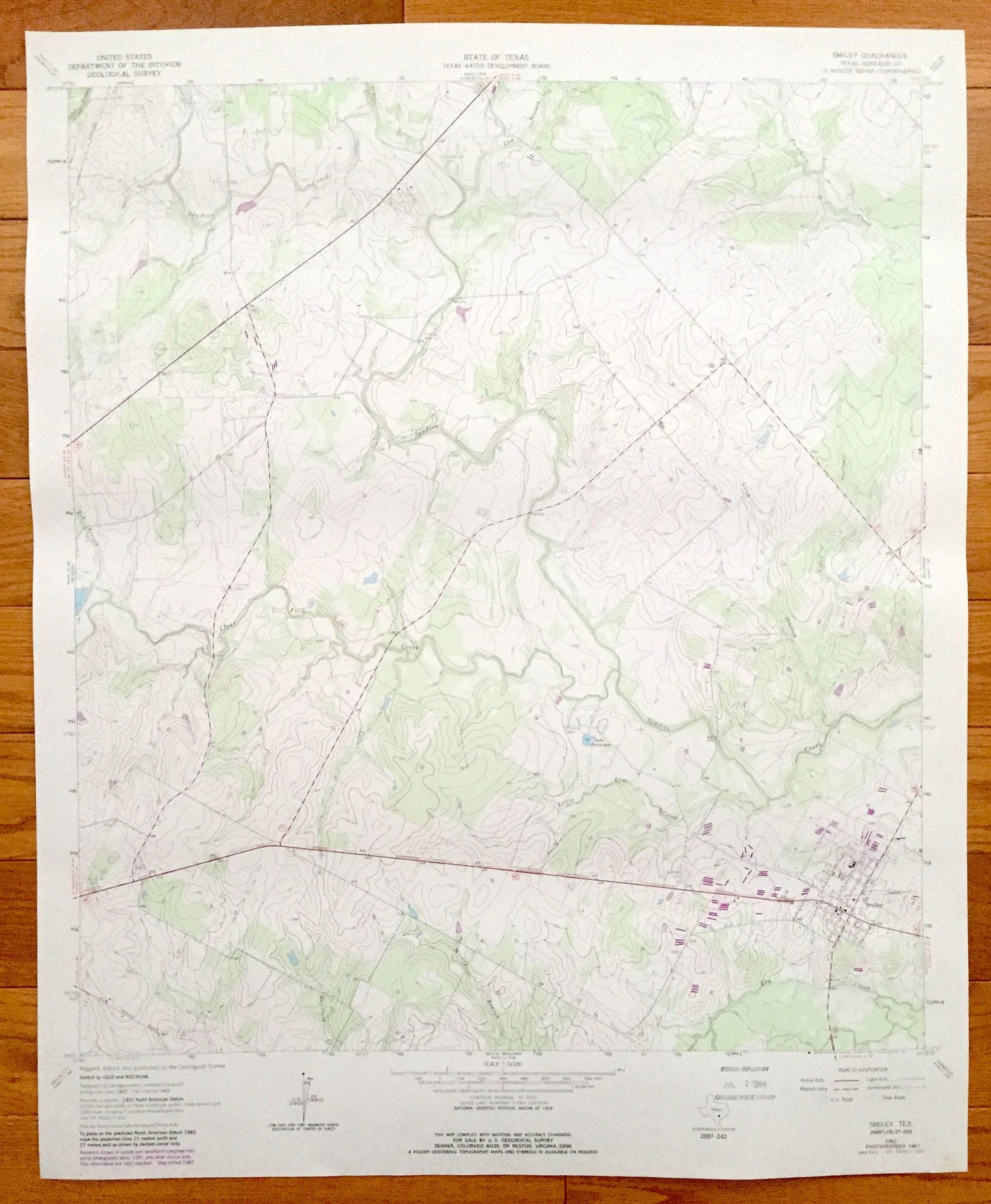
Antique Smiley, Texas 1962 US Geological Survey Topographic Map – Gonzales County, Lake Patterson, Sandies Creek, Long Hollow, Wickey Branch
Antique Smiley, Texas 1962 US Geological Survey Topographic Map – Gonzales County, Lake Patterson, Sandies Creek, Long Hollow, Wickey Branch
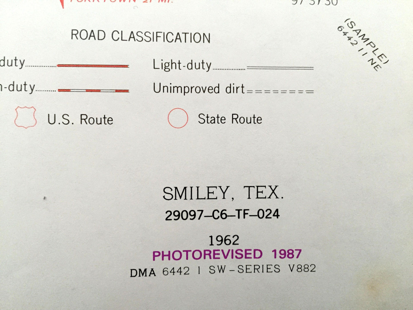
Beautiful, antique map of Smiley, Texas. This is an authentic 1962 edition, 1987 print from the U.S. Geological Survey and NOT a computer reproduction.
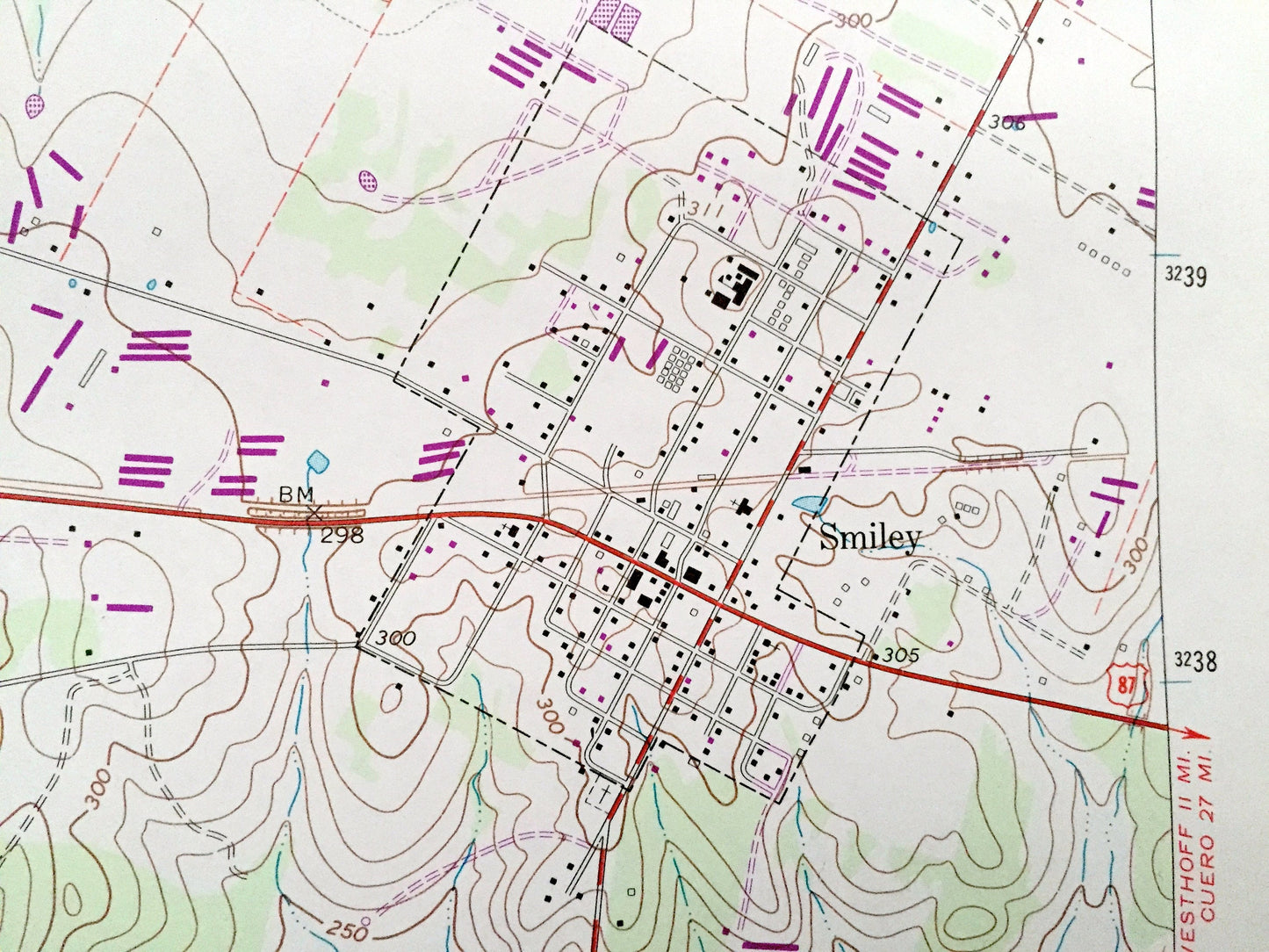
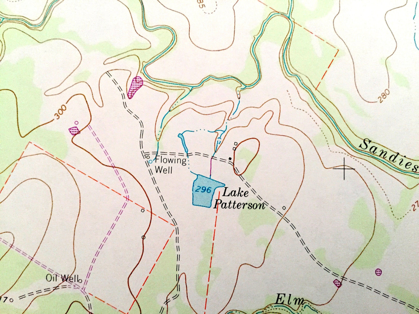
See what Gonzales County of Texas looked like 55 years ago. Lots of intricate details and geological contours. Map even has little squares for every house that existed at the time. The USGS cartographers were very thorough back then!
Perfect for the historian, map-lover, the curious or just as a conversation starter. Wonderful and rare. Vintage maps such as this make great gifts.
Edition of 1962, printed 1987
Dimensions: 23" width x 27" height
----
Features
Cities & Towns: Smiley.
Points of Interest: Long Hollow, Wickey Branch, Clear Fork Creek, Lake Patterson, Regional Oil Wells, Sandies Creek, Poultry Farm, Union Hill Cemetery, and many other roads, creeks and houses.
Condition: Good condition, commensurate with age. This map is in incredible shape for being 30 years old.
----
We will happily adjust shipping price for multiple purchases. Maps are rolled up and shipped in sturdy mailing tubes, never folded.
Couldn't load pickup availability
Share