My Store
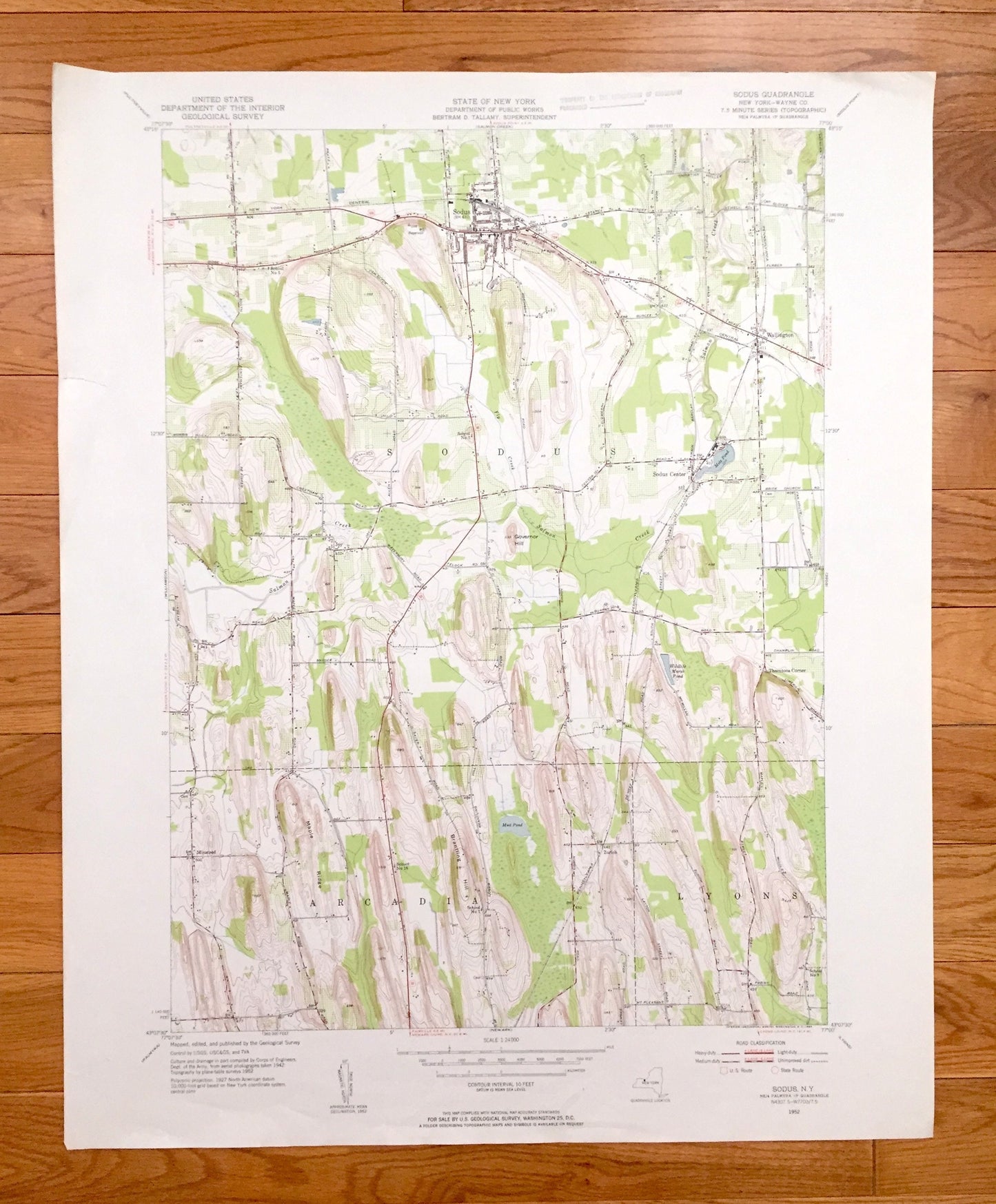
Antique Sodus, New York 1952 US Geological Survey Topographic Map – Wayne County, Arcadia, Lyons, Wallington, Minsteed, Thorntons Corner, NY
Antique Sodus, New York 1952 US Geological Survey Topographic Map – Wayne County, Arcadia, Lyons, Wallington, Minsteed, Thorntons Corner, NY
Beautiful, antique map of Sodus, New York and surrounding Wayne County areas. This is an authentic 1952 edition, 1954 print from the U.S. Geological Survey and NOT a computer reproduction.
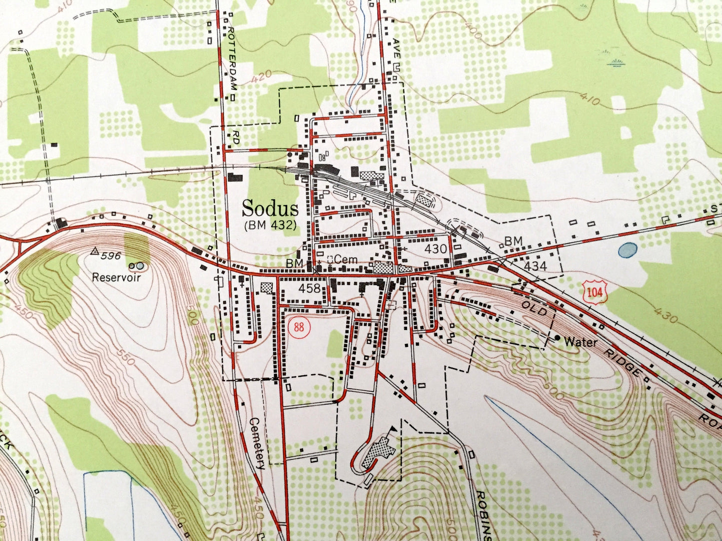
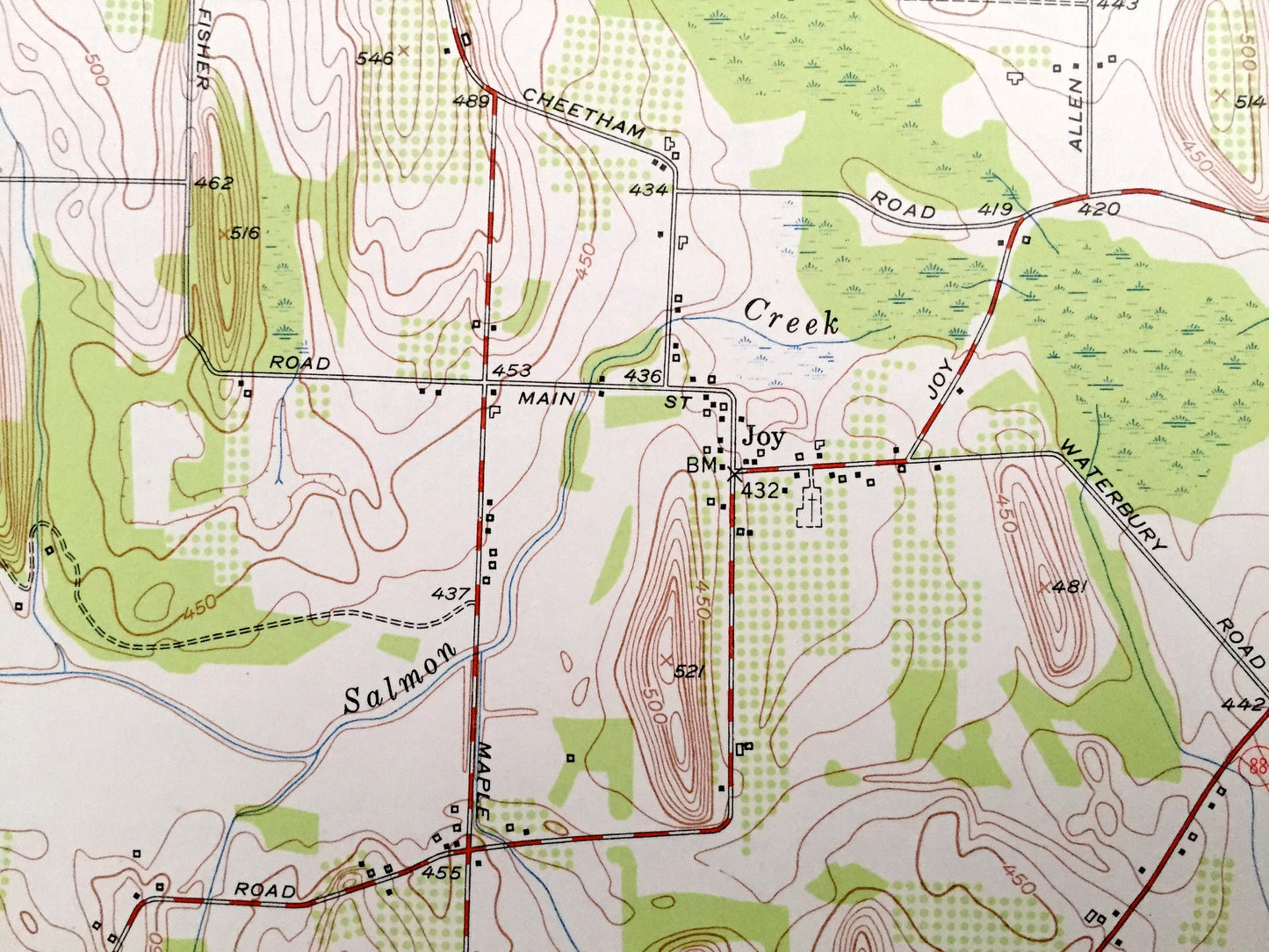
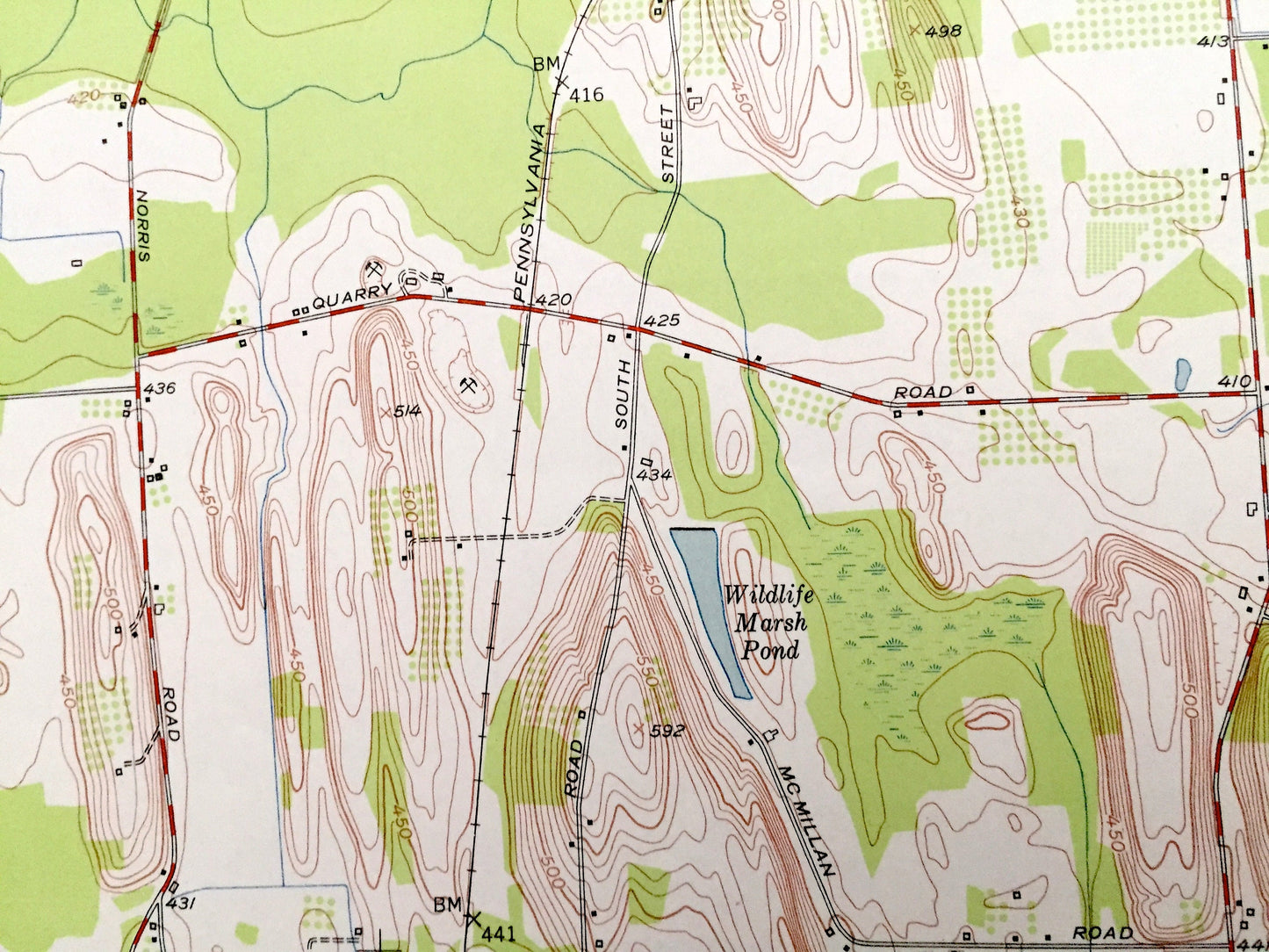
See what New York looked like over 65 years ago. Lots of intricate details and geological contours. Map even has little squares for every house that existed at the time. The USGS cartographers were very thorough back then!
Perfect for the historian, map-lover, the curious or just as a conversation starter. Wonderful and rare. Vintage maps such as these make great gifts.
Edition of 1952, printed 1954
Dimensions: 22" width x 27" height
----
Features
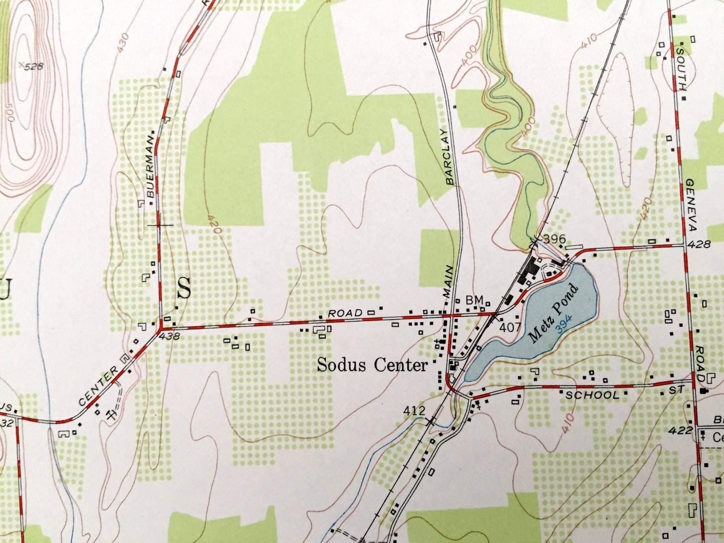
Cities & Towns: Zurich, Sodus Center.
Points of Interest: Governor Hill, Maple Ridge, Brantling Hill, Wildlife Marsh Pond, Metz Pond, Mud Pond, Township Schools, Salmon Creek, Fly Creek, and many more hills, streams, ponds, houses, schools, churches and roads.
Condition: Very Good Vintage condition, commensurate with age. This map is in incredible shape for being over 65 years old. Has some edge-wear and small tears, all of which will read as character when framed.
----
We will happily adjust shipping price for multiple purchases. Maps are rolled up and shipped in sturdy mailing tubes, never folded.
Couldn't load pickup availability
Share