My Store
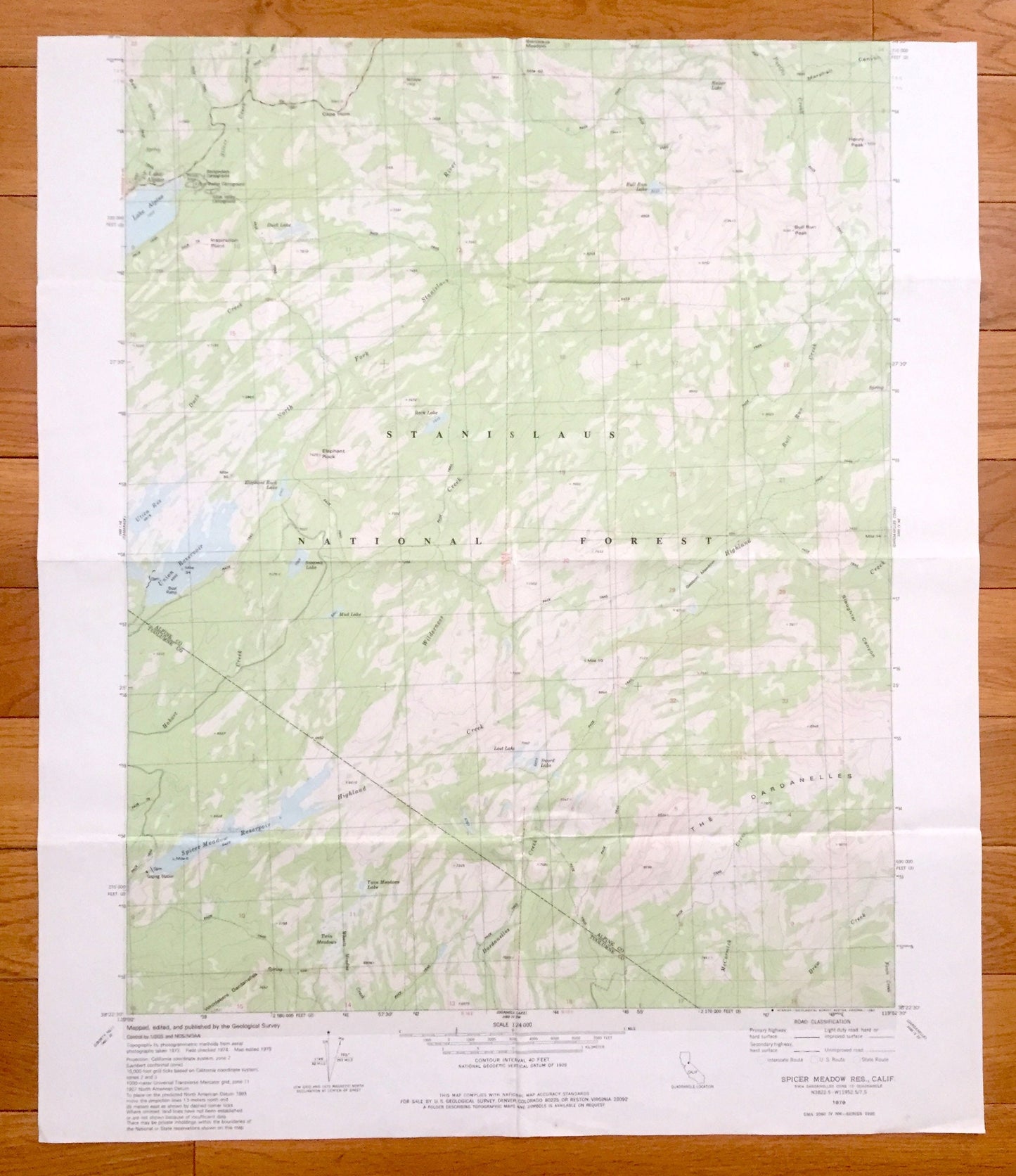
Antique Spicer Meadow Reservoir, California 1979 US Geological Survey Topographic Map – Tuolumne Co, Lake Alpine, Henry Peak, Bull Run Peak
Antique Spicer Meadow Reservoir, California 1979 US Geological Survey Topographic Map – Tuolumne Co, Lake Alpine, Henry Peak, Bull Run Peak
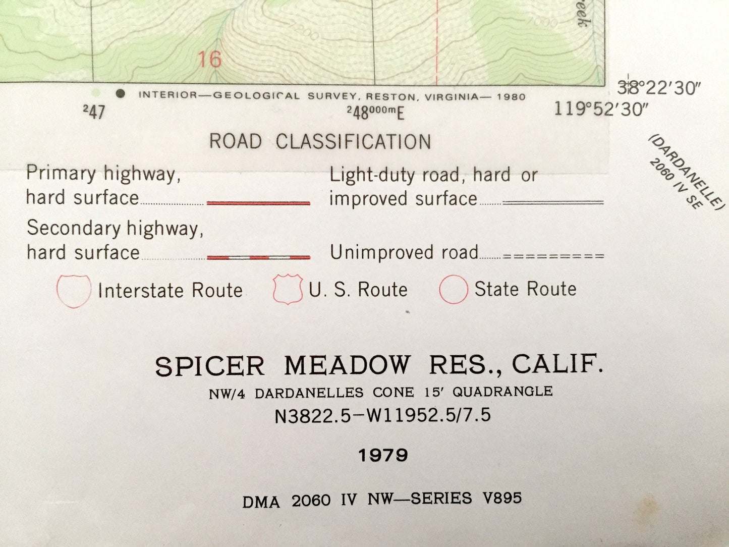
Beautiful, antique map of Spicer Meadow Reservoir, California and surrounding Tuolumne and Alpine County area. This is an authentic 1979 print from the U.S. Geological Survey and NOT a computer reproduction.
See what California looked like almost 40 years ago. Lots of intricate details and geological contours. Map even has little squares for every house that existed at the time. The USGS cartographers were very thorough back then!
Perfect for the historian, map-lover, the curious or just as a conversation starter. Wonderful and rare. Vintage maps such as these make great gifts.
Edition of 1979, printed 1979
Dimensions: 22" width x 22 1/2" height
----
Features
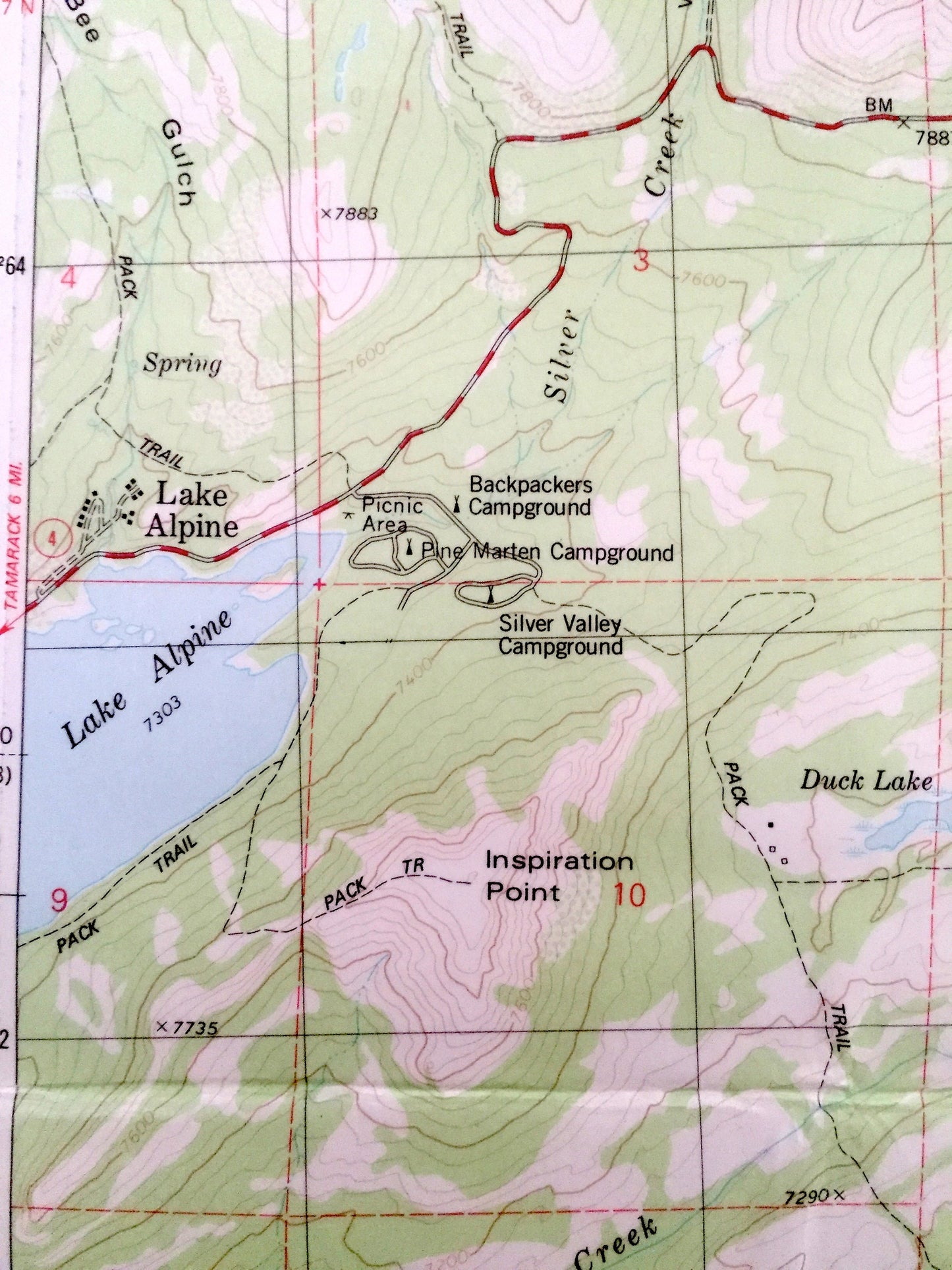
Cities & Towns: Lake Alpine.
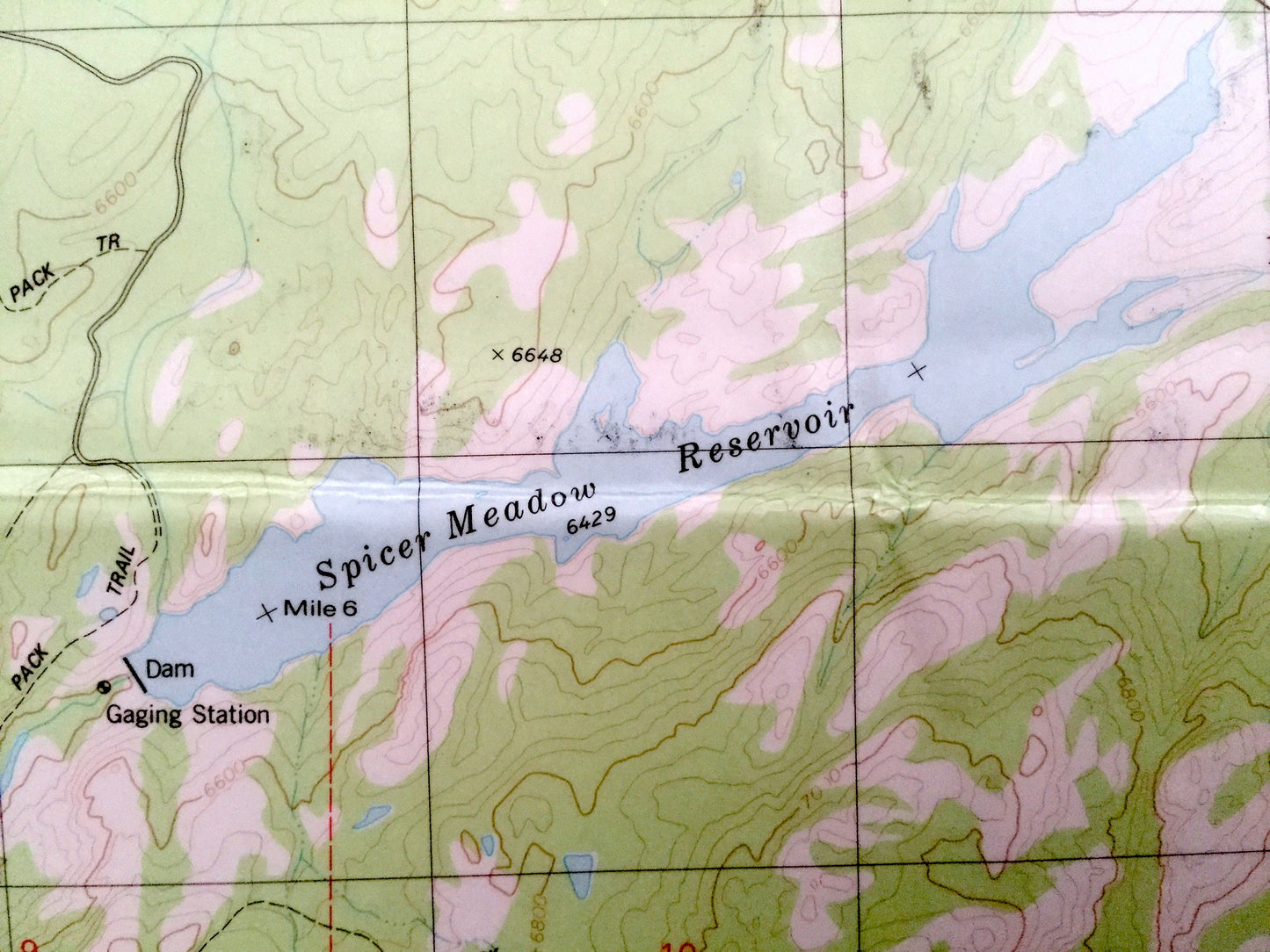
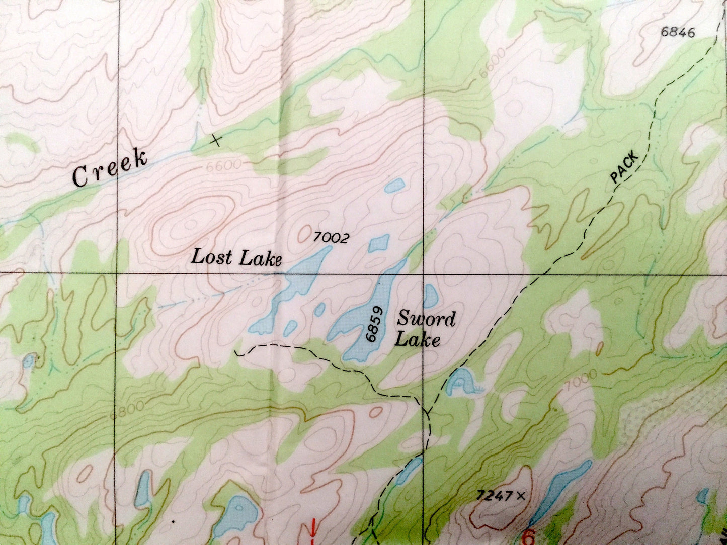
Points of Interest: Spicer Meadow Reservoir, Stanislaus National Forest, The Dardanelles, Bull Run Peak, Inspiration Point, Cape Horn, Duck Lake, Utica Reservoir, Union Reservoir, Sword Lake, Henry Peak, Elephant Rock, Twin Meadows, Slaughter Canyon, Highland Creek, and many more hills, streams, ponds, houses, schools, churches and roads.
Condition: Very Good condition, commensurate with age. This map is in incredible shape for being almost 40 years old. Map is partially laminated. Has some fold marks, but this will read as vintage character when framed. Top margin has been removed as well.
----
We will happily adjust shipping price for multiple purchases. Maps are rolled up and shipped in sturdy mailing tubes, never folded.
Couldn't load pickup availability
Share