My Store
Antique Spruce Knob, West Virginia 1970 US Geological Survey Topographic Map - Pendleton County, Circleville, Union, Dry Fork, Greenbank WV
Antique Spruce Knob, West Virginia 1970 US Geological Survey Topographic Map - Pendleton County, Circleville, Union, Dry Fork, Greenbank WV
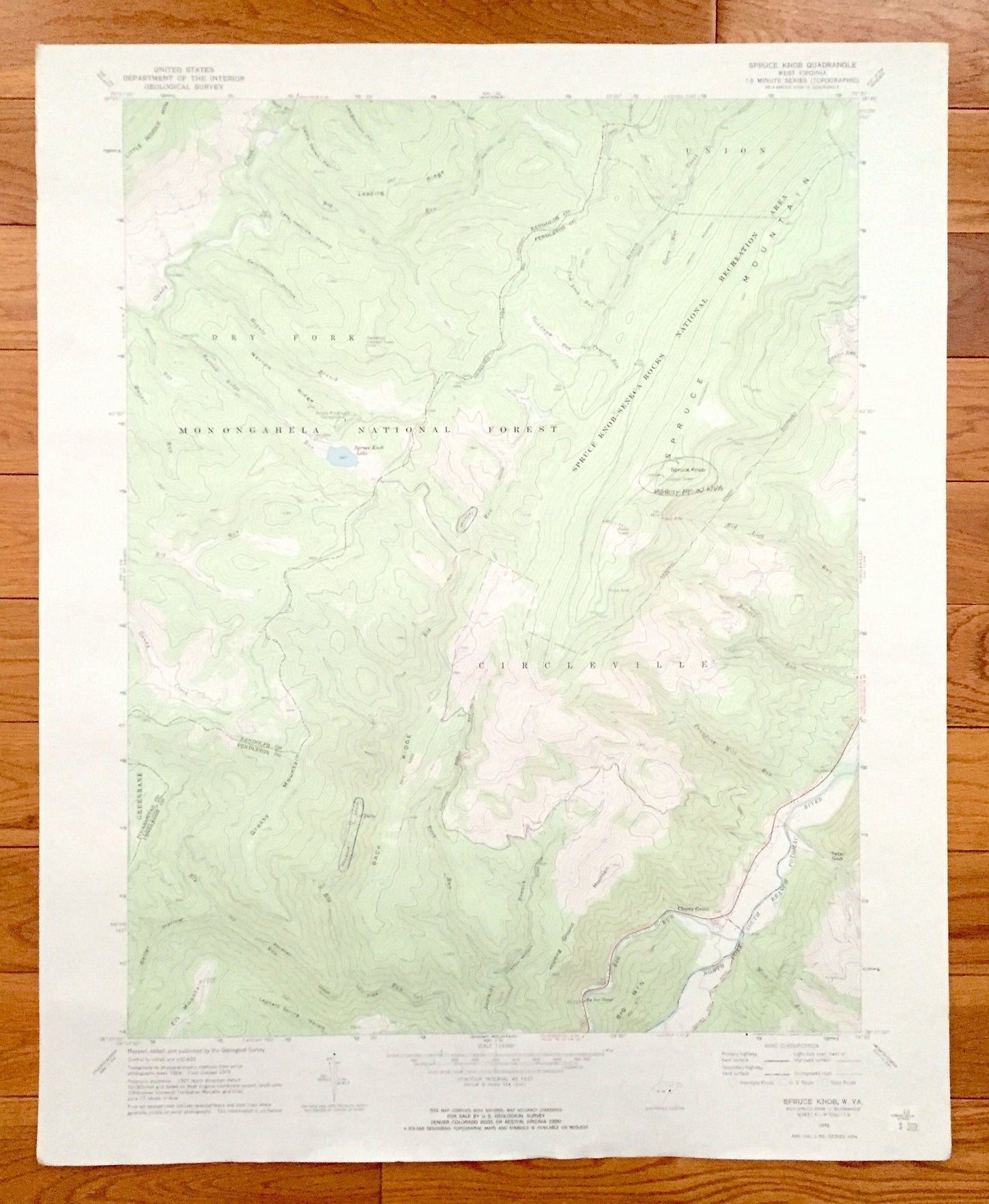
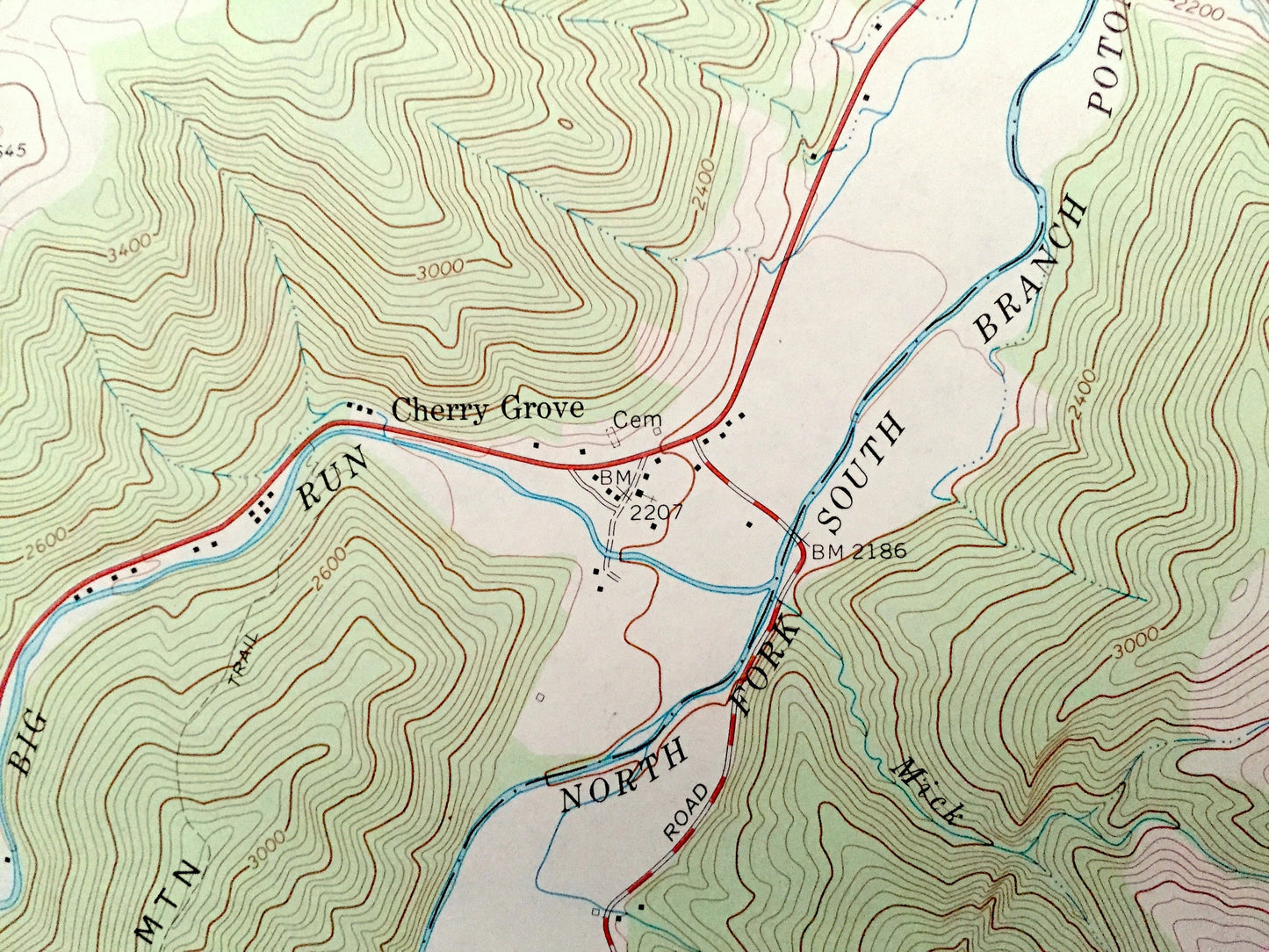
Beautiful, antique map of Spruce Knob, West Virginia and surrounding Pendleton, Randolph, and Pocahontas County areas. This is an authentic 1970 edition, 1973 print from the U.S. Geological Survey and NOT a computer reproduction.
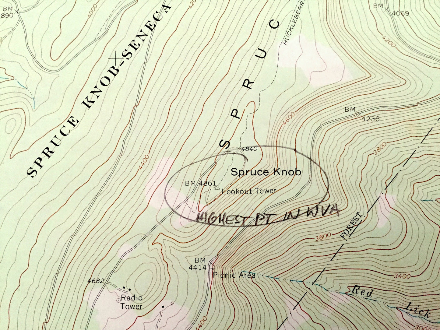
See what West Virginia looked like over 50 years ago. Lots of intricate details and geological contours. Map even has little squares for every house that existed at the time. The USGS cartographers were very thorough back then!
Perfect for the historian, map-lover, the curious or just as a conversation starter. Wonderful and rare. Vintage maps such as these make great gifts.
Edition of 1970, printed 1973
Dimensions: 21" width x 27" height
----
Features
Cities & Towns: Circleville, Cherry Grove, Union, Dry Fork, Greenbank.
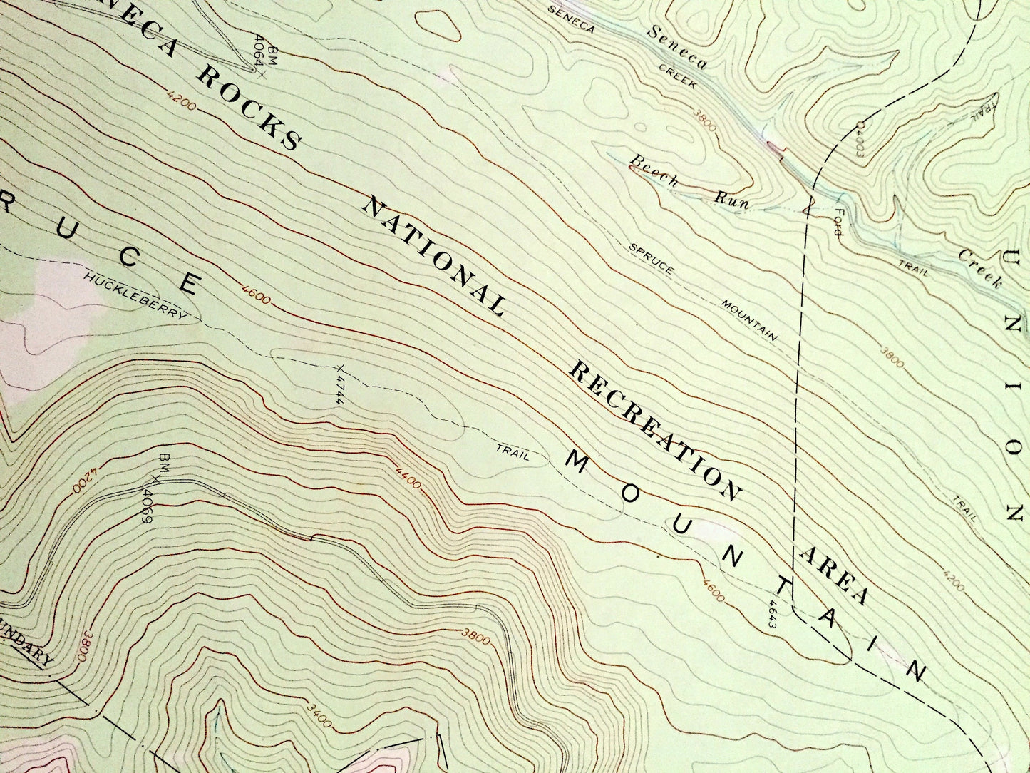
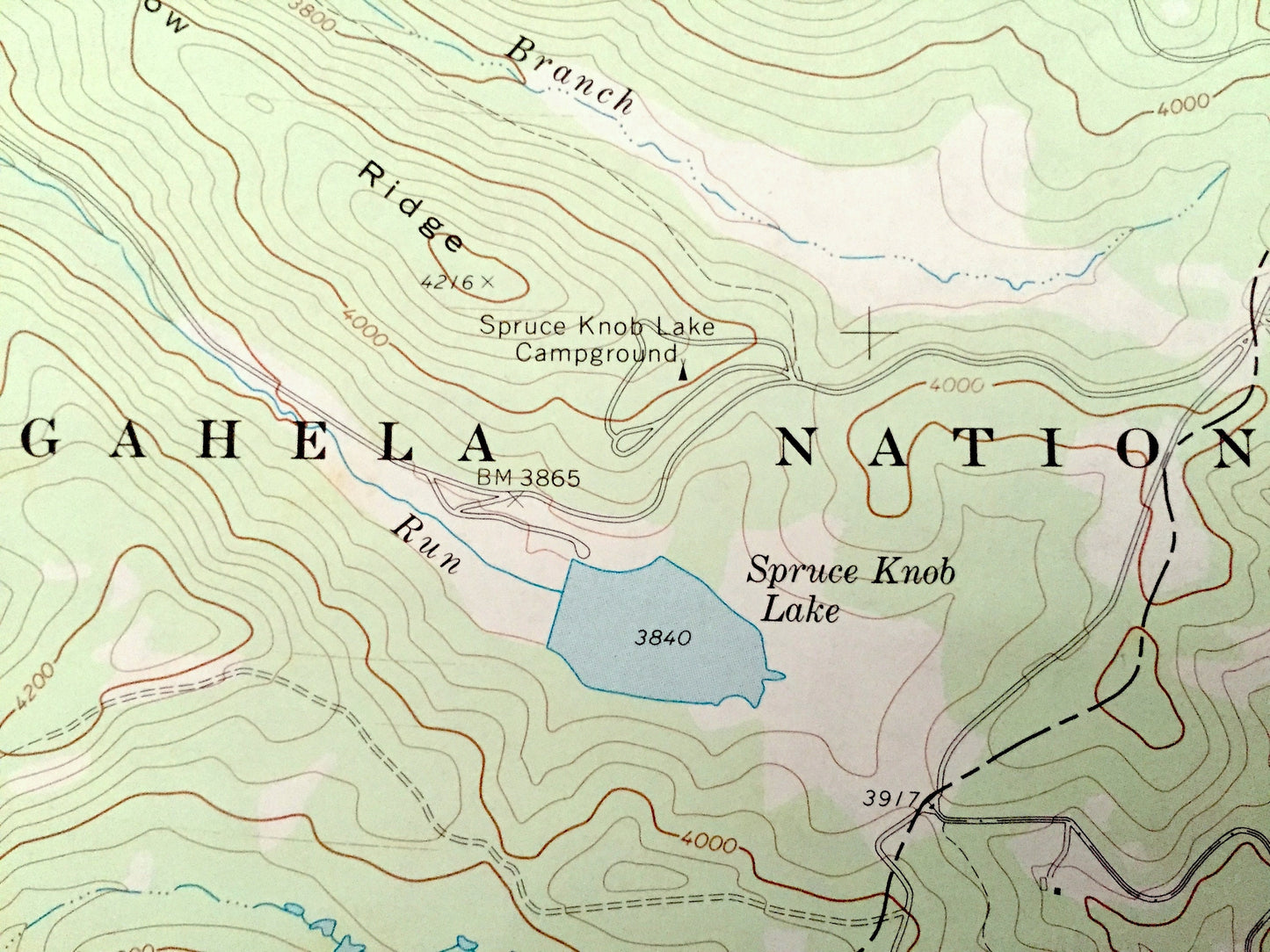
Points of Interest: Pendleton County, Randolph County, Pocahontas County, Spruce Knob, Spruce Mountain, Grassy Mountain, Big Mountain, Spruce Knob - Seneca Rocks National Recreation Area, Leading Ridge, Back Ridge, Potomac River, Switchback Hollow, Gandy Creek, and many more roads, railroads, houses, ponds, hills, creeks, and lakes.
Condition: Good Vintage condition, commensurate with age. This map is in great shape for being over 45 years old. Has some edge-wear and a few pencil markings, but this will add to vintage character when framed.
----
We will happily adjust shipping price for multiple purchases. Maps are rolled up and shipped in sturdy mailing tubes, never folded.
Couldn't load pickup availability
Share