My Store
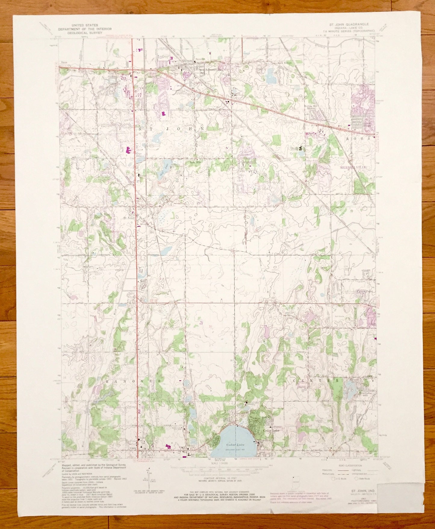
Antique St. John, Indiana 1962 US Geological Survey Topographic Map – Ross, Hanover, Center, Cedar Lake, Schererville, Cook, Lake County
Antique St. John, Indiana 1962 US Geological Survey Topographic Map – Ross, Hanover, Center, Cedar Lake, Schererville, Cook, Lake County
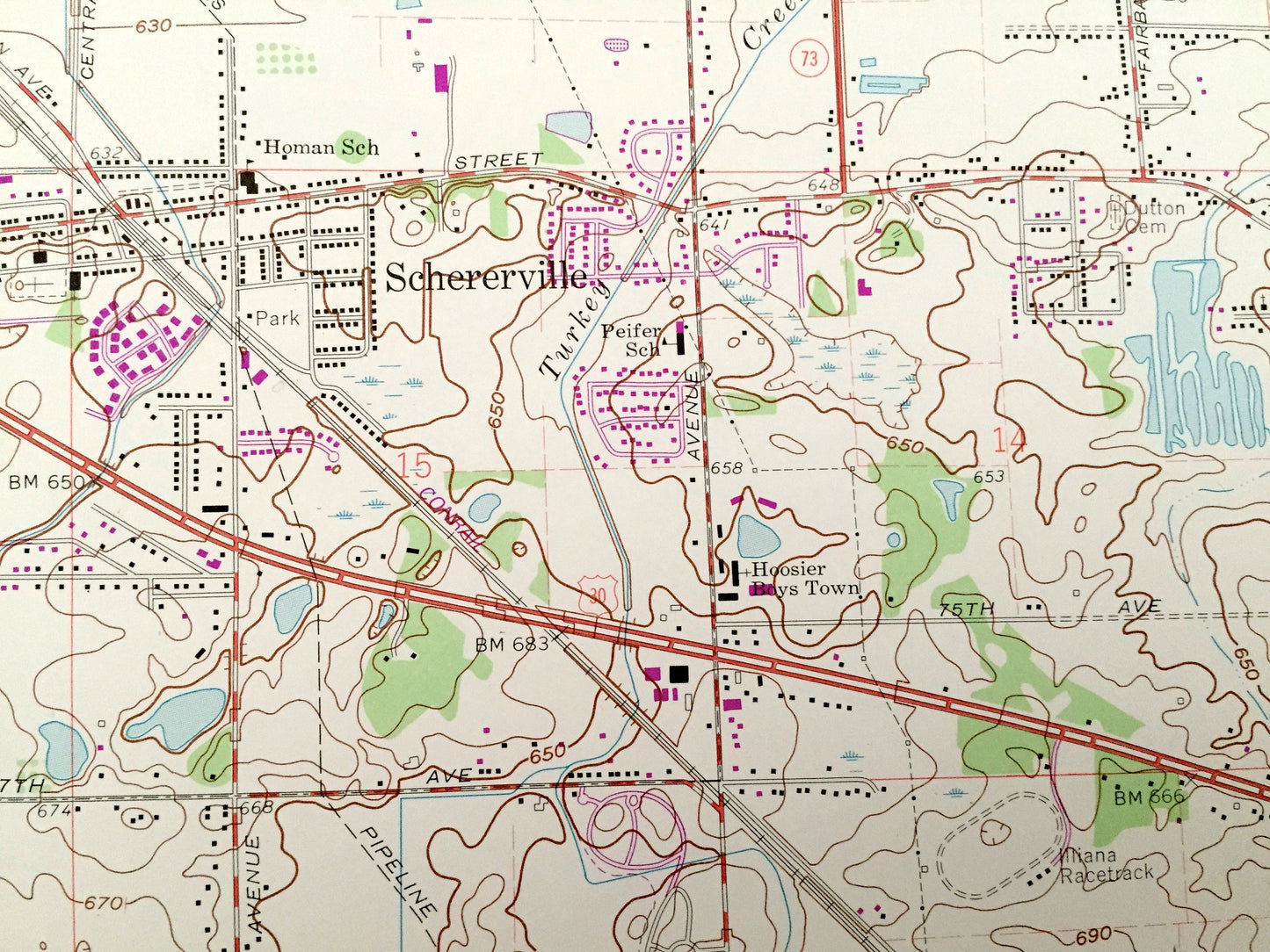
Beautiful, antique map of St. John, Ross, Hanover & Center, Indiana and surrounding Lake County area. This is an authentic 1962 edition, 1980 print from the U.S. Geological Survey and NOT a computer reproduction.
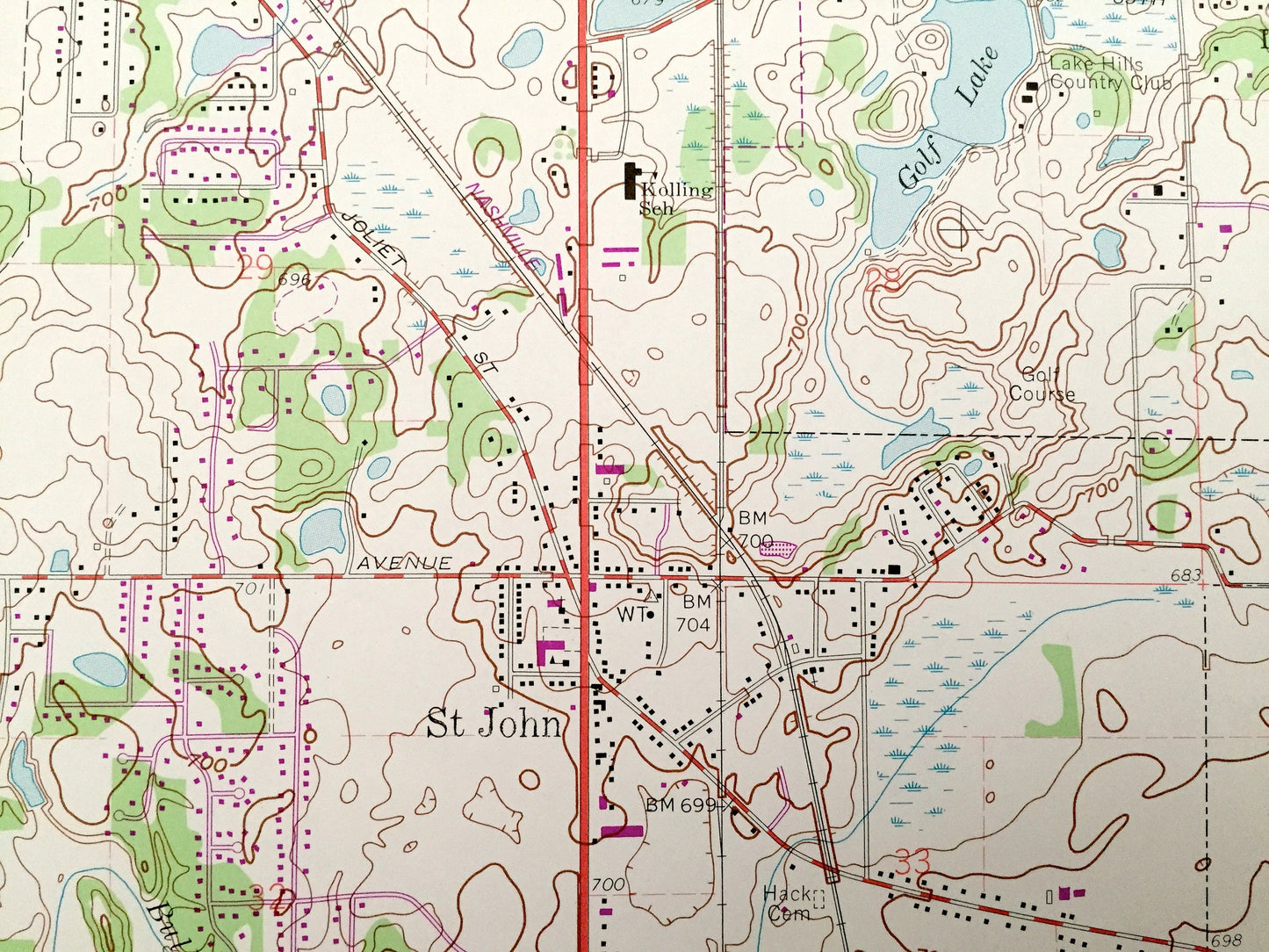
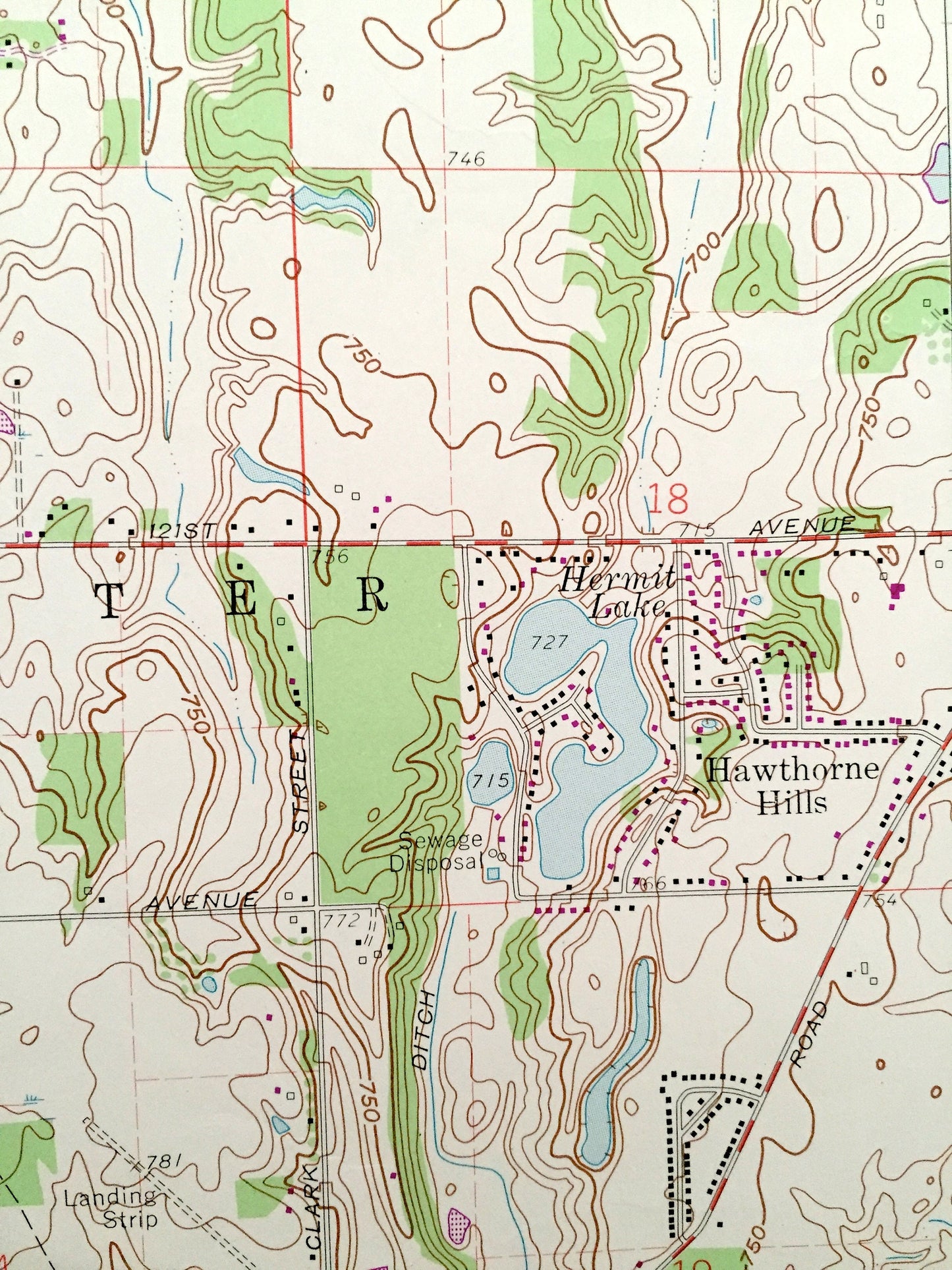
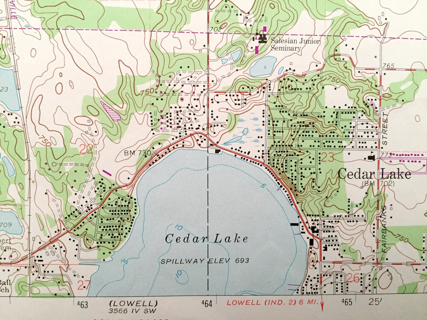
See what Indiana looked like almost 60 years ago. Lots of intricate details and geological contours. Map even has little squares for every house that existed at the time. The USGS cartographers were very thorough back then!
Perfect for the historian, map-lover, the curious or just as a conversation starter. Wonderful and rare. Vintage maps such as these make great gifts.
Edition of 1962, printed 1980
Dimensions: 22" width x 27" height
----
Features
Cities & Towns: St. John, Ross, Hanover, Center, Schererville, New Elliott, Rolling Hill Estates, Lincoln Village, Crown Point, Cook, Cedar Lake, Hawthorne Hills, Lake Hills.
Points of Interest: Lake County, Cedar Lake, Golf Lake, Bingo Lake, Capuchin Seminary, Lake Hills Country Club, St. Johns Seminary, Hermit Lake, Erie-Lackawanna Railroad, Pennsylvania Railroad, Monon Railroad and lots more creeks, lakes, hills, houses, schools, churches, train tracks and roads.
Condition: Very Good condition, commensurate with age. This map is in incredible shape for being almost 40 years old. Bottom right corner has been cut, but this is easily concealed by placing same-colored paper behind map when framing—as seen in photo.
----
We will happily adjust shipping price for multiple purchases. Maps are rolled up and shipped in sturdy mailing tubes, never folded.
Couldn't load pickup availability
Share