My Store
Antique Stratton, Nebraska 1962 US Geological Survey Topographic Map – Pleasant View, Swanson Lake, Starkey, Webster, Hitchcock County, NE
Antique Stratton, Nebraska 1962 US Geological Survey Topographic Map – Pleasant View, Swanson Lake, Starkey, Webster, Hitchcock County, NE
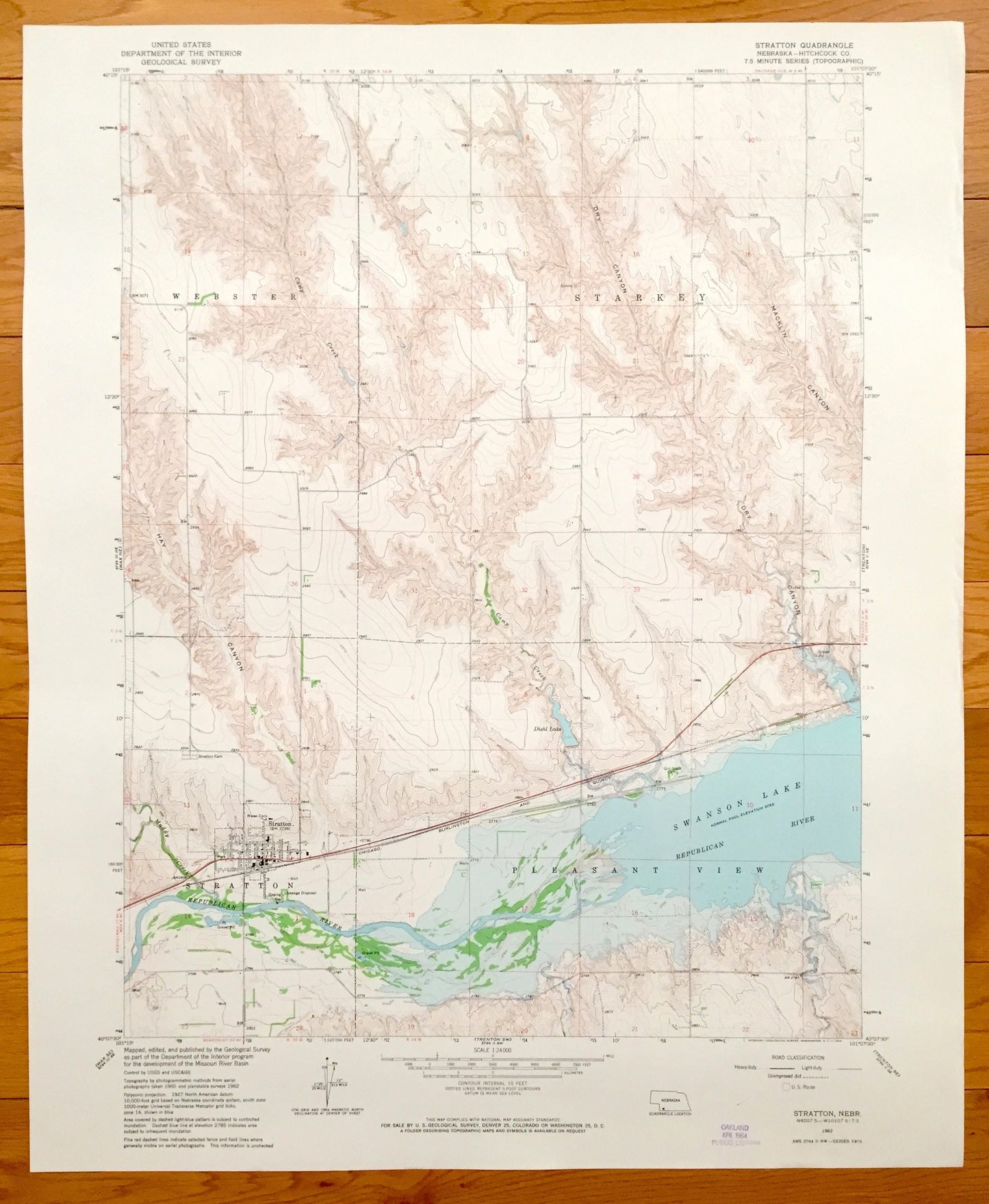
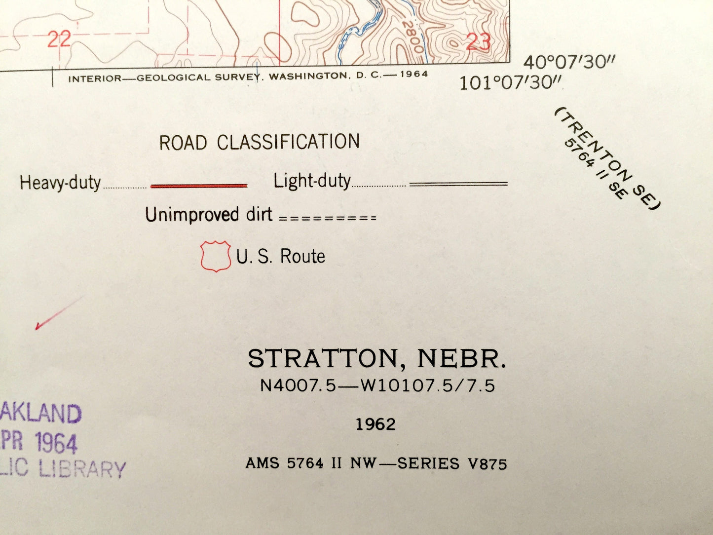
Beautiful, antique map of Stratton, Pleasant View, Starkey, Webster and Swanson Lake, Nebraska. This is an authentic 1962 print from the U.S. Geological Survey and NOT a computer reproduction.
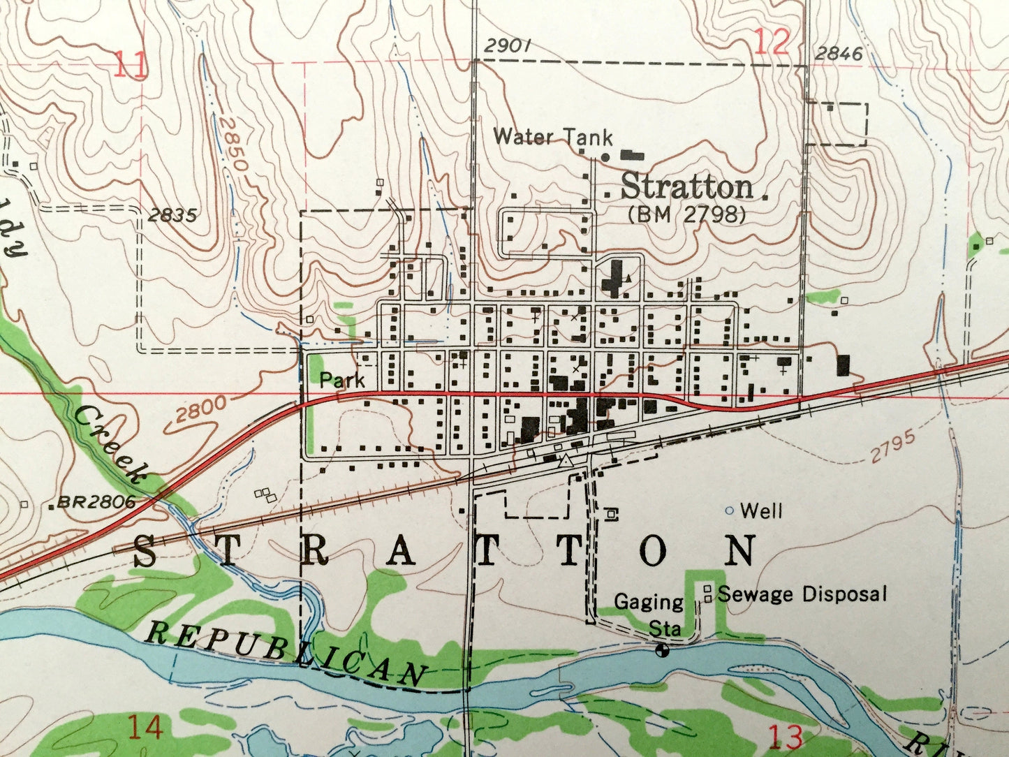
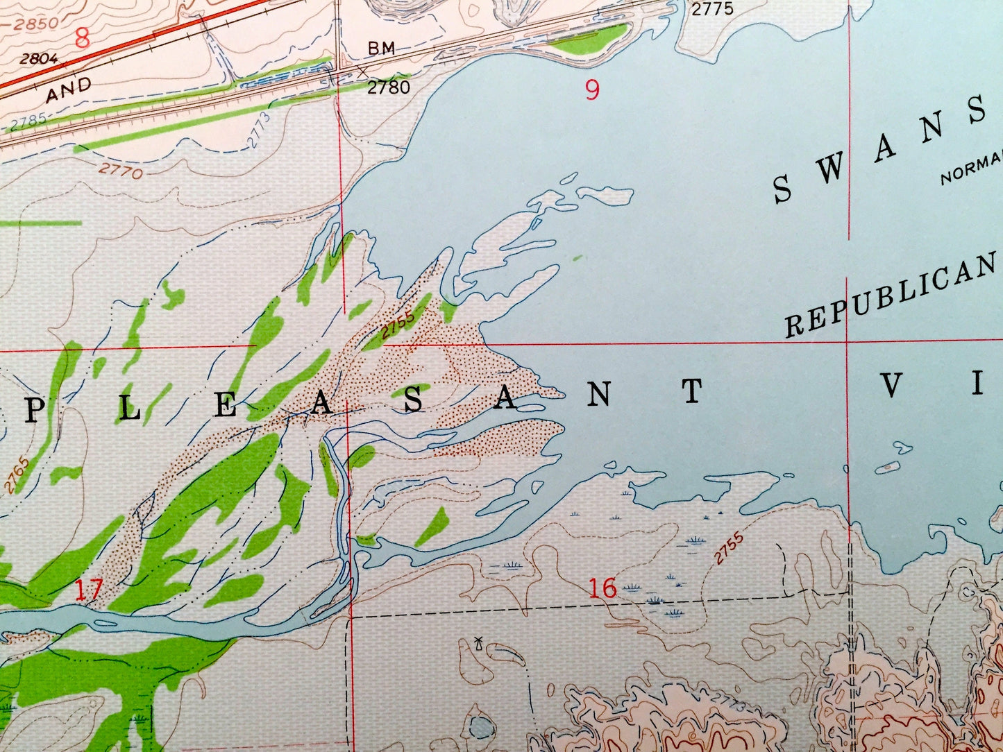
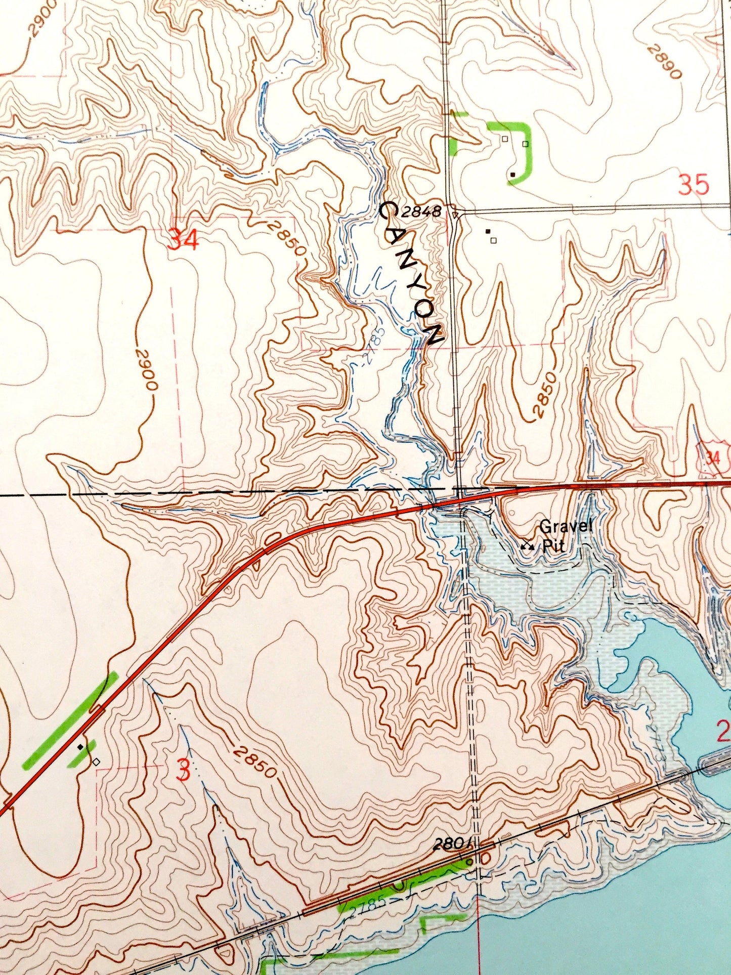
See what Hitchcock County of Nebraska, looked like 55 years ago. Lots of intricate details and geological contours. Map even has little squares for every house that existed at the time. The USGS cartographers were very thorough back then!
Perfect for the historian, map-lover, the curious or just as a conversation starter. Wonderful and rare. Vintage maps such as this make great gifts.
Edition of 1962, printed 1962
Dimensions: 22" width x 27" height
----
Features
Cities & Towns: Pleasant View, Stratton, Starkey, Webster.
Points of Interest: Swanson Lake, Macklin Canyon, Republican River, Dry Canyon, Chicago Burlington and Quincy Railroad, Diehl Lake, Hay Canyon and many more roads ponds and houses.
Condition: Very Good condition, commensurate with age. This map is in incredible shape for being 55 years old.
----
We will happily adjust shipping price for multiple purchases. Maps are rolled up and shipped in sturdy mailing tubes, never folded.
Couldn't load pickup availability
Share