My Store
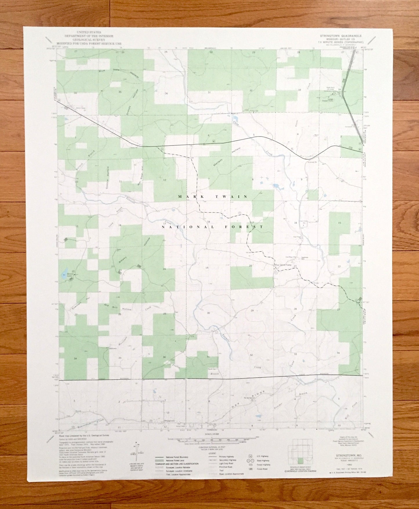
Antique Strington, Missouri 1980 US Geological Survey Topographic Map – Butler County, Pine Grove Camp, Mark Twain National Forest, MO
Antique Strington, Missouri 1980 US Geological Survey Topographic Map – Butler County, Pine Grove Camp, Mark Twain National Forest, MO
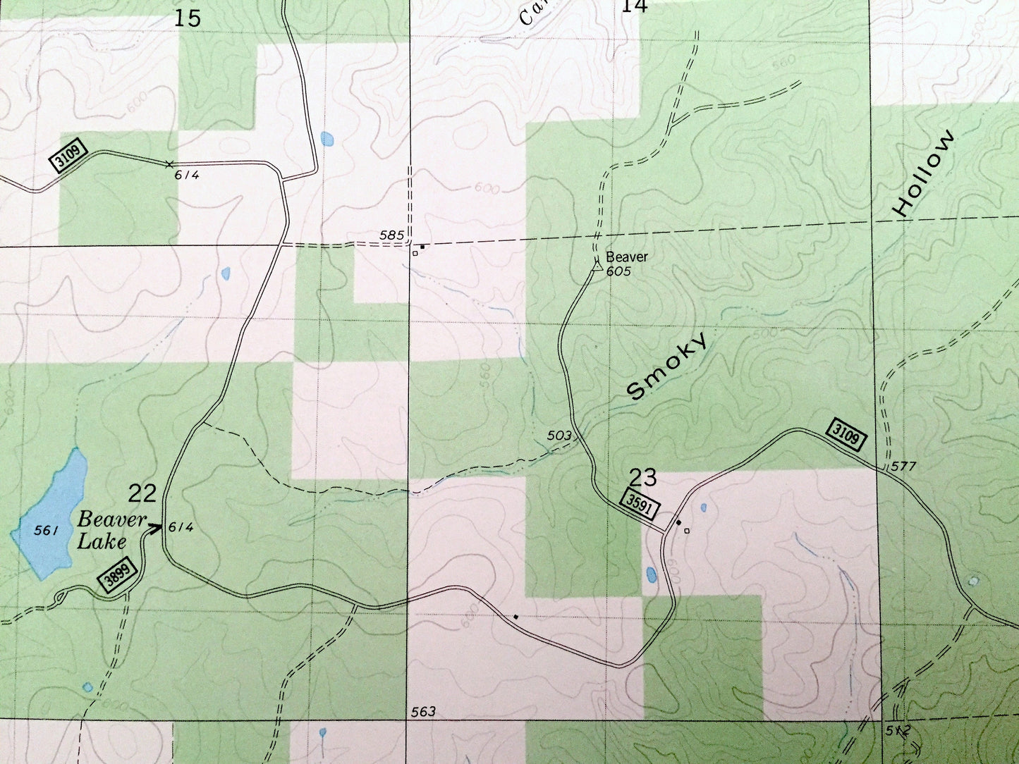
Beautiful, antique map of Strington, Missouri and surrounding Butler County area. This is an authentic 1980 edition, 1980 print from the U.S. Geological Survey and NOT a computer reproduction.
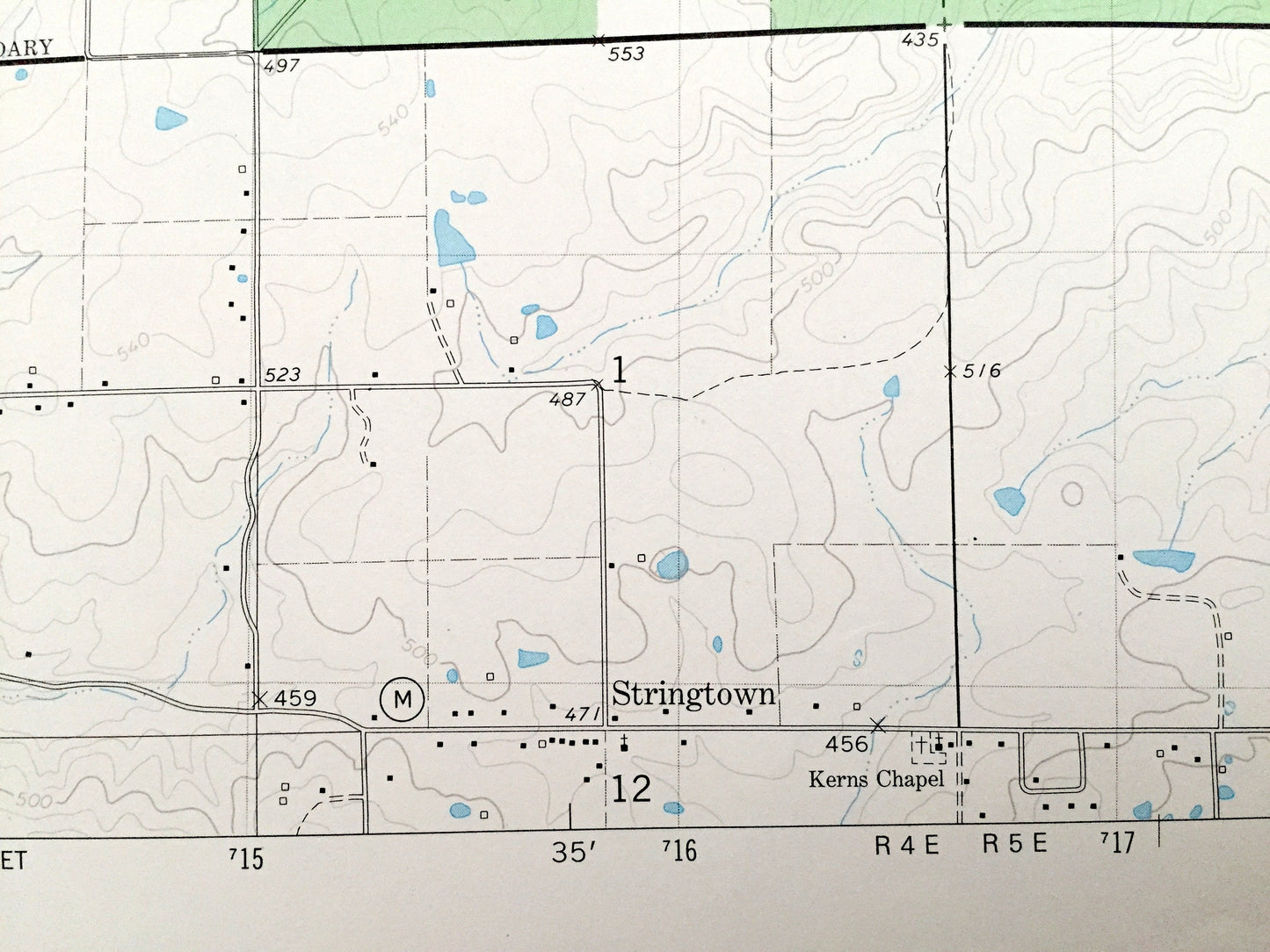
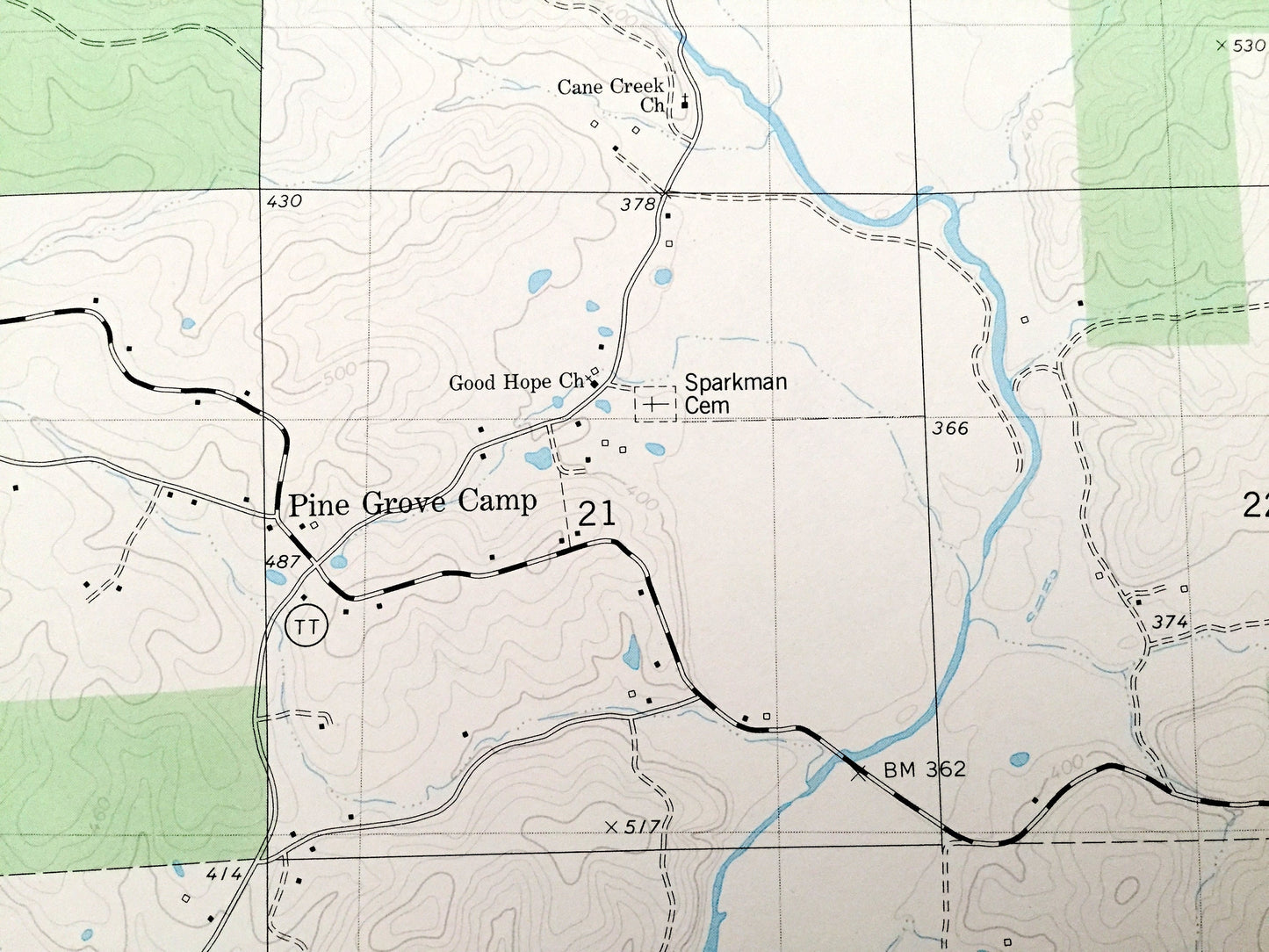
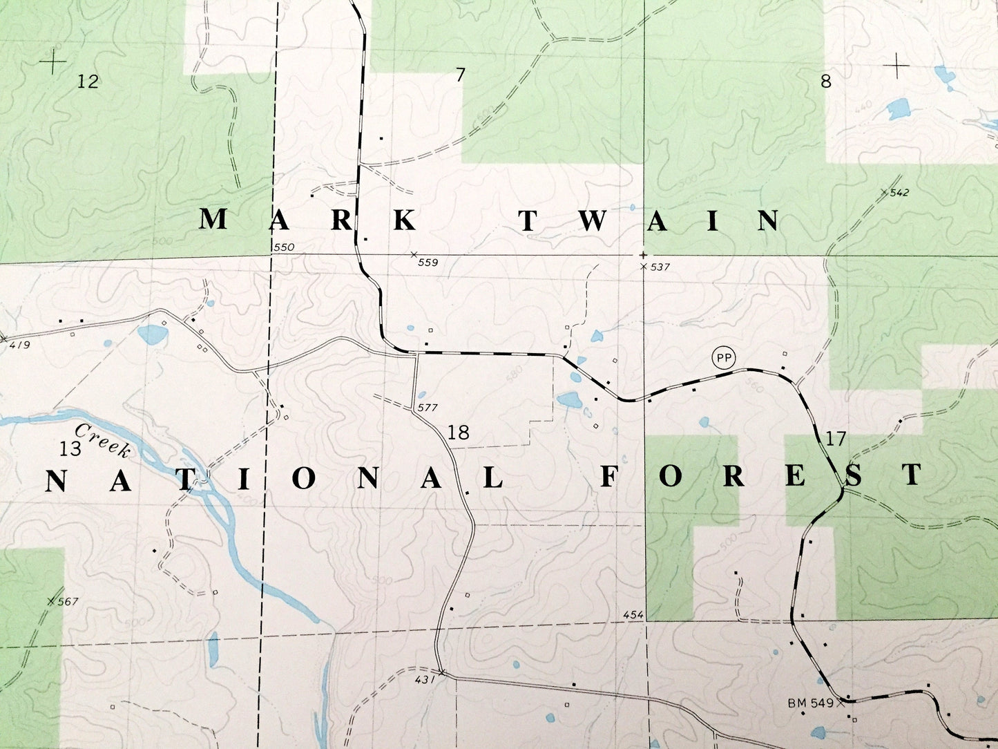
See what Missouri looked like over 40 years ago. Lots of intricate details and geological contours. Map even has little squares for every house that existed at the time. The USGS cartographers were very thorough back then!
Perfect for the historian, map-lover, the curious or just as a conversation starter. Wonderful and rare. Vintage maps such as these make great gifts.
Edition of 1980, printed 1980
Dimensions: 22" width x 27" height
----
Features
Cities & Towns: Milltown.
Points of Interest: Poplar Bluff Job Corps Conservation Center, Pine Grove Camp, Oak Ridge, Blue Hole Hollow, Grassy Hollow, Gobbler Hollow, Wet Slash Hollow, Smokey Hollow, Old Still Hollow, Everhart Hollow, Mallady Hollow, Beaver Lake, Tenmile Creek, Harmon Branch, Hurricane Creek, Beaverdam Creek, Fletcher Branch, Cane Creek, Proctor Branch, and many more hills, streams, ponds, houses, schools, railroads, churches and roads.
Condition: Very Good Vintage condition, commensurate with age. This map is in great shape for being over 40 years old.
----
We will happily adjust shipping price for multiple purchases. Maps are rolled up and shipped in sturdy mailing tubes, never folded.
Couldn't load pickup availability
Share