My Store
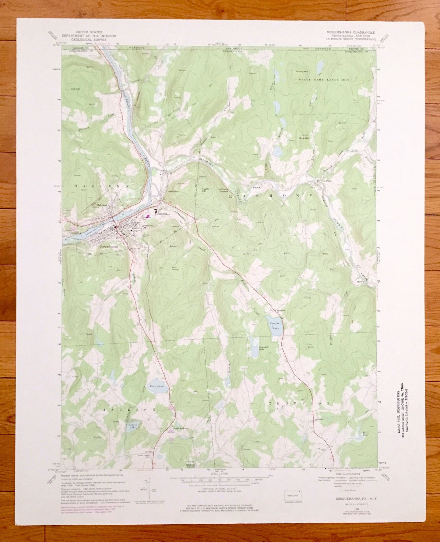
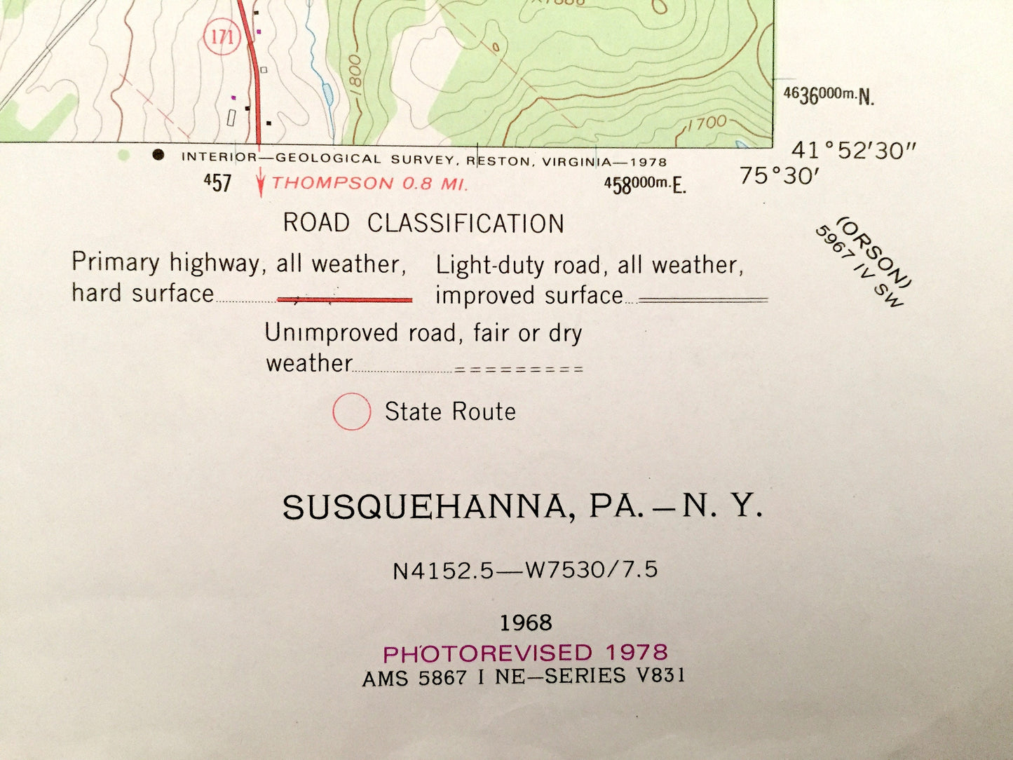
Antique Susquehanna, Pennsylvania & New York 1968 US Geological Survey Topographic Map – Lanesboro, Brandt, Stevens Point, Melrose
Antique Susquehanna, Pennsylvania & New York 1968 US Geological Survey Topographic Map – Lanesboro, Brandt, Stevens Point, Melrose
Beautiful, antique map of Susquehanna, Pennsylvania and surrounding Susquehanna County and New York area. This is an authentic 1968 edition, 1978 print from the U.S. Geological Survey and NOT a computer reproduction.
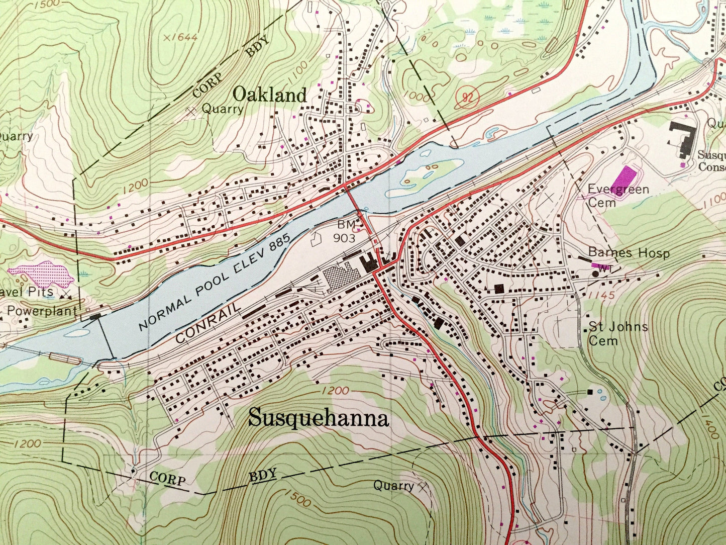
See what Pennsylvania looked like 50 years ago. Lots of intricate details and geological contours. Map even has little squares for every house that existed at the time. The USGS cartographers were very thorough back then!
Perfect for the historian, map-lover, the curious or just as a conversation starter. Wonderful and rare. Vintage maps such as these make great gifts.
Edition of 1968, printed 1978
Dimensions: 22" width x 27" height
----
Features
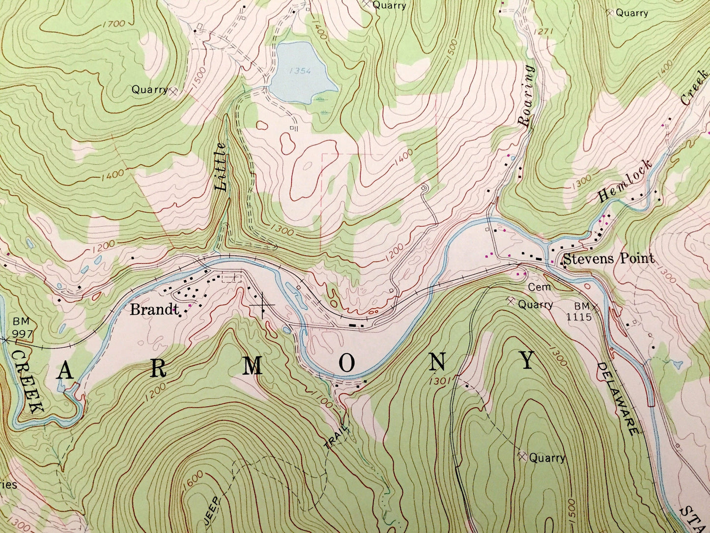
Cities & Towns: Susquehanna, Jackson, North Jackson, Raskelly Corners, Thompson, Melrose, Harmony, Lanesboro, Jefferson Junction, Brandt, Stevens Point, Sanford, Windsor, Oakland.
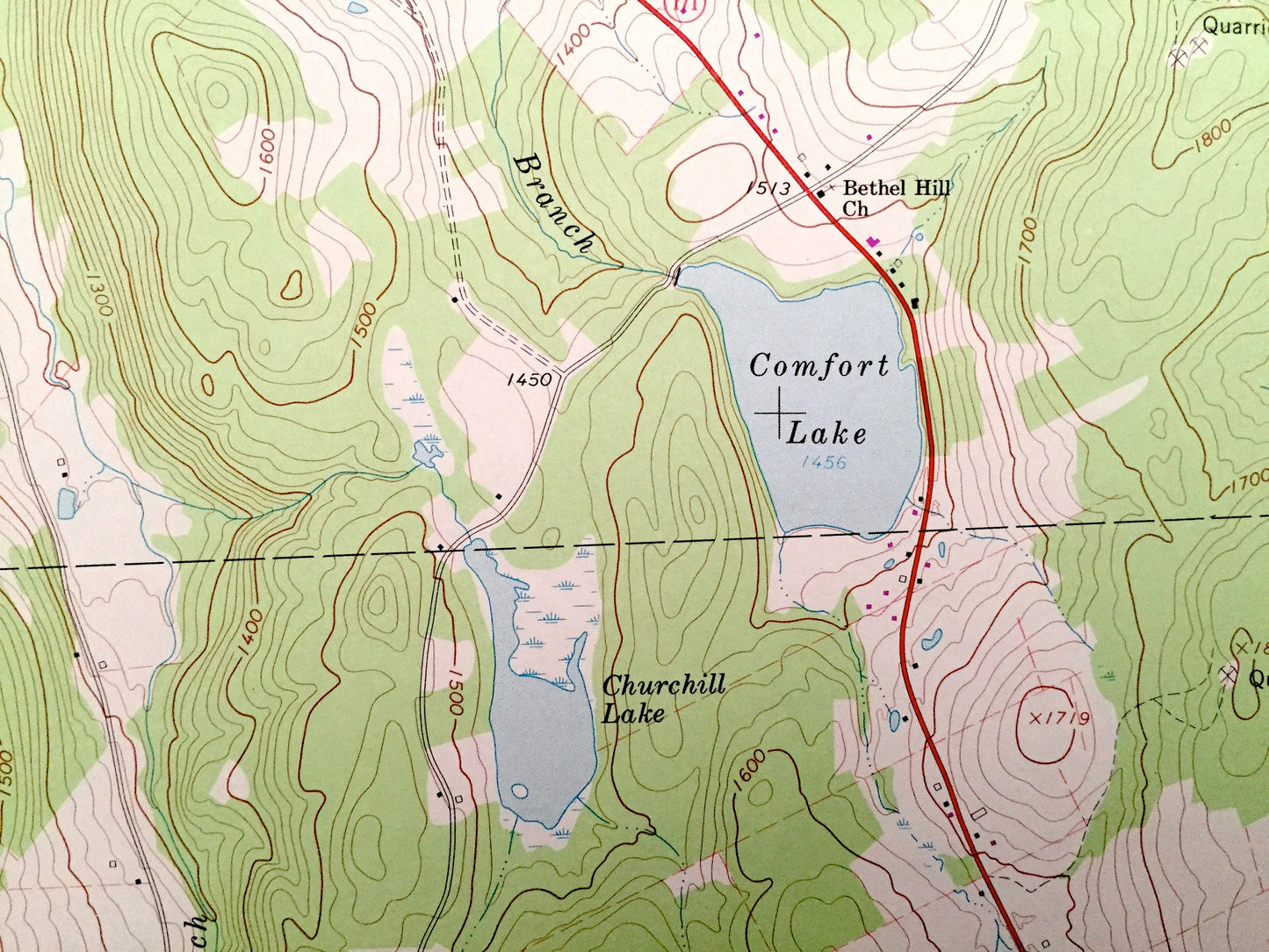
Points of Interest: Susquehanna River, Ross Pond, Foxton Lake, Churchill Lake, Comfort Lake, Weirs Pond, Starrucca Creek, Delaware and Hudson Railway, Taylor Hill, Hemlock Creek, King Hill Roaring Brook, Round Hill, State Game Lands, Oak Hill, Conrail, Bear Swamp, and many more hills, streams, ponds, houses, schools, churches and roads.
Condition: Very Good condition, commensurate with age. This map is in incredible shape for being 40 years old.
----
We will happily adjust shipping price for multiple purchases. Maps are rolled up and shipped in sturdy mailing tubes, never folded.
Couldn't load pickup availability
Share