My Store
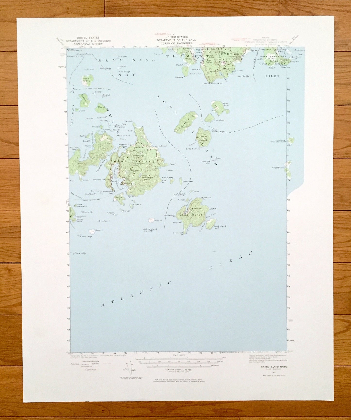
Antique Swans Island, Maine 1943 US Geological Survey Topographic Map – Tremont, Southwest Harbor, Cranberry Isles, Long Island, Hancock, ME
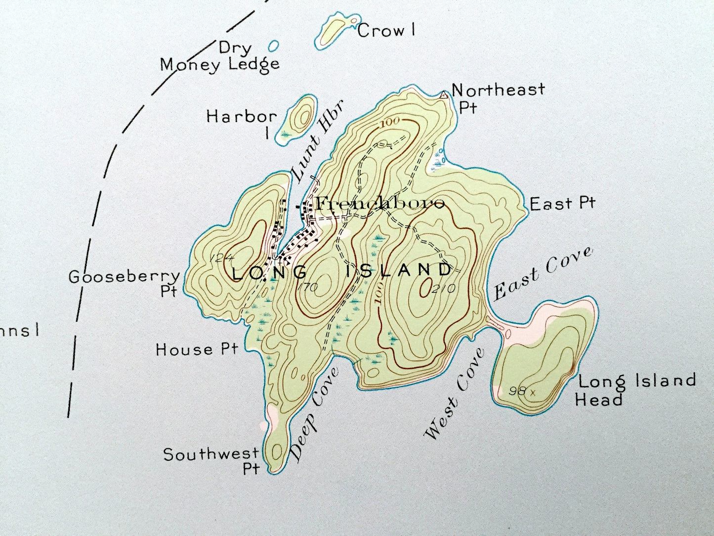
Antique Swans Island, Maine 1943 US Geological Survey Topographic Map – Tremont, Southwest Harbor, Cranberry Isles, Long Island, Hancock, ME
Beautiful, antique map of Swan Island, Tremont, Southwest Harbor, Cranberry Isles, Long Island, Maine and the surrounding islands of Hancock County. This is an authentic 1943 edition, 1974 print from the U.S. Geological Survey and NOT a computer reproduction.
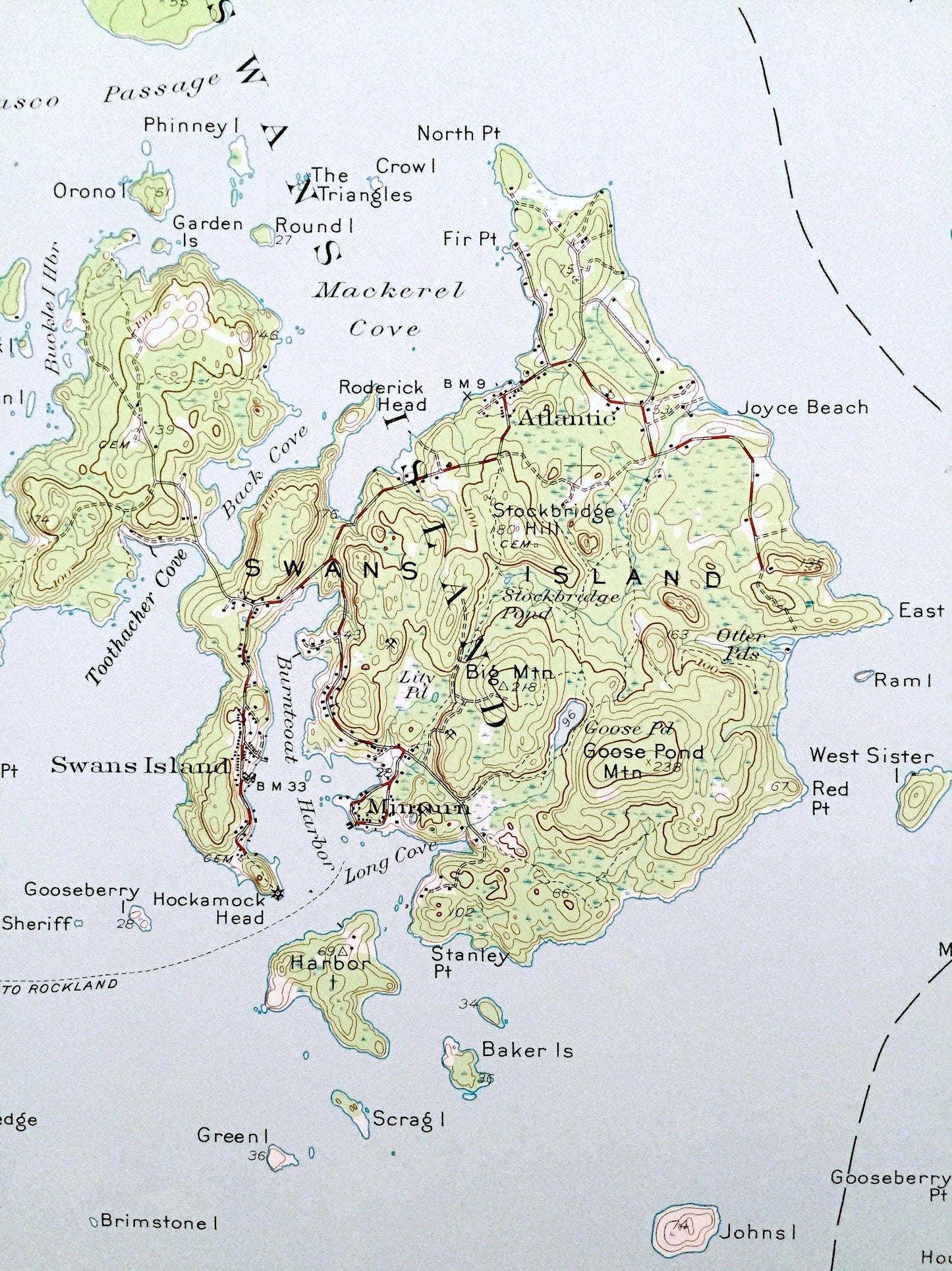
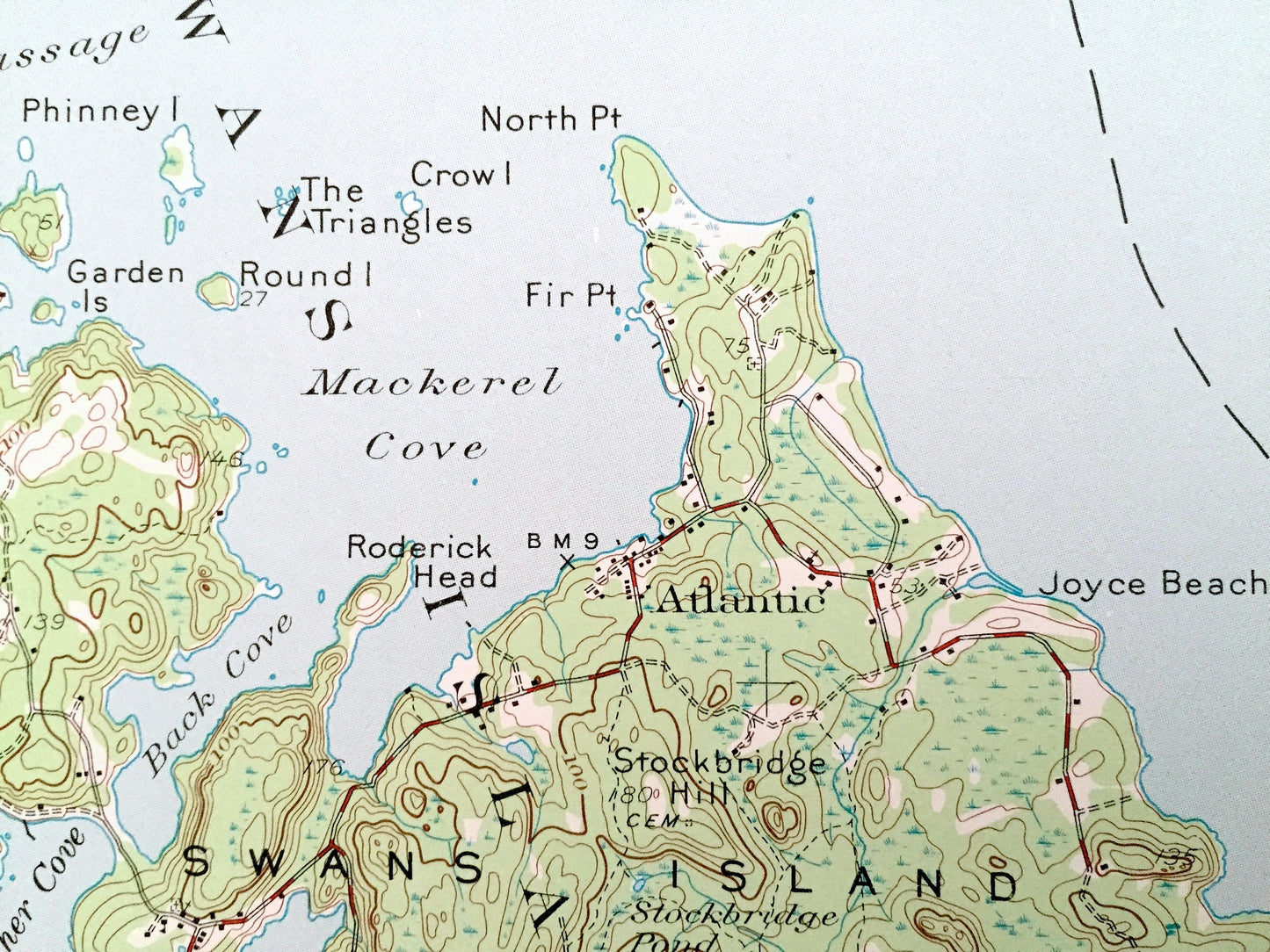
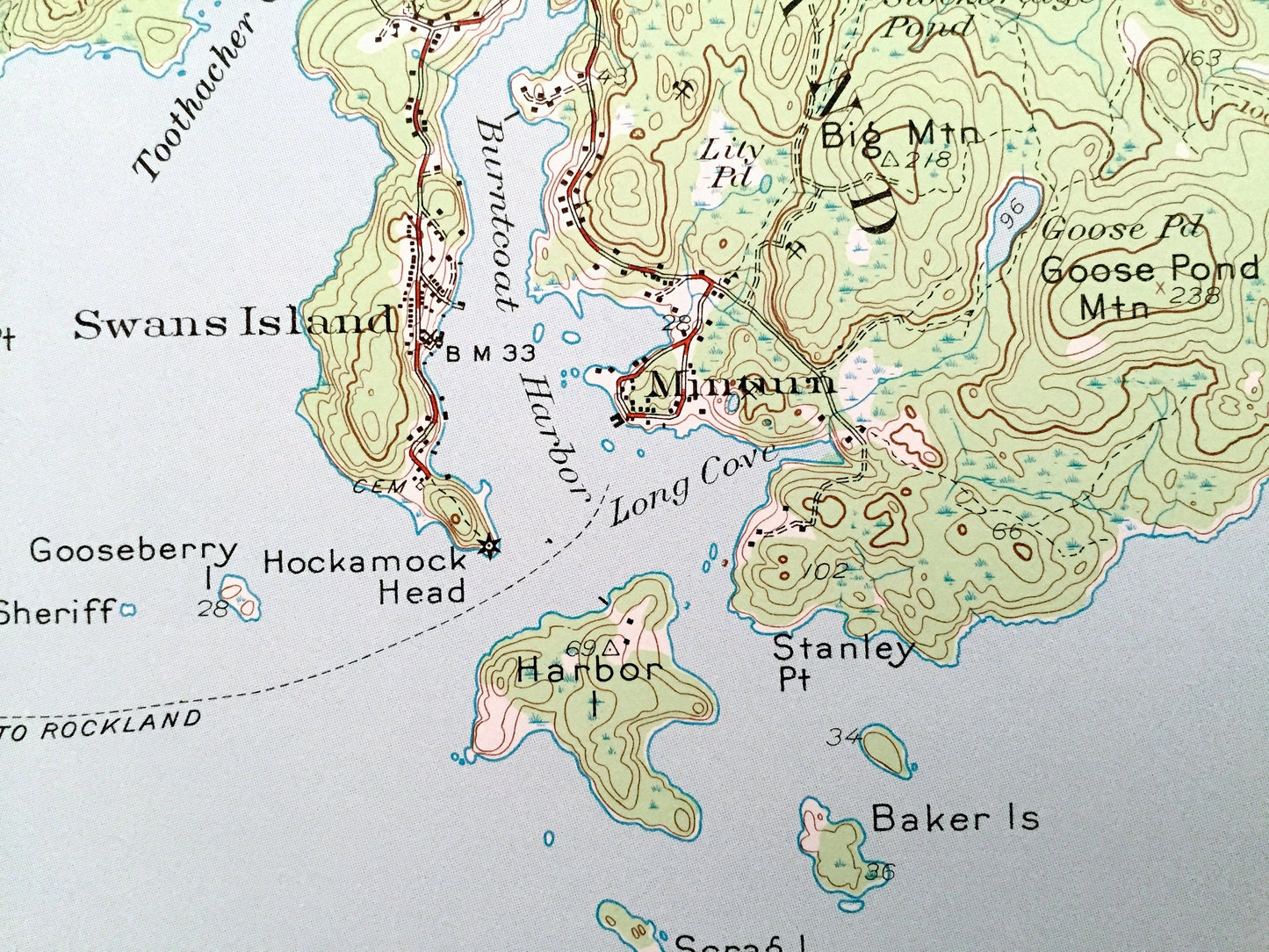
See what the Maine Coast looked like over 170 years ago. Lots of intricate details and geological contours. Map even has little squares for every house that existed at the time. The USGS cartographers were very thorough back then!
Perfect for the historian, map-lover, the curious or just as a conversation starter. Wonderful and rare. Vintage maps such as these make great gifts.
Edition of 1943, printed 1974
Dimensions: 18" width x 22" height
----
Features
Cities & Towns: Swan Island, Tremont, Southwest Harbor, Cranberry Isles, Long Island, Atlantic, Minturn, McKinley, Gotts Island, Frenchboro.
Points of Interest: Atlantic Ocean, Maine Coast, Bluehill Bay, Western Way, Burntcoat Harbor, Mackerel Cove, Casco Passage, Bass Harbor, Long Island, Lunts Harbor, Great Duck Island, Black Island, Calf Island, Toothachers Cove, Marshall Island, Baker Islands, Harbor Island, Sister Islands, Placentia Island, Lopaus Point, Bass Harbor Head, Rice Point, Red Rocks, Little Gotts Island, and lots more hills, streams, ponds, marshes, houses, islands, coves and roads.
Condition: Very Good condition, commensurate with age. This map is in incredible shape for being over 40 years old. Has light edge-wear, all of which will read as vintage character when framed.
----
We will happily adjust shipping price for multiple purchases. Maps are rolled up and shipped in sturdy mailing tubes, never folded.
Couldn't load pickup availability
Share