My Store
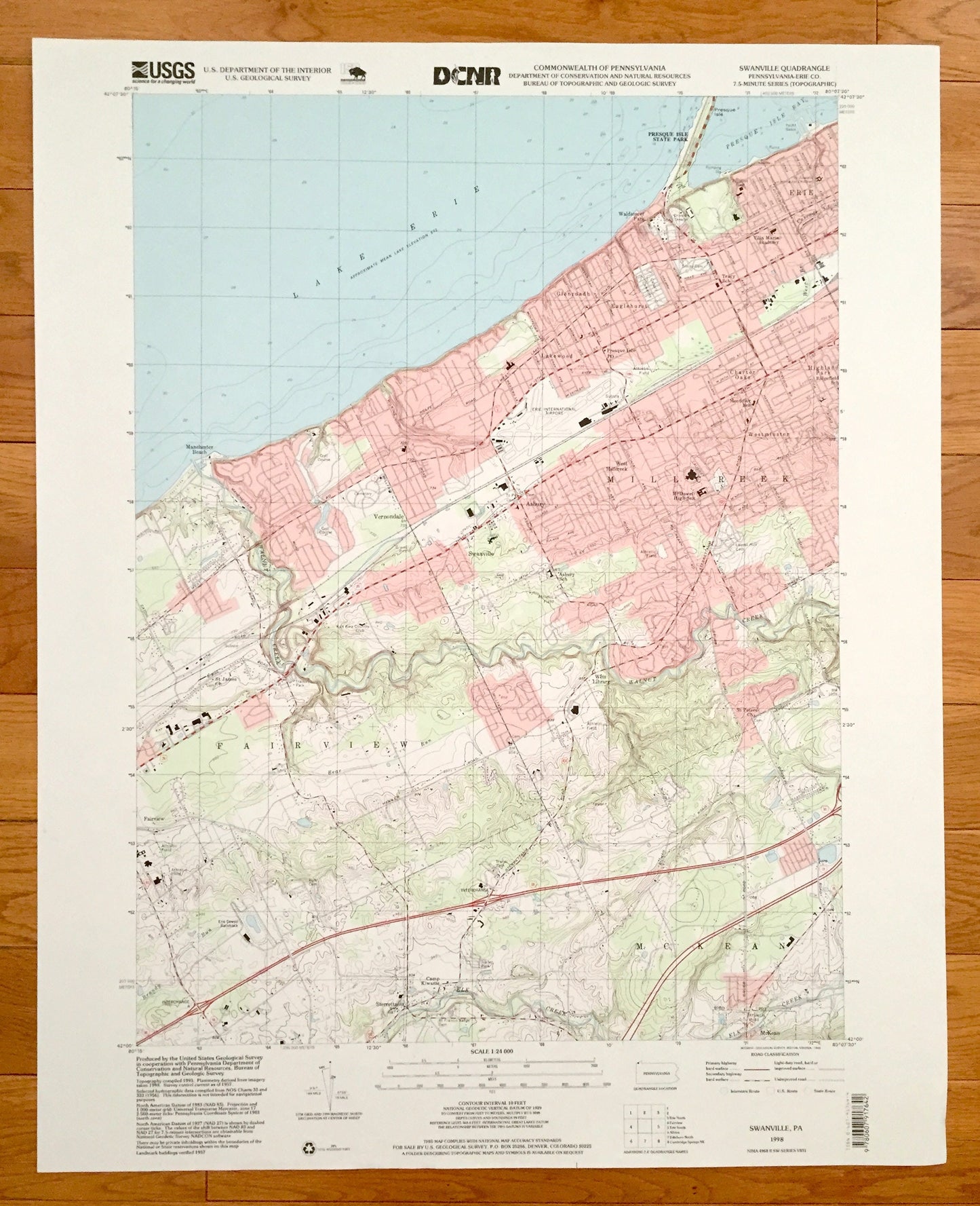
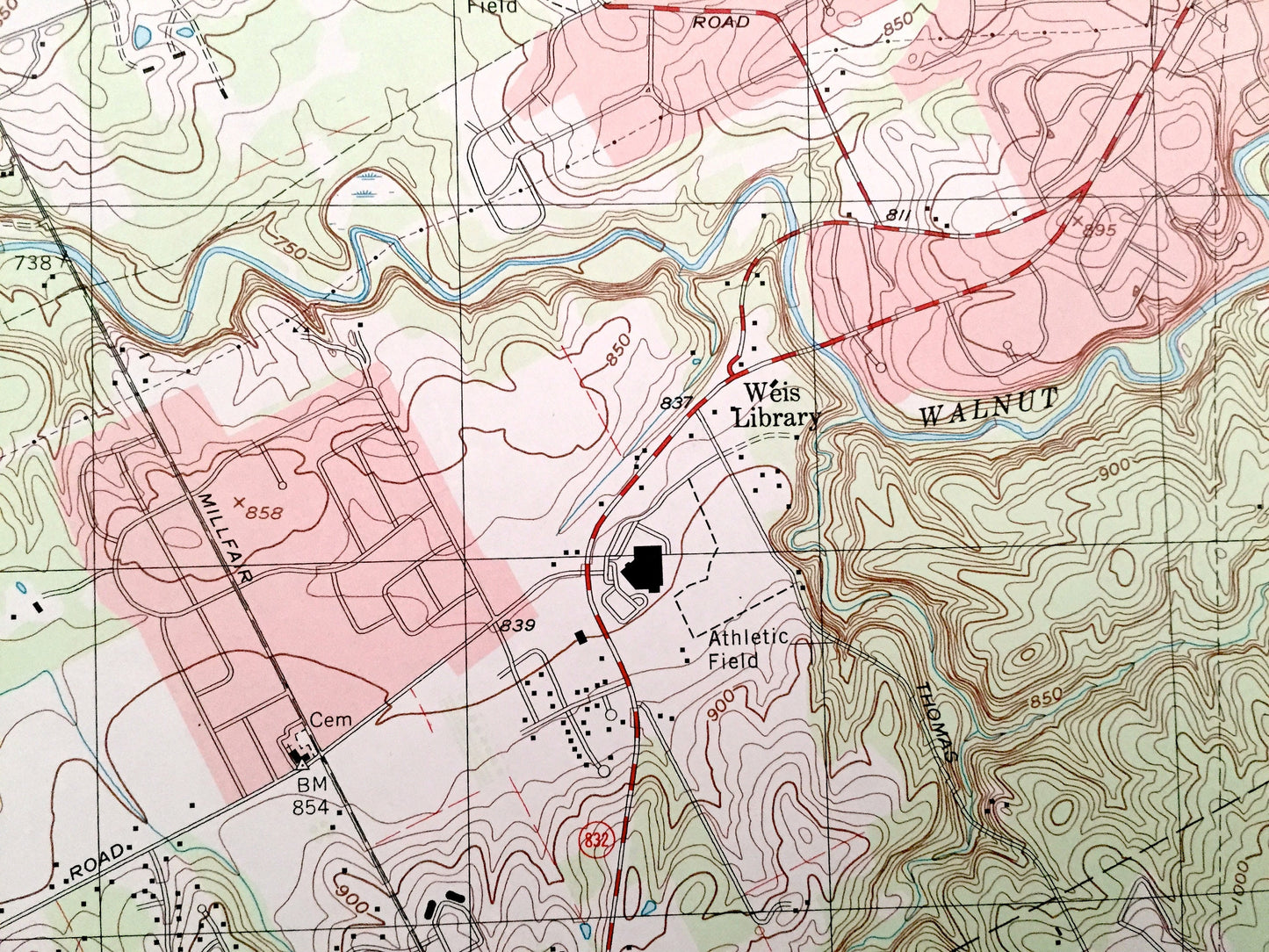
Antique Swanville, Pennsylvania 1998 US Geological Survey Topographic Map – Erie County, Vernondale, Sterrettania, Fairview, Millcreek, PA
Antique Swanville, Pennsylvania 1998 US Geological Survey Topographic Map – Erie County, Vernondale, Sterrettania, Fairview, Millcreek, PA
Beautiful, antique map of Swanville, Pennsylvania and surrounding Erie County area. This is an authentic 1998 print from the U.S. Geological Survey and NOT a computer reproduction.
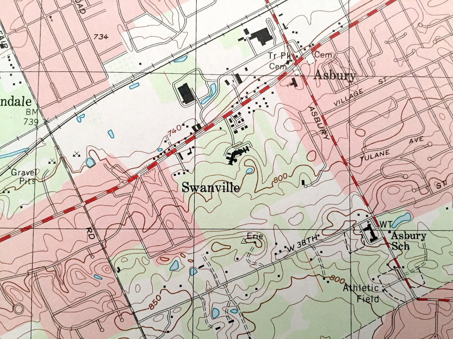
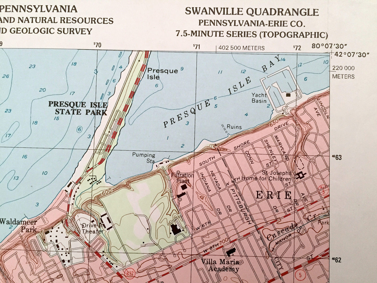
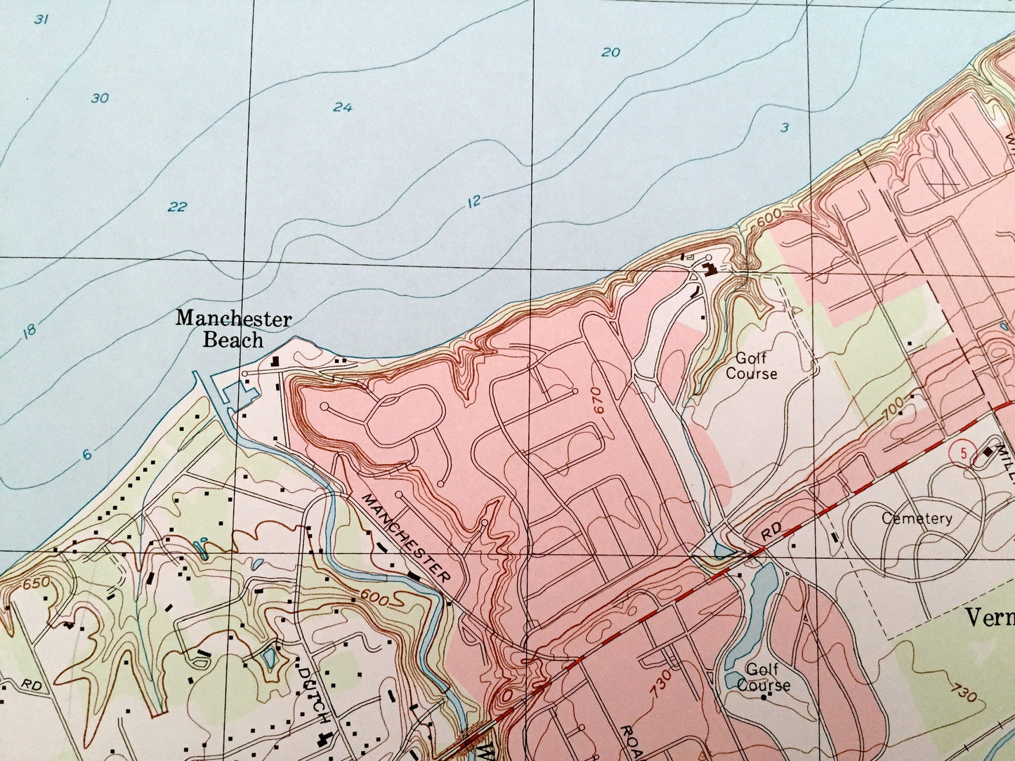
See what Pennsylvania looked like over 20 years ago. Lots of intricate details and geological contours. Map even has little squares for every house that existed at the time. The USGS cartographers were very thorough back then!
Perfect for the historian, map-lover, the curious or just as a conversation starter. Wonderful and rare. Vintage maps such as these make great gifts.
Edition of 1998, printed 1998
Dimensions: 22" width x 27" height
----
Features
Cities & Towns: Swanville, Sterrettania, McKean, Fairview, Weis Library, Vernondale, Asbury, Millcreek, Westminster, Charter Oaks, Highland Park, West Millcreek, Manchester Beach, Lakewood, Eaglehurst, Glenruadh, Waldameer Park, Erie.
Points of Interest: Lake Erie, Presque Isle State Park, Presque Isle Bay, Drive-in Theater, Erie International Airport, Walnut Creek, Kah Kwa Country Club, Erie Downs Racetrack, Elk Creek, Camp Kiwanis, and many more hills, streams, ponds, houses, schools, churches and roads.
Condition: Very Good Vintage condition, commensurate with age. This map is in great shape for being over 20 years old.
----
We will happily adjust shipping price for multiple purchases. Maps are rolled up and shipped in sturdy mailing tubes, never folded.
Couldn't load pickup availability
Share