My Store
Antique Tomales Bay, California 1954 US Geological Survey Topographic Map – Marin County, Inverness Ridge, Point Reyes National Seashore CA
Antique Tomales Bay, California 1954 US Geological Survey Topographic Map – Marin County, Inverness Ridge, Point Reyes National Seashore CA
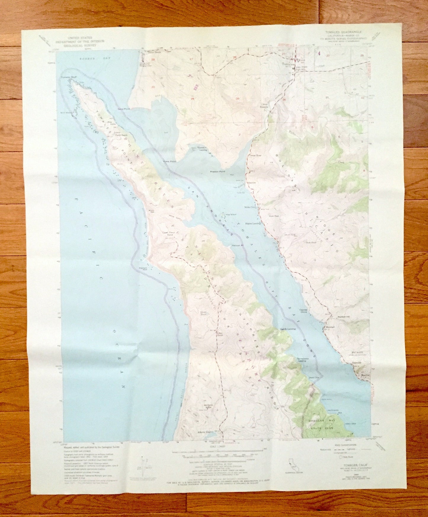
Beautiful, antique map of Tomales, California and surrounding Marin County area on the California Coast. This is an authentic 1954 edition, 1972 print from the U.S. Geological Survey and NOT a computer reproduction.
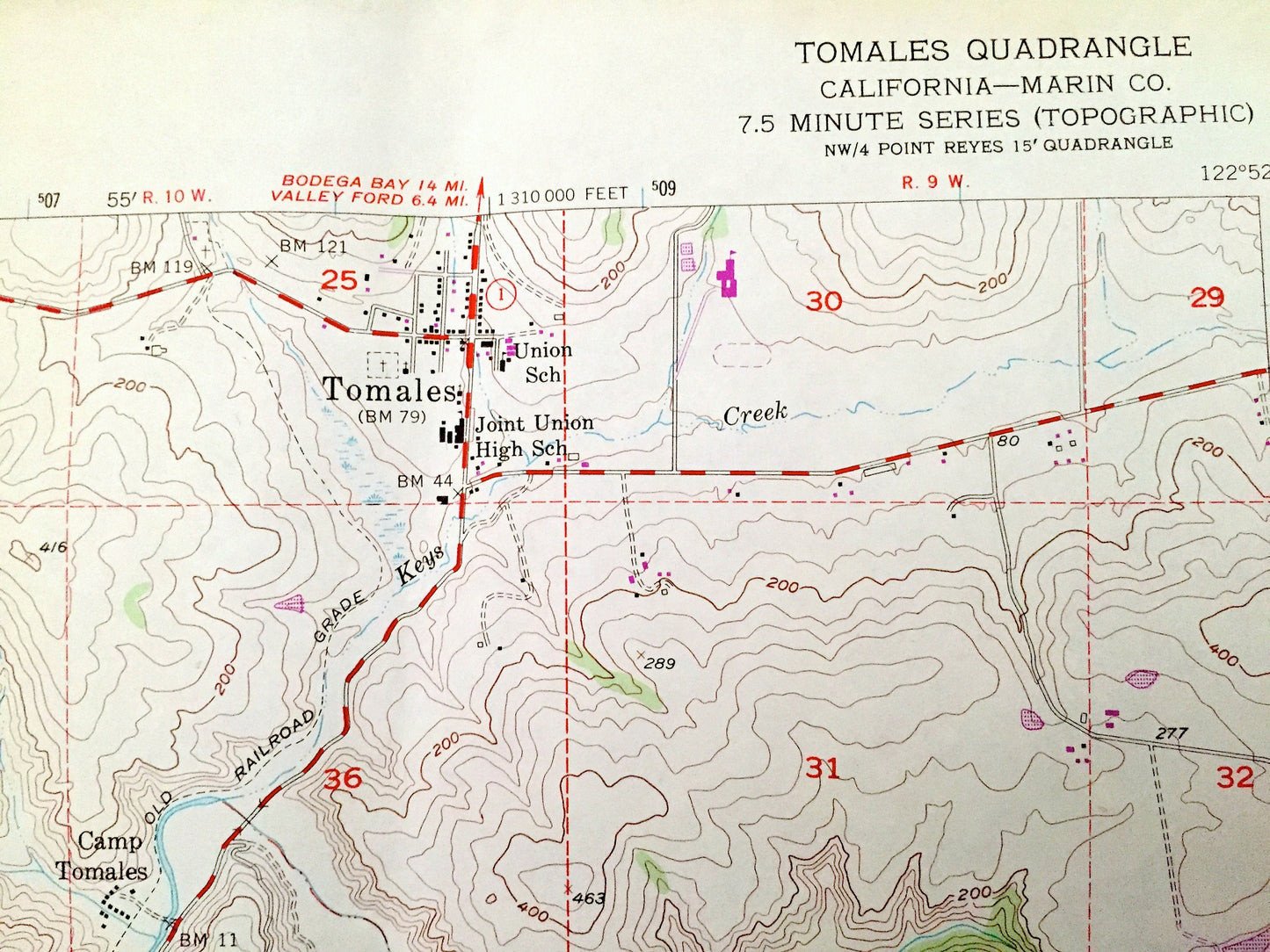
See what California looked like over 65 years ago. Lots of intricate details and geological contours. Map even has little squares for every house that existed at the time. The USGS cartographers were very thorough back then!
Perfect for the historian, map-lover, the curious or just as a conversation starter. Wonderful and rare. Vintage maps such as these make great gifts.
Edition of 1954, printed 1972
Dimensions: 22" width x 27" height
----
Features
Cities & Towns: Tomales, Camp Tomales, Dillon Beach, Nicks Cove, Blakes Landing, Cypress Grove, Marshall, Reynolds, Marconi, Lairds Landing, Sacramento Landing, Ocean Roar.
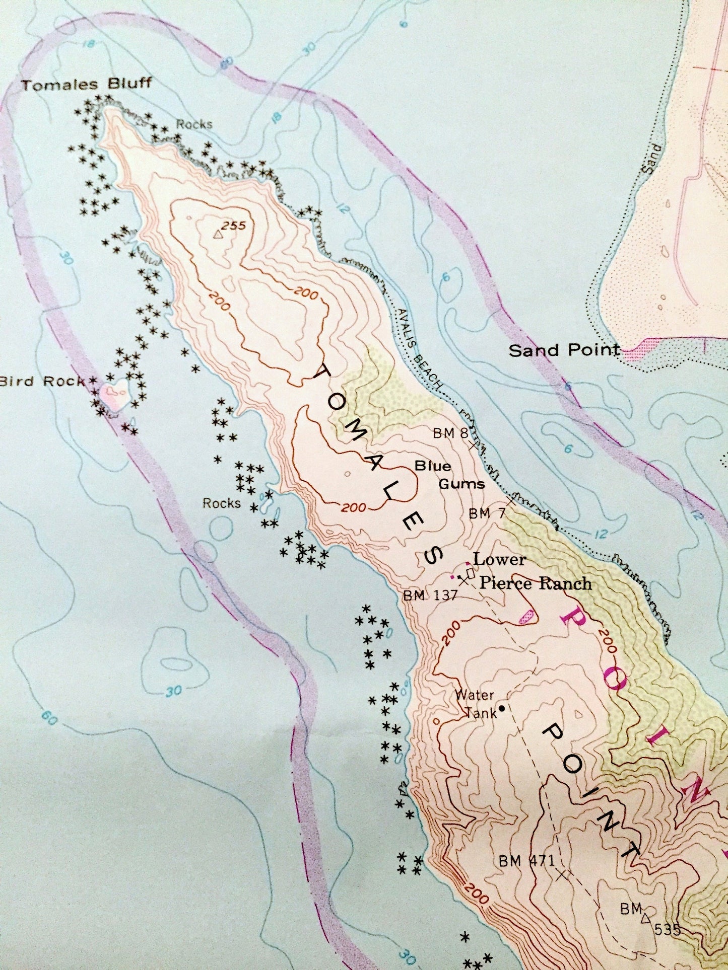
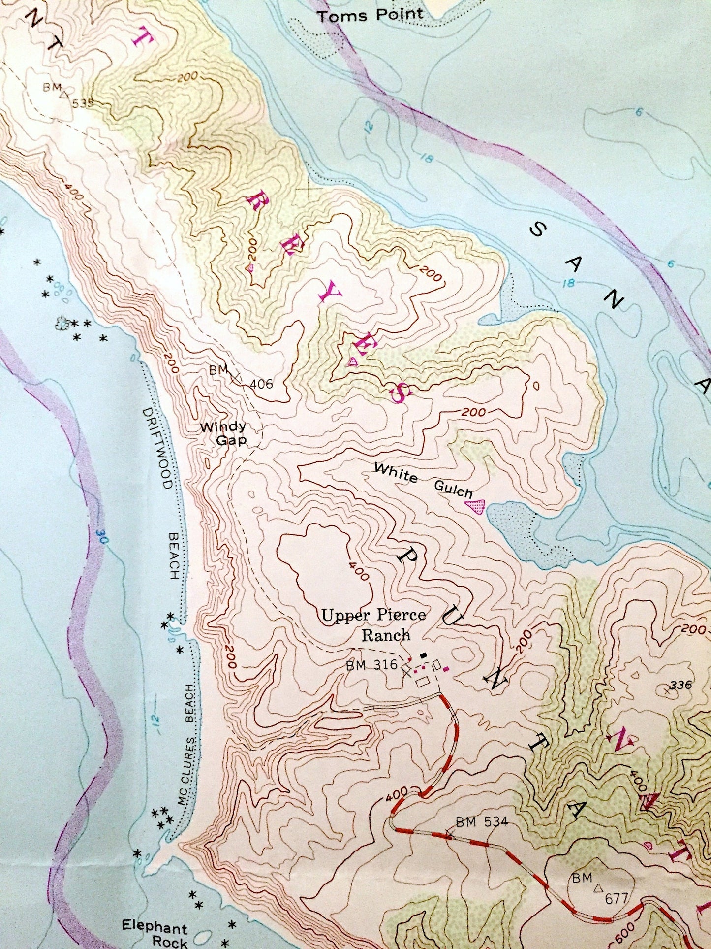
Points of Interest: Marin County, Pacific Ocean, Point Reyes National Seashore, Tomales Bay, Inverness Ridge, Keys Creek, Bodega Bay, Tomales Bay State Park, Elephant Rock, Point Reyes Beach, Bird Rock, Tomales Bluff, Sand Point, Preston Point and many more roads, houses, ponds, and hills.
Condition: Very Good Vintage condition, commensurate with age. This map is in great shape for being over 45 years old. Has light wear and folds as-issued, but these will flatten easily and all will read as vintage character when framed.
----
We will happily adjust shipping price for multiple purchases. Maps are rolled up and shipped in sturdy mailing tubes, never folded.
Couldn't load pickup availability
Share