My Store
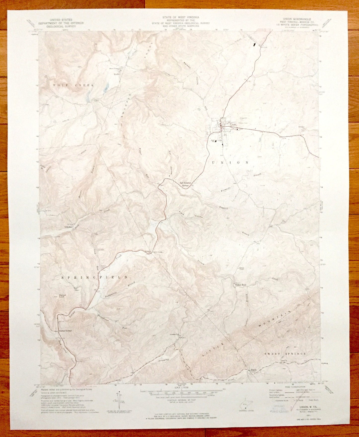
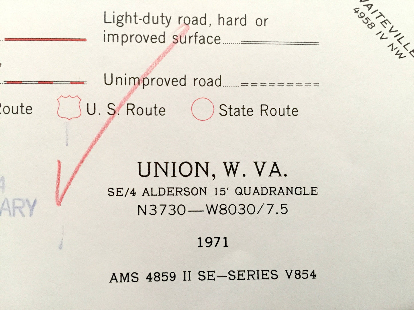
Antique Union, West Virginia 1971 US Geological Survey Topographic Map – Wolf Creek, Springfield, Raines Corner, Sweet Springs, Willow Bend
Antique Union, West Virginia 1971 US Geological Survey Topographic Map – Wolf Creek, Springfield, Raines Corner, Sweet Springs, Willow Bend
Beautiful, antique map of Union, Springfield, Raines Corner, Lillydale, Wolf Creek, Knobs and Sweet Springs, West Virginia. This is an authentic 1971 print from the U.S. Geological Survey and NOT a computer reproduction.
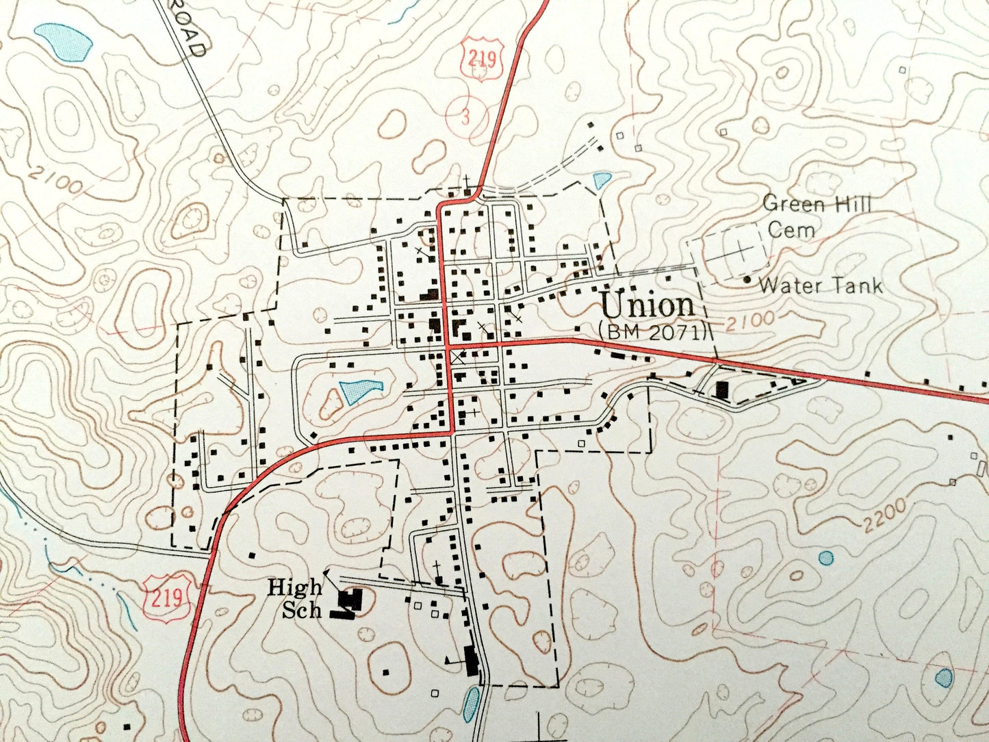
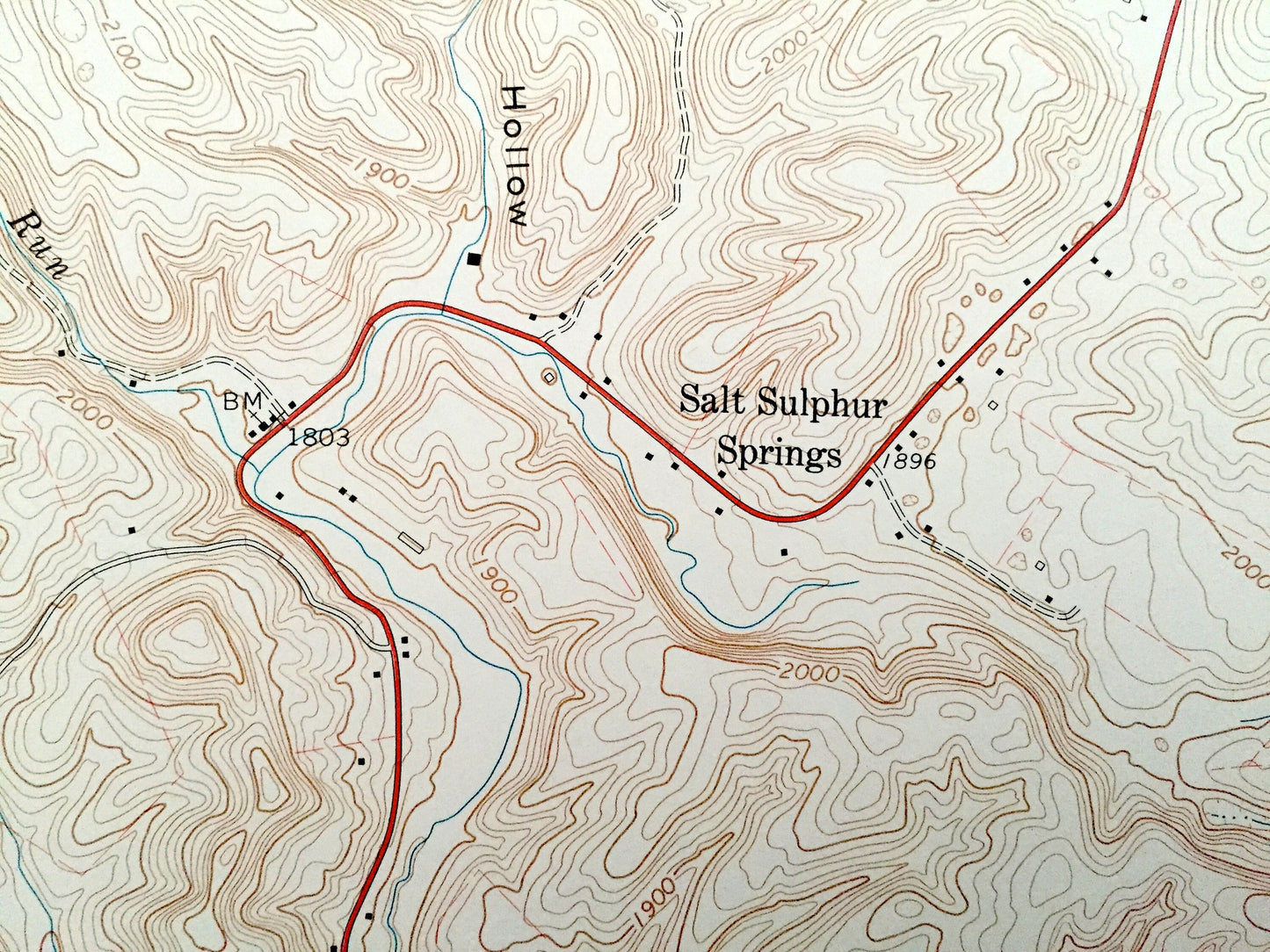
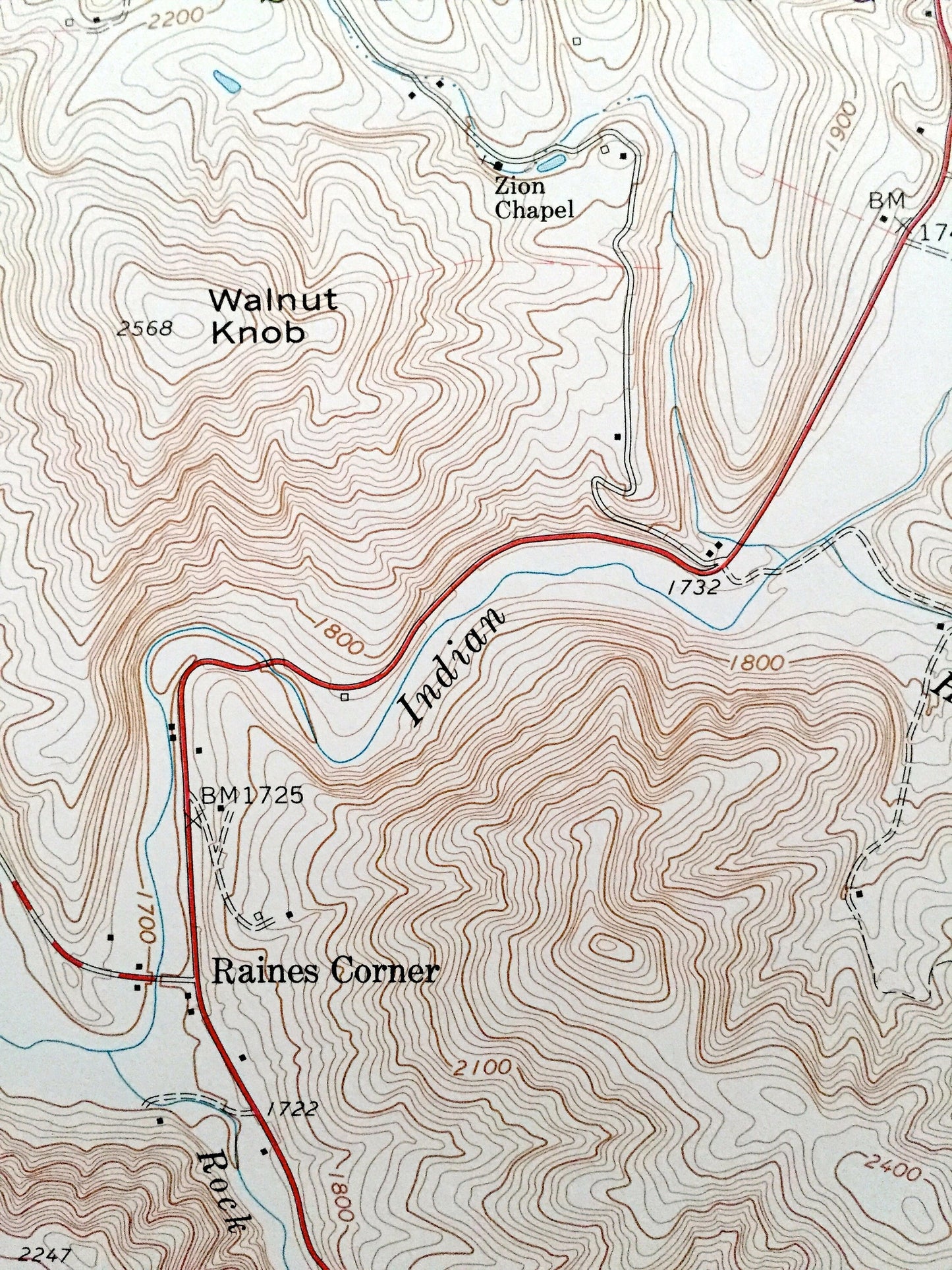
See what Monroe County of West Virginia looked like over 45 years ago. Lots of intricate details and geological contours. Map even has little squares for every house that existed at the time. The USGS cartographers were very thorough back then!
Perfect for the historian, map-lover, the curious or just as a conversation starter. Wonderful and rare. Vintage maps such as this make great gifts.
Edition of 1971, printed 1971
Dimensions: 23" width x 27" height
----
Features
Cities & Towns: Union, Wolf Creek, Springfield, Raines Corner, Sweet Springs, Willow Bend, Knobs, Salt Sulpher Spings, Zenith, Lillydale.
Points of Interest: Swoopes Knobs, Rock Camp Creek, Possumtrot Branch, Dropping Lick Church, Little Mountain, Valley Church, Union High School, and many other roads, creeks, churches and houses.
Condition: Good condition, commensurate with age. This map is in incredible shape for being over 45 years old.
----
We will happily adjust shipping price for multiple purchases. Maps are rolled up and shipped in sturdy mailing tubes, never folded.
Couldn't load pickup availability
Share