My Store
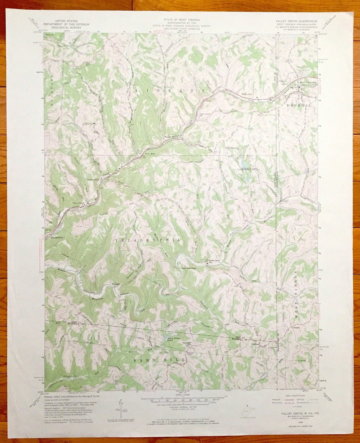
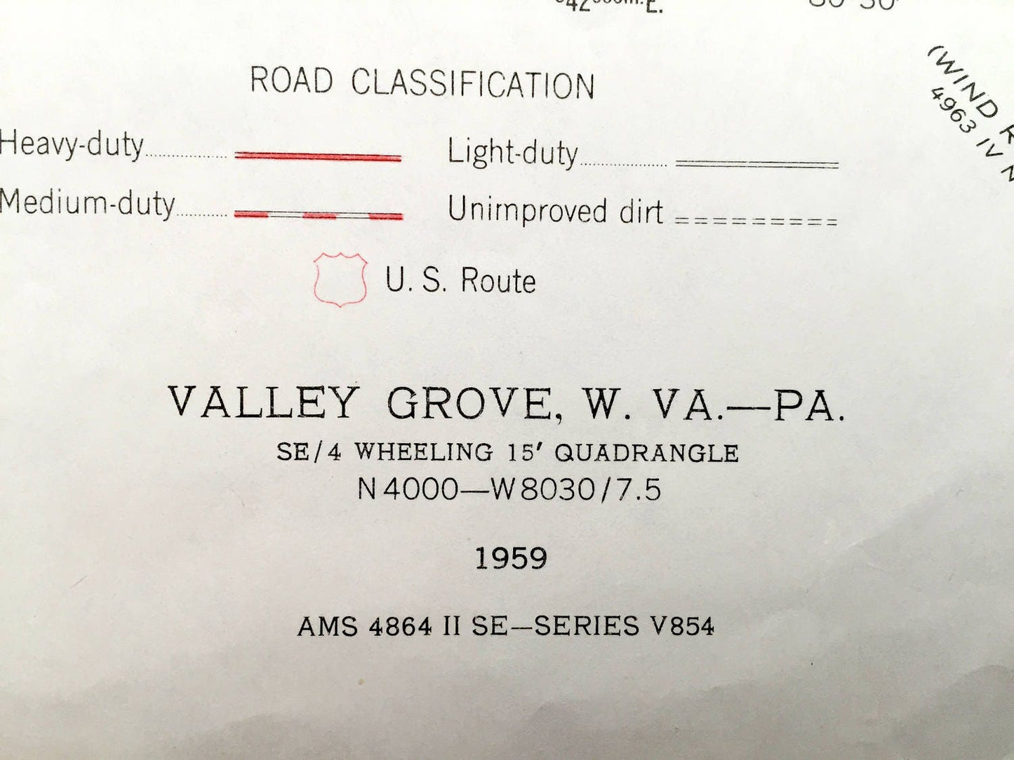
Antique Valley Grove, West Virginia & Donegal, Pennsylvania 1959 US Geological Survey Topographic Map – Liberty, Triadelphia, West Finley WV
Antique Valley Grove, West Virginia & Donegal, Pennsylvania 1959 US Geological Survey Topographic Map – Liberty, Triadelphia, West Finley WV
Beautiful, antique map of Valley Grove, Sand Hill, Richland, Liberty, Point Mills, Triadelphia, West Virginia and West Finley and Donegal, Pennsylvania. This is an authentic 1959 print from the U.S. Geological Survey and NOT a computer reproduction.
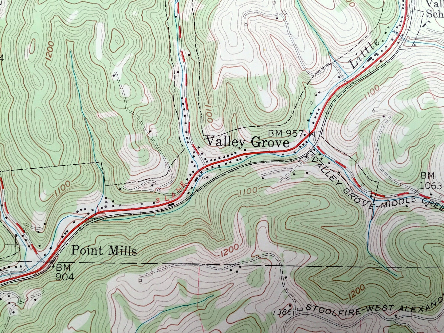
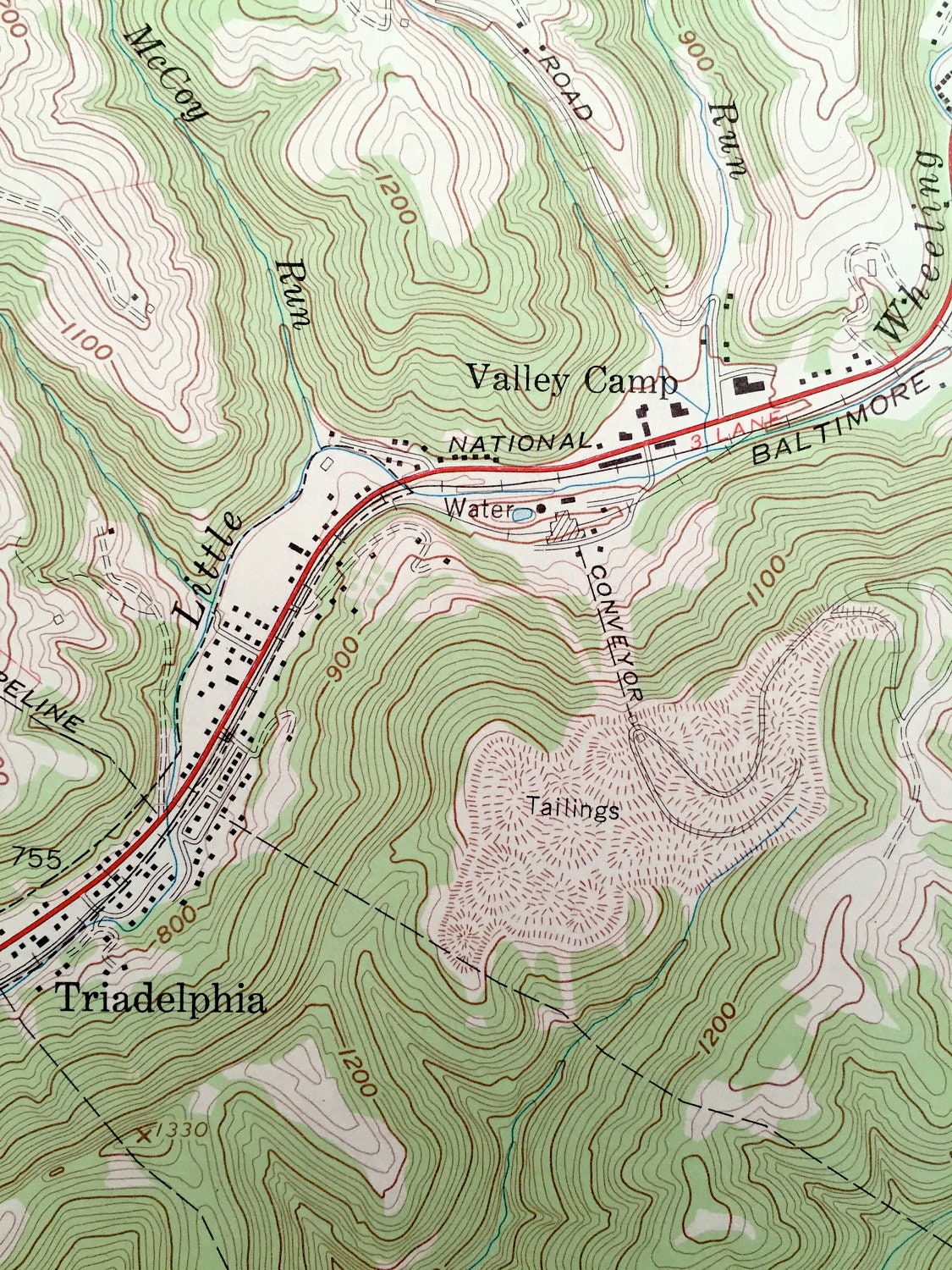
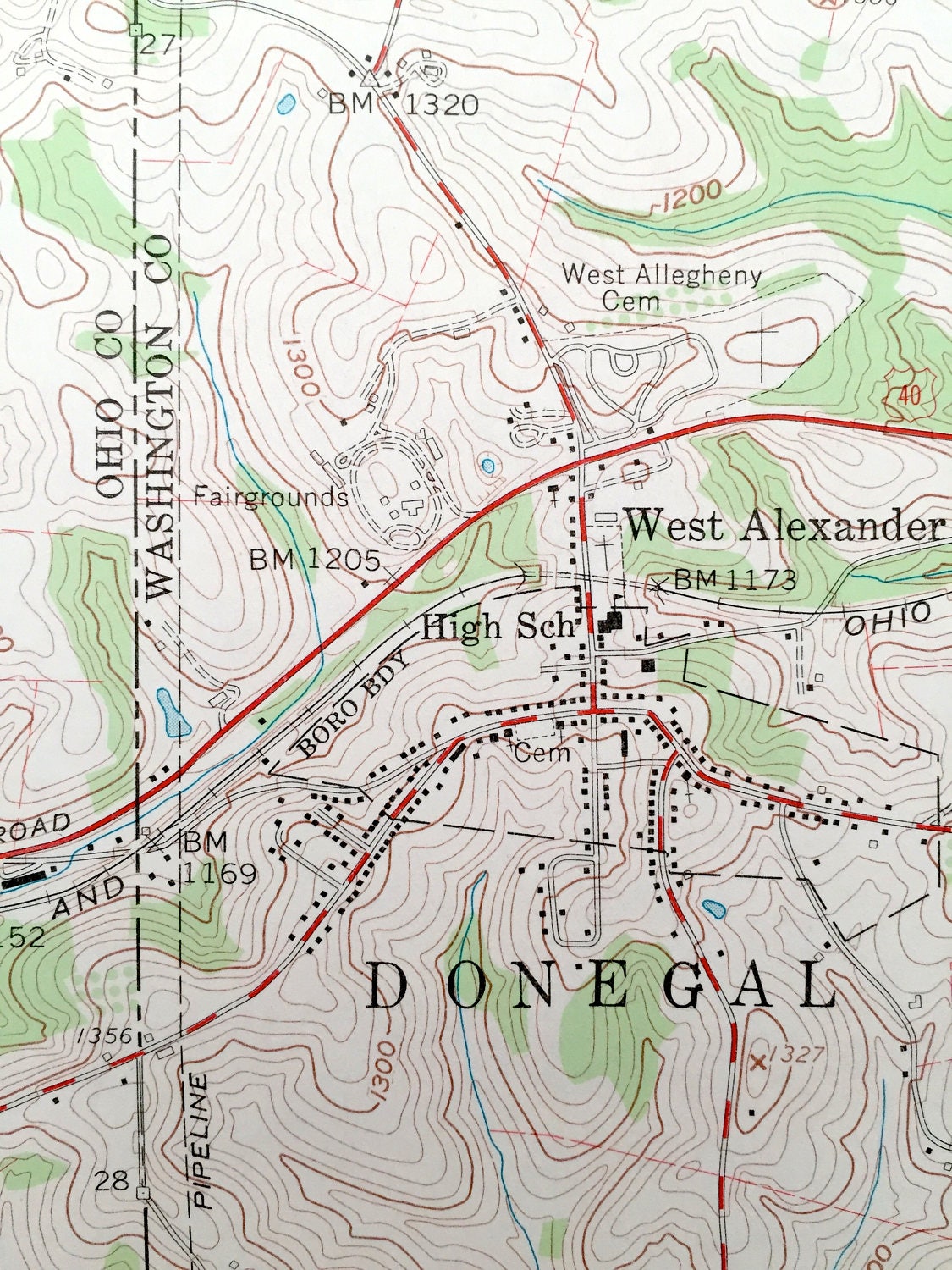
See what Marshall and Ohio Counties of West Virginia and Washington County of Pennsylvania looked like almost 60 years ago. Lots of intricate details and geological contours. Map even has little squares for every house that existed at the time. The USGS cartographers were very thorough back then!
Perfect for the historian, map-lover, the curious or just as a conversation starter. Wonderful and rare. Vintage maps such as these make great gifts.
Edition of 1959, printed 1959
Dimensions: 22" width x 27" height
----
Features
Cities & Towns: WEST VIRGINIA: Richland, Liberty, Valley Grove, Point Mills, Mount Echo, Roneys Point, Valley camp, Triadelphia, Sand Hill, Dallas.
PENNSYLVANIA: Donegal, West Alexander, West Finley, Beham.
Points of Interest: Green Valley Lakes, Gillespie Run, Middle Creek School, Bear Roack Lakes State Recreation Area, Valley Grove School, West Alexander High School, Camp Giscowhego, and lots more hills, streams, ponds, schools, houses, and roads.
Condition: Very Good condition, commensurate with age. This map is in incredible shape for being almost 60 years old.
----
We will happily adjust shipping price for multiple purchases. Maps are rolled up and shipped in sturdy mailing tubes, never folded.
Couldn't load pickup availability
Share