My Store
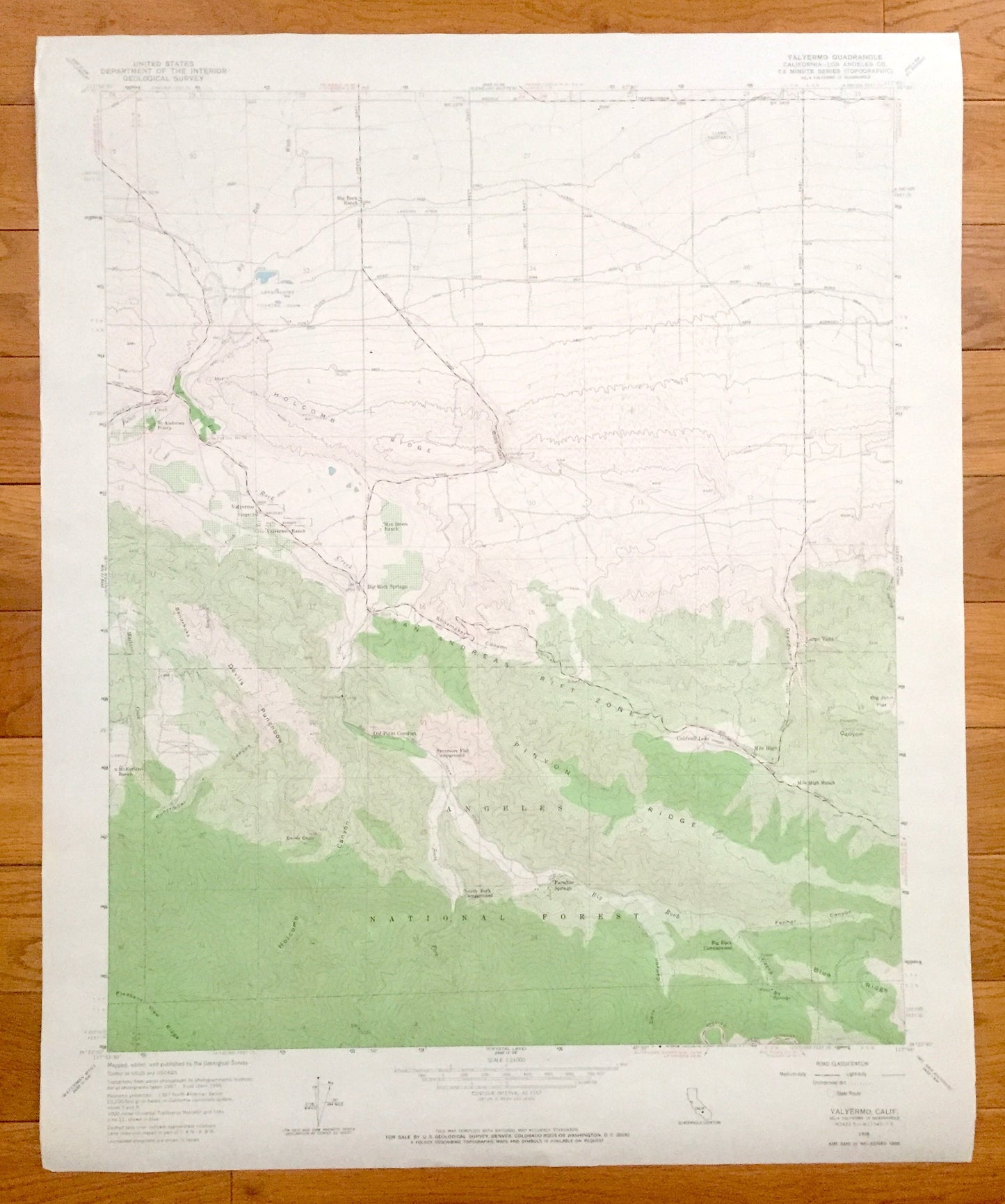
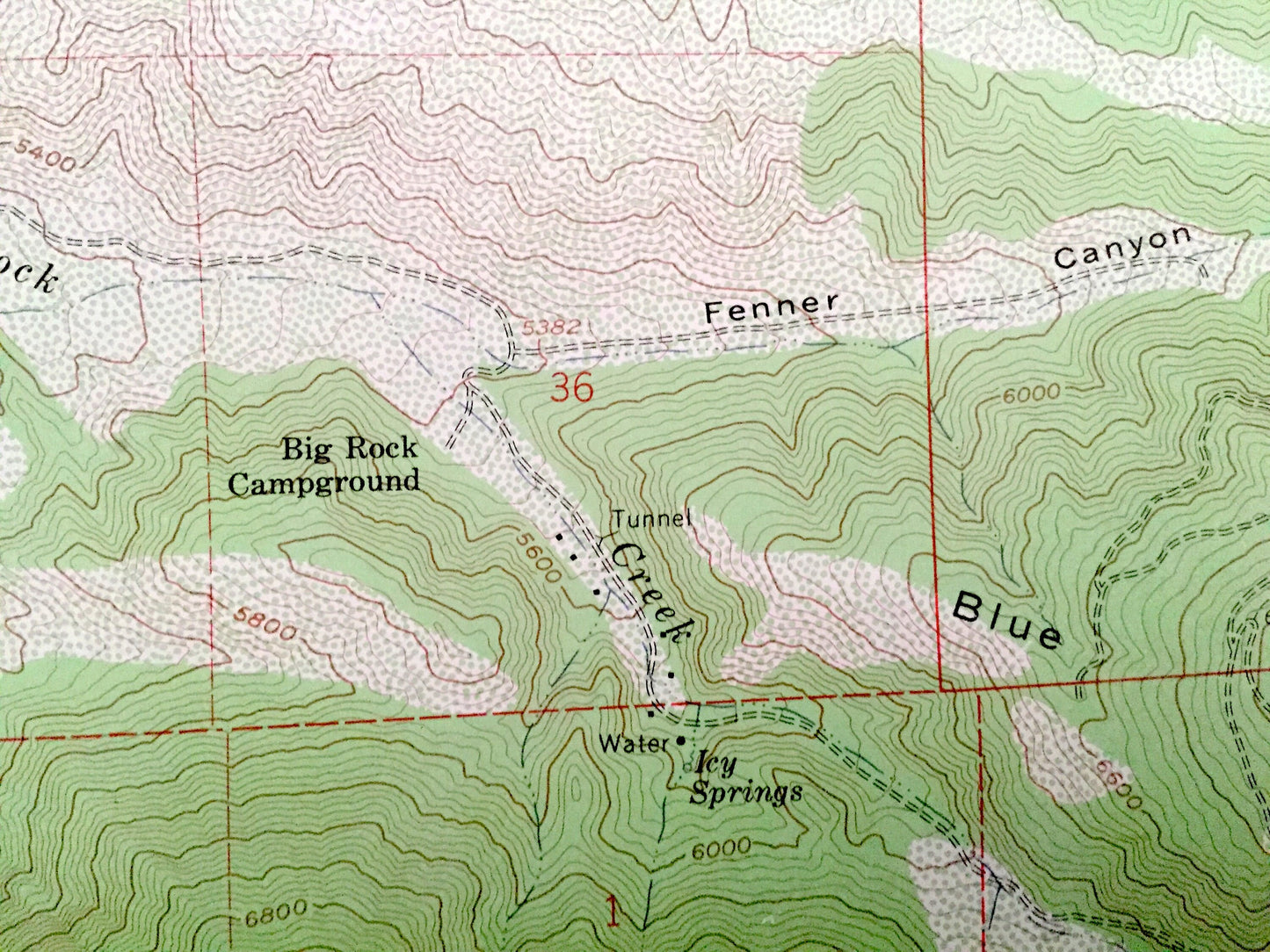
Antique Valyermo, California 1958 US Geological Survey Topographic Map – Los Angeles County, Paradise Springs, Big Rock, Largo Vista, CA
Antique Valyermo, California 1958 US Geological Survey Topographic Map – Los Angeles County, Paradise Springs, Big Rock, Largo Vista, CA
Beautiful, antique map of Valyermo, California and surrounding Los Angeles County area. This is an authentic 1958 print from the U.S. Geological Survey and NOT a computer reproduction.
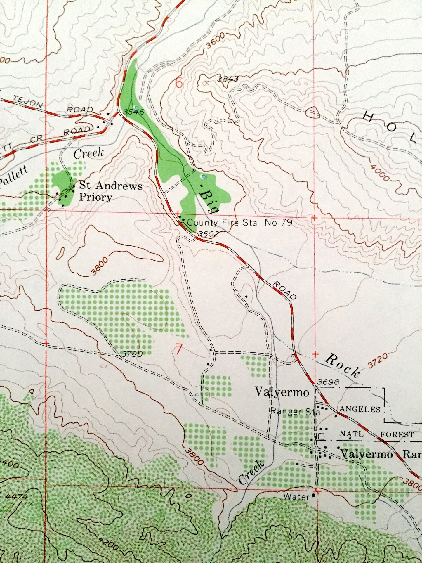
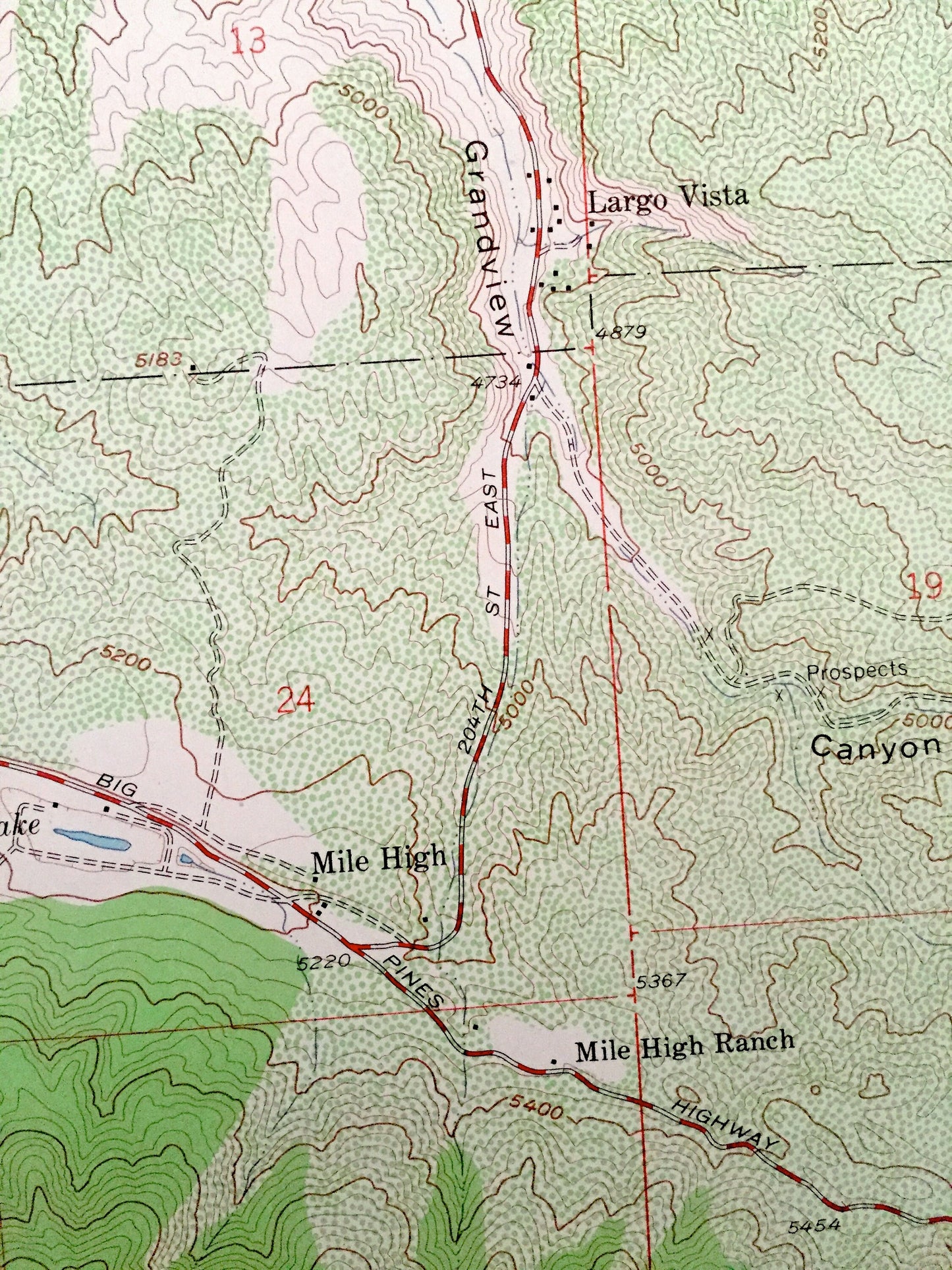
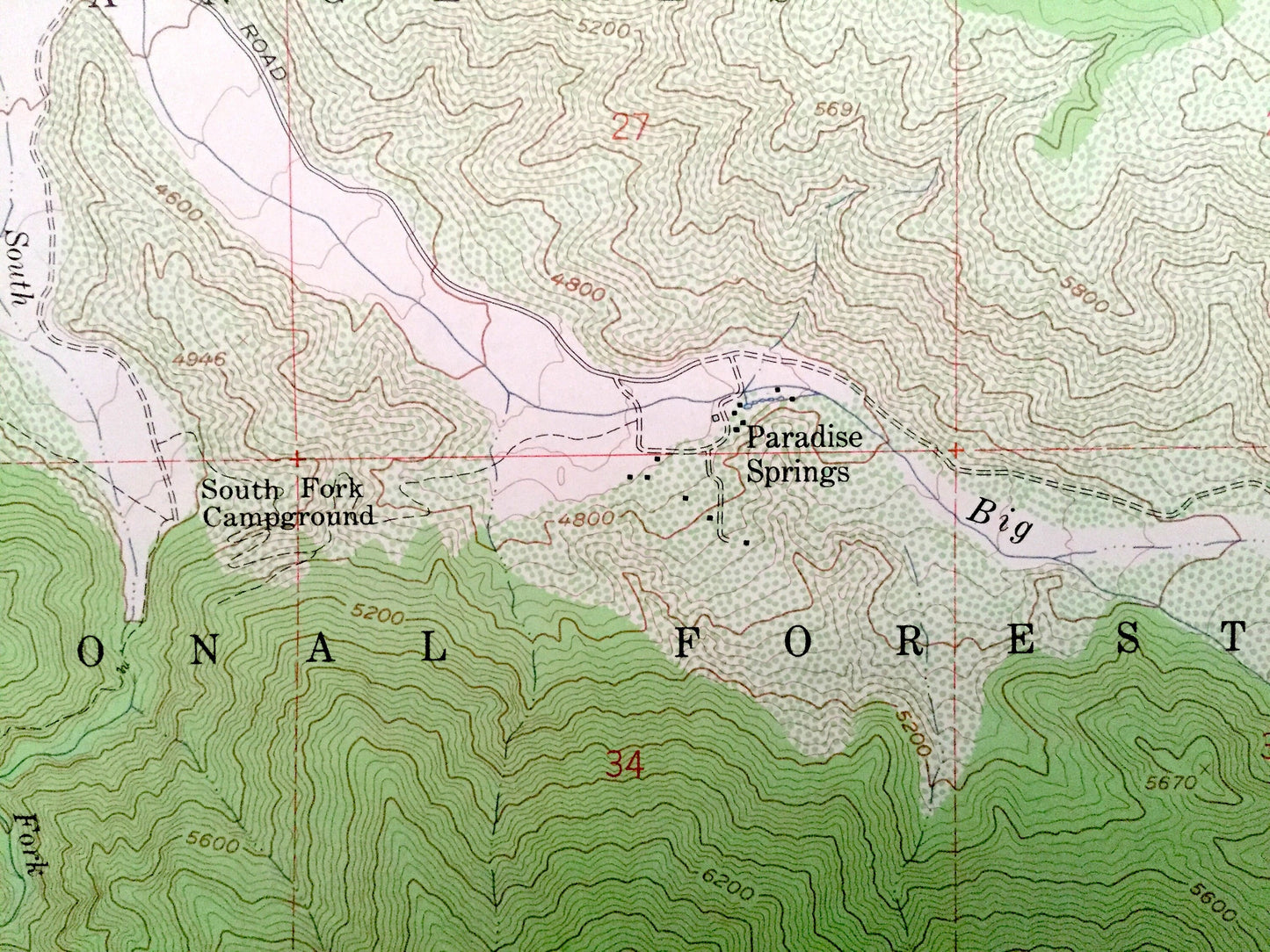
See what California looked like 60 years ago. Lots of intricate details and geological contours. Map even has little squares for every house that existed at the time. The USGS cartographers were very thorough back then!
Perfect for the historian, map-lover, the curious or just as a conversation starter. Wonderful and rare. Vintage maps such as these make great gifts.
Edition of 1958, printed 1958
Dimensions: 22" width x 27" height
----
Features
Cities & Towns: Valyermo, Paradise Springs, Mile High, Old Point Comfort, Big Rock Springs, Largo Vista.
Points of Interest: Angeles National Forest, San Andreas Rift Zone, Holcomb Ridge, Pinyon Ridge, Grandview Canyon, Llano Racetrack, Devils Punchbowl, Caldwell Lake, and many more hills, streams, ponds, houses, schools, churches and roads.
Condition: Very Good condition, commensurate with age. This map is in incredible shape for being 60 years old.
----
We will happily adjust shipping price for multiple purchases. Maps are rolled up and shipped in sturdy mailing tubes, never folded.
Couldn't load pickup availability
Share