My Store
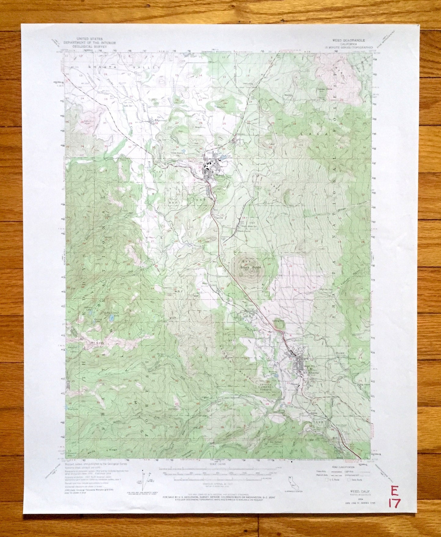
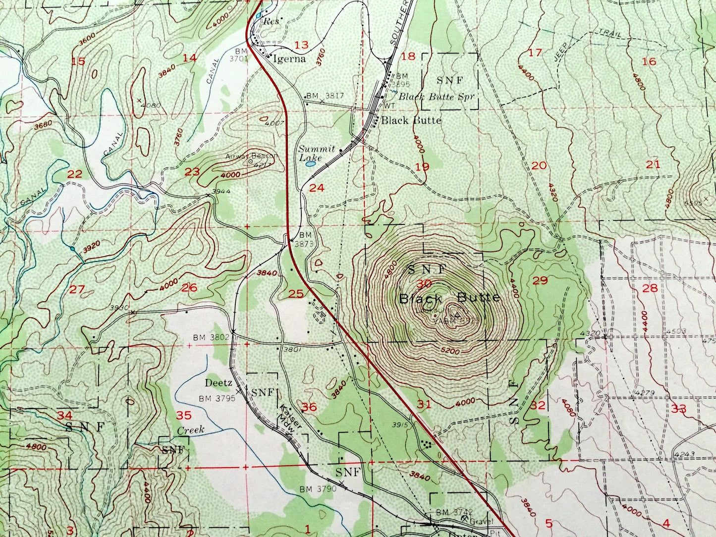
Antique Weed, California 1954 US Geological Survey Topographic Map – Siskiyou County, Mt Shasta, Trinity Range, Shasta National Forest, CA
Antique Weed, California 1954 US Geological Survey Topographic Map – Siskiyou County, Mt Shasta, Trinity Range, Shasta National Forest, CA
Beautiful, antique map of Weed, California and surrounding Siskiyou County & Trinity County area. This is an authentic 1954 edition, 1971 print from the U.S. Geological Survey and NOT a computer reproduction.
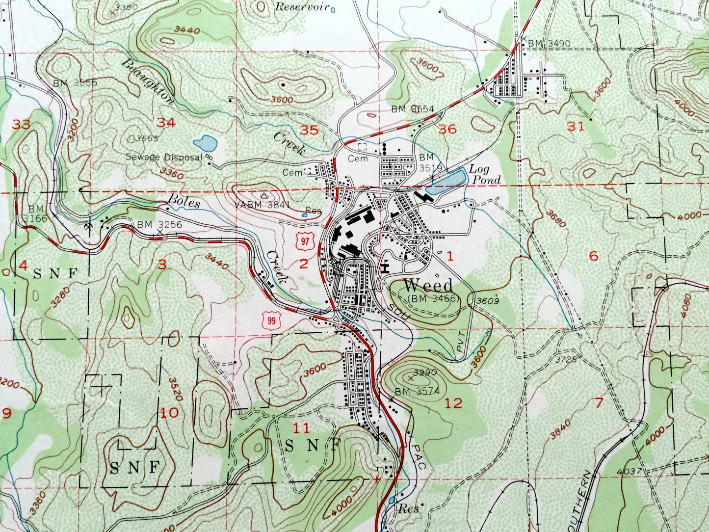
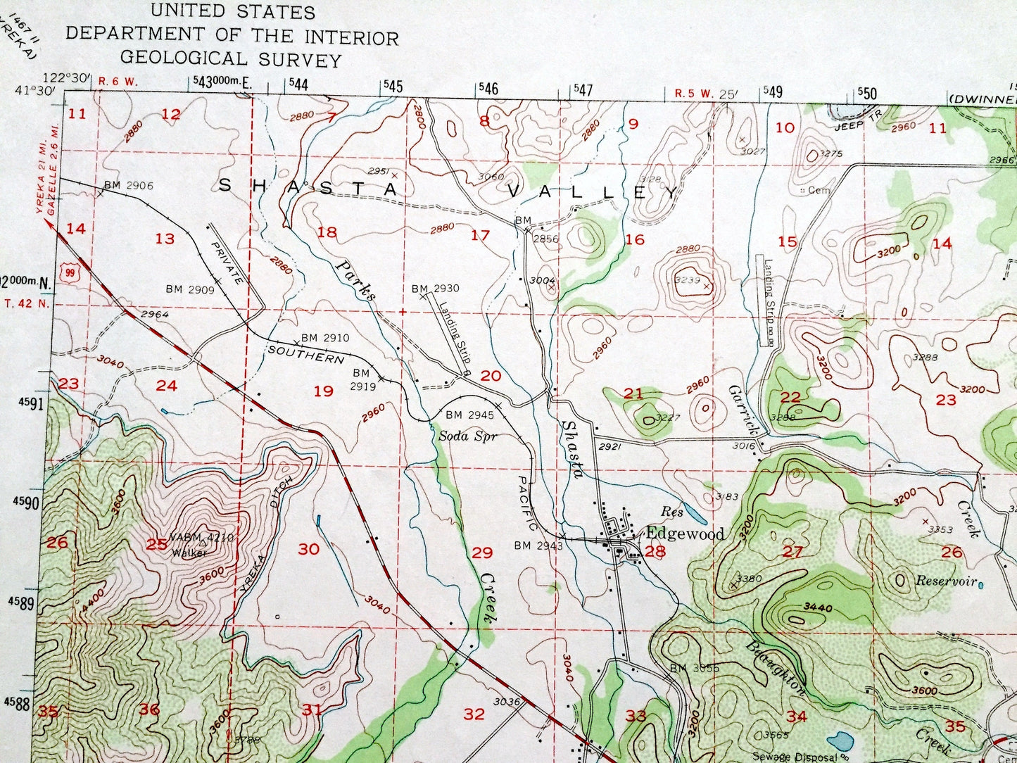
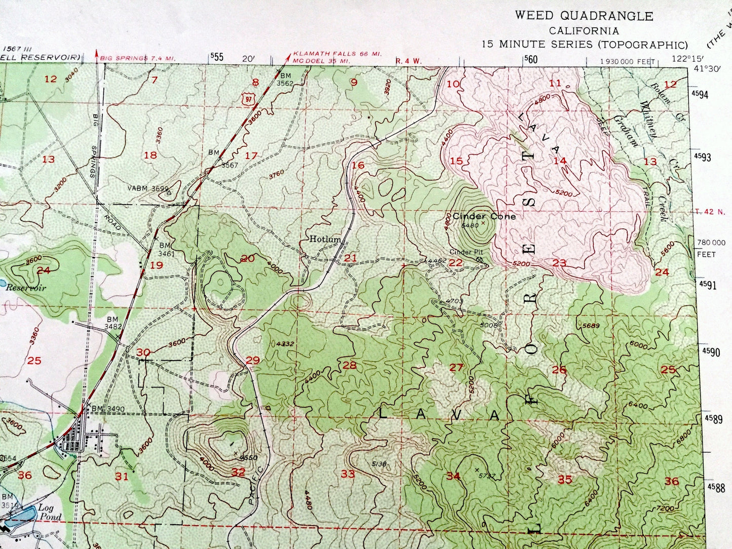
See what California looked like more than 65 years ago. Lots of intricate details and geological contours. Map even has little squares for every city block that existed at the time. The USGS cartographers were very thorough back then!
Perfect for the historian, map-lover, the curious or just as a conversation starter. Wonderful and rare. Vintage maps such as these make great gifts.
Edition of 1954, printed 1971
Dimensions: 17" width x 21" height
----
Features
Cities & Towns: Weed, Mt Shasta, Edgewood, Igerna, Deetz, Upton, Azalea, Howard, Mott, Small, Ney Springs, Hotlum, Black Butte, Big Canon, Pioneer.
Points of Interest: Siskiyou County, Trinity County, Trinity Mountains, Shasta National Forest, The Eddys, Mt Eddy, Black Butte, Cinder Cone, Lava, Shasta Valley, Cascade Gulch, Rainbow Ridge, Sacramento River, Morgan Meadows, Wagon Creek, Dale Creek, McBride Springs, Spring Hill, Lees Lodge, Log Pond, Beaughton Creek, Abrams Lake, and many more hills, mountains, canyons, towns and roads.
Condition: Very Good Vintage condition, commensurate with age. This map is in great shape for being over 50 years old. Has light edge-wear and marker in bottom right corner, but this will add to vintage character when framed.
----
We will happily adjust shipping price for multiple purchases. Maps are rolled up and shipped in sturdy mailing tubes, never folded.
Couldn't load pickup availability
Share