My Store
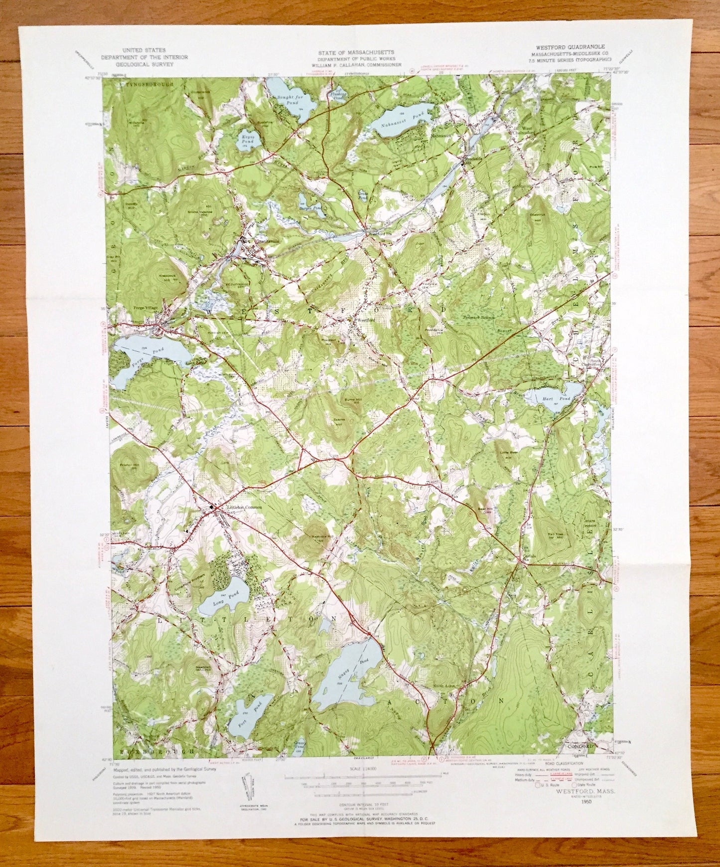
Antique Westford, Massachusetts 1950 US Geological Survey Topographic Map – Middlesex County, Groton, Concord, Acton, Littleton Nabnasset MA
Antique Westford, Massachusetts 1950 US Geological Survey Topographic Map – Middlesex County, Groton, Concord, Acton, Littleton Nabnasset MA
Beautiful, antique map of Westford, Massachusetts and surrounding Middlesex County area. This is an authentic 1950 print from the U.S. Geological Survey and NOT a computer reproduction.
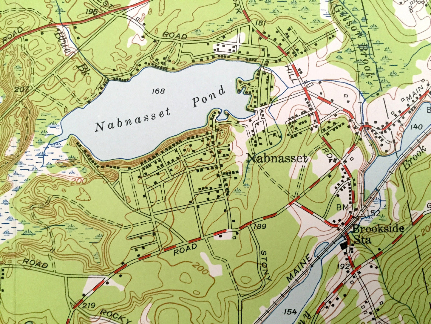
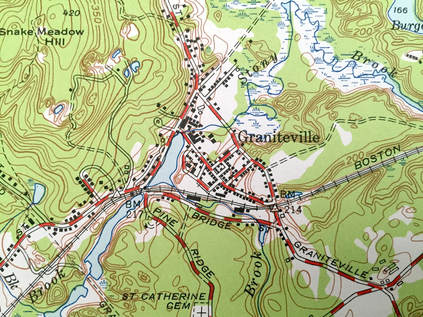
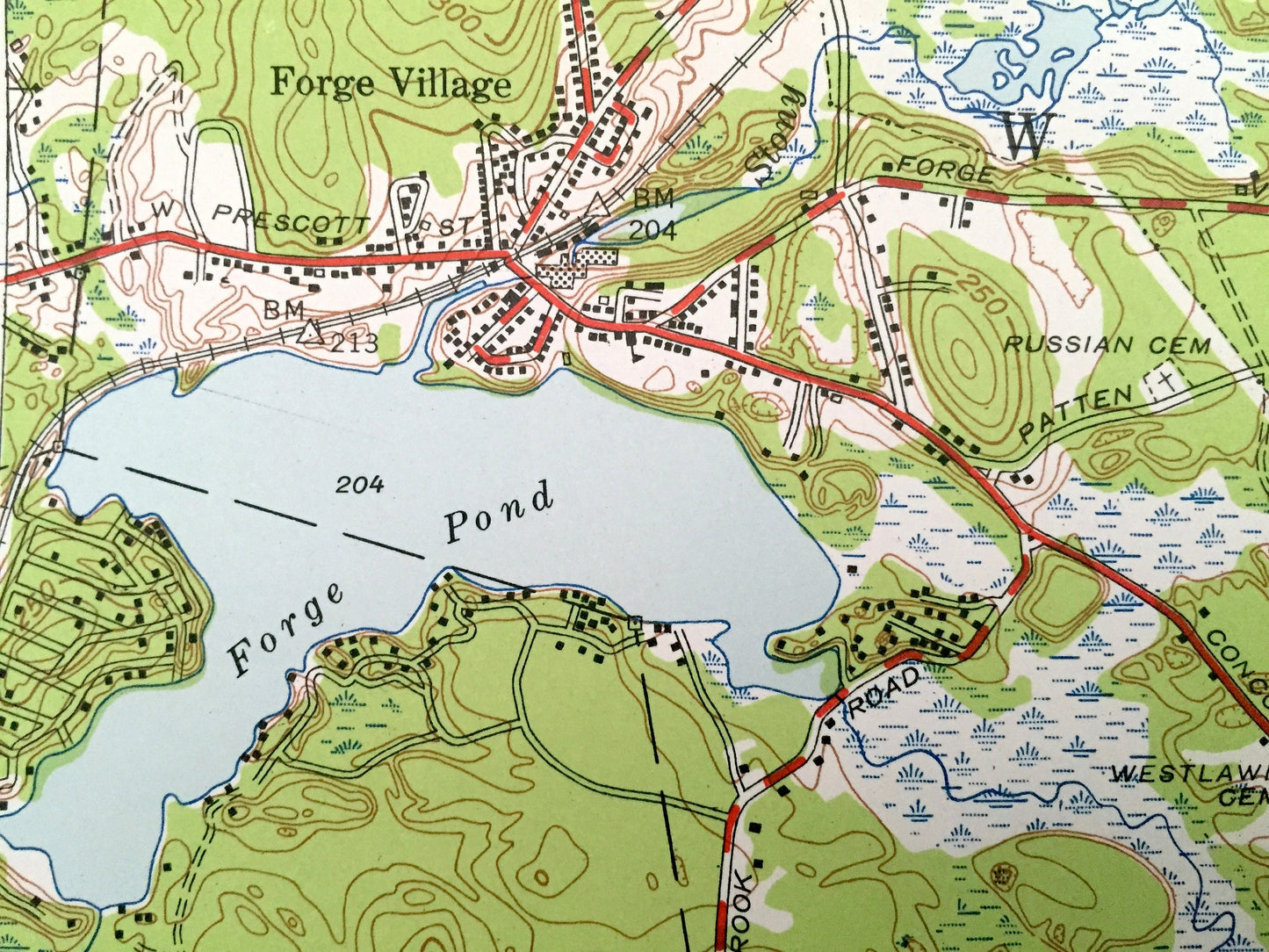
See what Massachusetts looked like over 70 years ago. Lots of intricate details and geological contours. Map even has little squares for every house that existed at the time. The USGS cartographers were very thorough back then!
Perfect for the historian, map-lover, the curious or just as a conversation starter. Wonderful and rare. Vintage maps such as these make great gifts.
Edition of 1950, printed 1950
Dimensions: 22" width x 27" height
----
Features
Cities & Towns: Westford, Tyngsborough, Groton, Forge Village, Graniteville, Westford Station, Nabnasset, West Chelmsford, Chelmsford, South Chelmsford, Littleton, Boxborough, Acton, North Acton, Littleton Common, Concord, Carlisle.
Points of Interest: Nagog Pond, Tadmuck Swamp, Sought for Pond, Stony Brook, Boston & Maine Railroad, Forge Pond, Nabnasset Pond, Hart Pond, and many more roads, houses, reservoirs, ponds, and hills.
Condition: Good Vintage condition, commensurate with age. This map is in incredible shape for being over 70 years old. Has some fold marks, but these will read as vintage character when framed.
----
We will happily adjust shipping price for multiple purchases. Maps are rolled up and shipped in sturdy mailing tubes, never folded.
Couldn't load pickup availability
Share