My Store
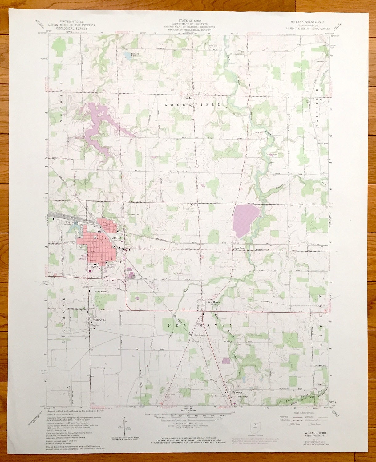
Antique Willard, Ohio 1960 US Geological Survey Topographic Map – Greenfield, New Haven, Garfield, Norwich, Celeryville, Plymouth Steuben OH
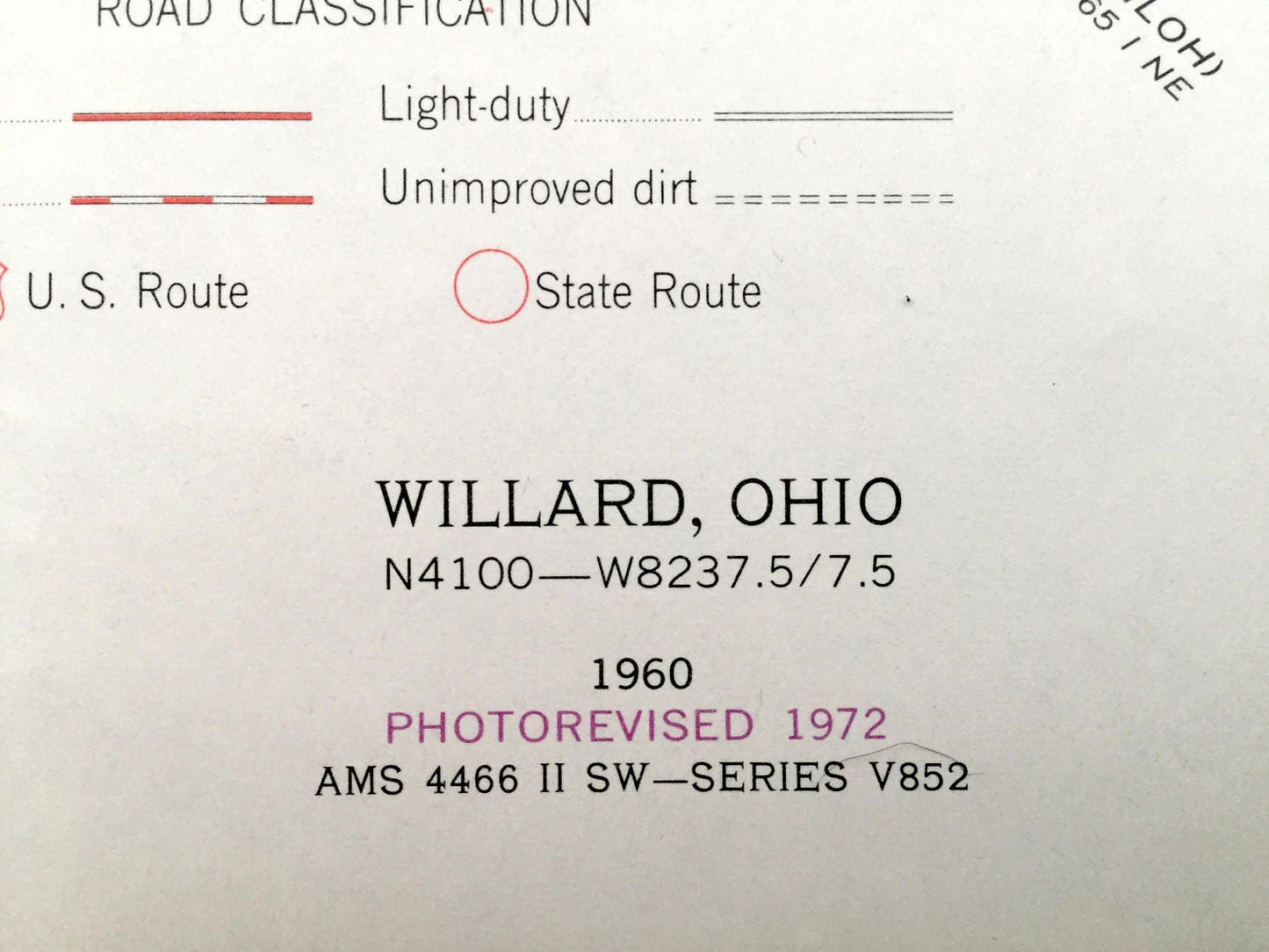
Antique Willard, Ohio 1960 US Geological Survey Topographic Map – Greenfield, New Haven, Garfield, Norwich, Celeryville, Plymouth Steuben OH
Beautiful, antique map of Willard, Greenfield, New Haven, Celeryville and Norwich, Ohio. This is an authentic 1972 print of 1960 survey data from the U.S. Geological Survey and NOT a computer reproduction.
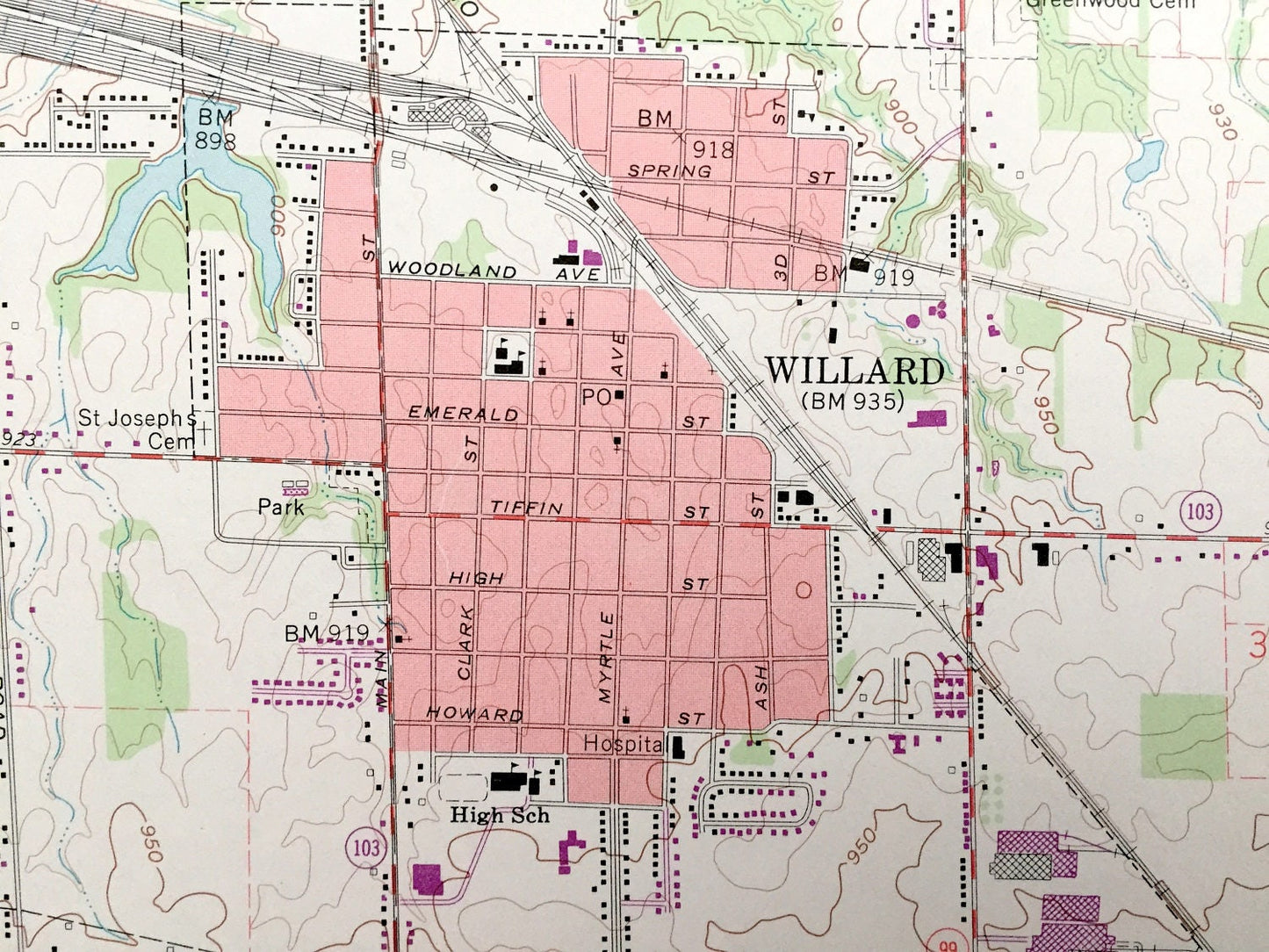
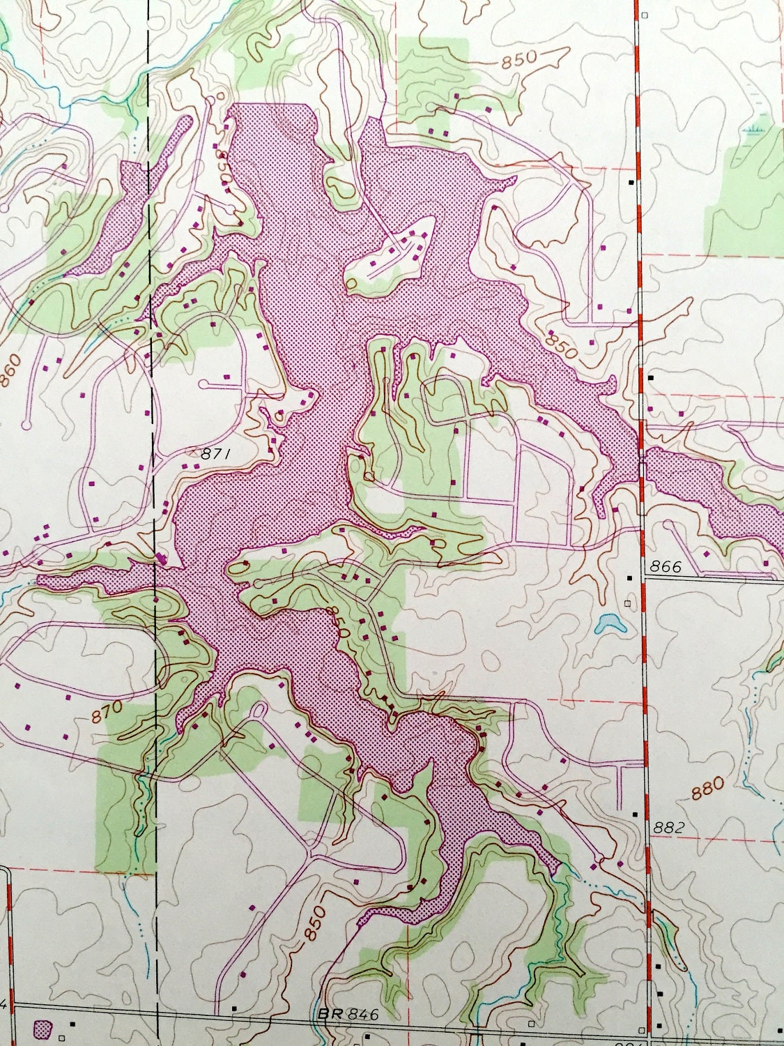
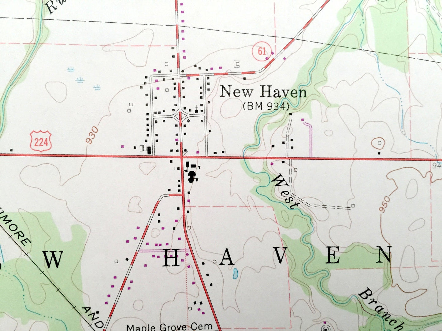
See what Huron County of Ohio looked like over 55 years years ago. Lots of intricate details and geological contours. Map even has little squares for every house that existed at the time. The USGS cartographers were very thorough back then!
Perfect for the historian, map-lover, the curious or just as a conversation starter. Wonderful and rare. Vintage maps such as these make great gifts.
Edition of 1960, printed 1972
Dimensions: 22" width x 27" height
----
Features
Cities & Towns: Greenfield, Norwich, Willard, Celeryville, Richmond, New Haven, Plymouth, Ripley, Garfield, Steuben.
Points of Interest: Willard High School, Baltimore and Ohio Railroad, Willard Airport, Mary Fair Park, West Branch Huron River, Guinea Corners Church, Camp Conger, Forest Lake Park, Willard Lake, Akron Canton and Youngstown Rialroad and lots more streams, ponds, schools, churches, houses, and roads.
Condition: Very Good condition, commensurate with age. This map is in incredible shape for being 45 years old.
----
We will happily adjust shipping price for multiple purchases. Maps are rolled up and shipped in sturdy mailing tubes, never folded.
Couldn't load pickup availability
Share