My Store
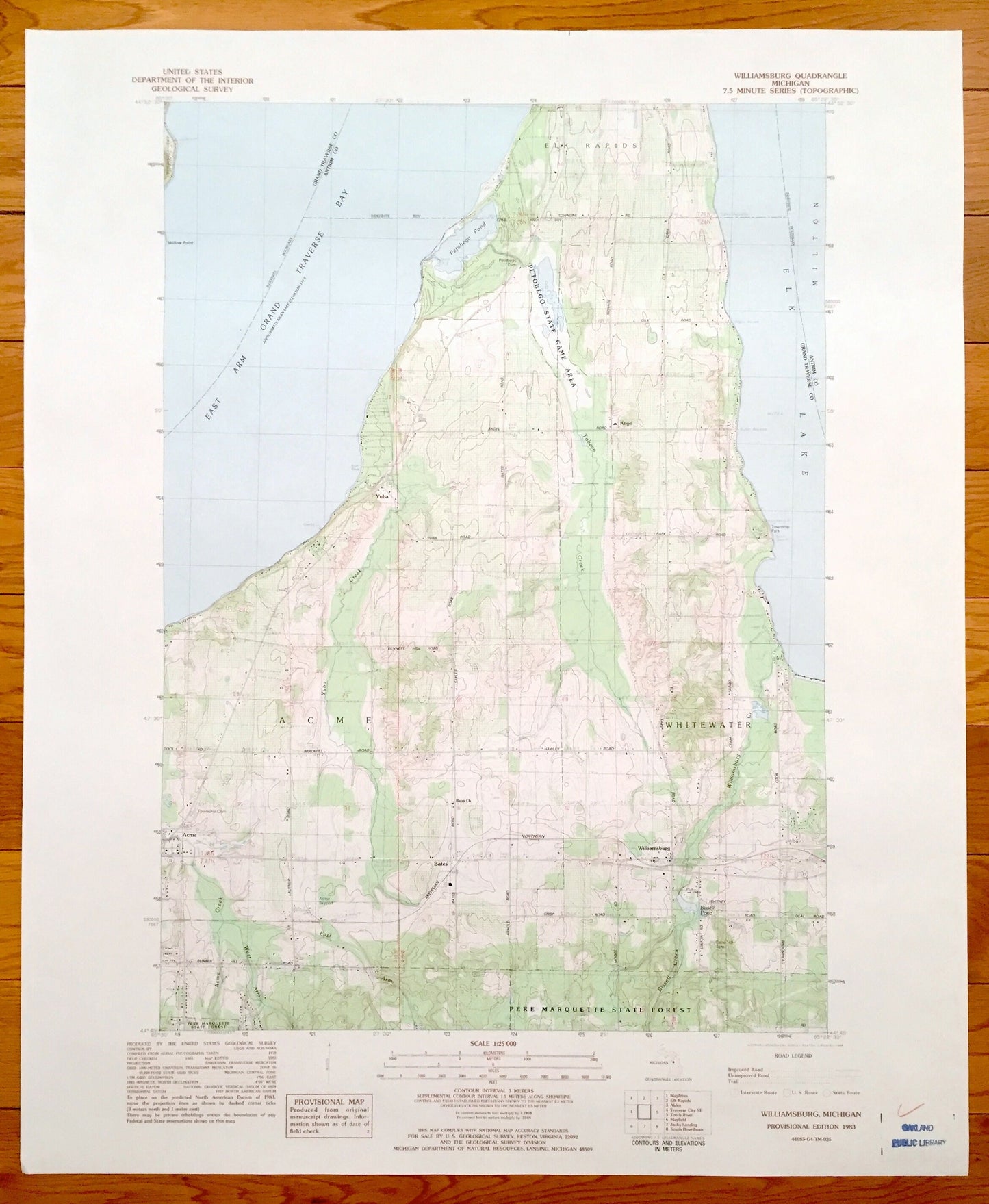
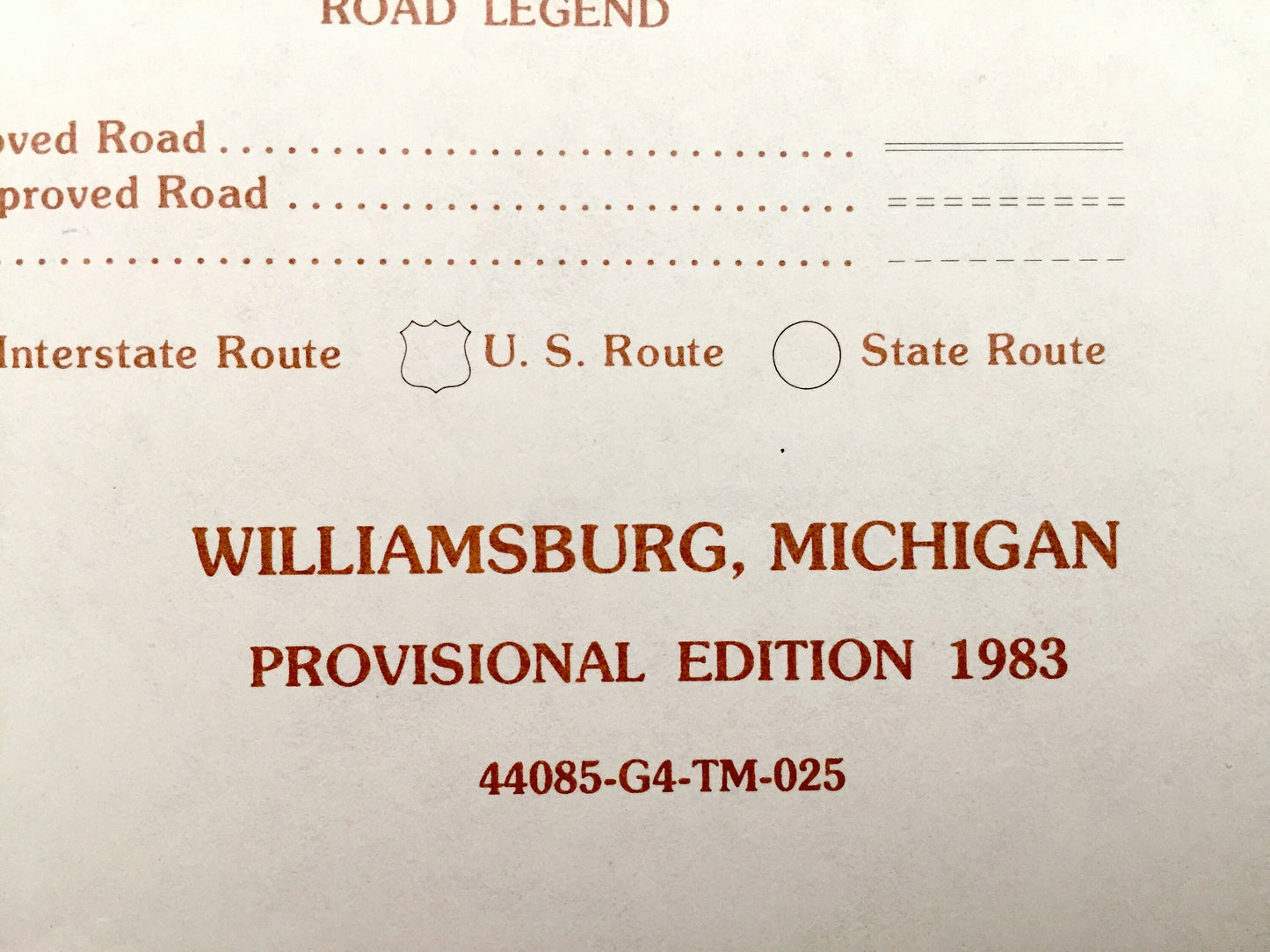
Antique Williamsburg, Michigan 1983 US Geological Survey Topographic Map – Whitewater, Elk Rapids, Acme, Angel, Yuba, Bates, Grand Traverse
Antique Williamsburg, Michigan 1983 US Geological Survey Topographic Map – Whitewater, Elk Rapids, Acme, Angel, Yuba, Bates, Grand Traverse
Beautiful, antique map of Williamsburg, Elk Rapids, Angel, Acme & Yuba, Michigan. This is an authentic 1983 print from the U.S. Geological Survey and NOT a computer reproduction.
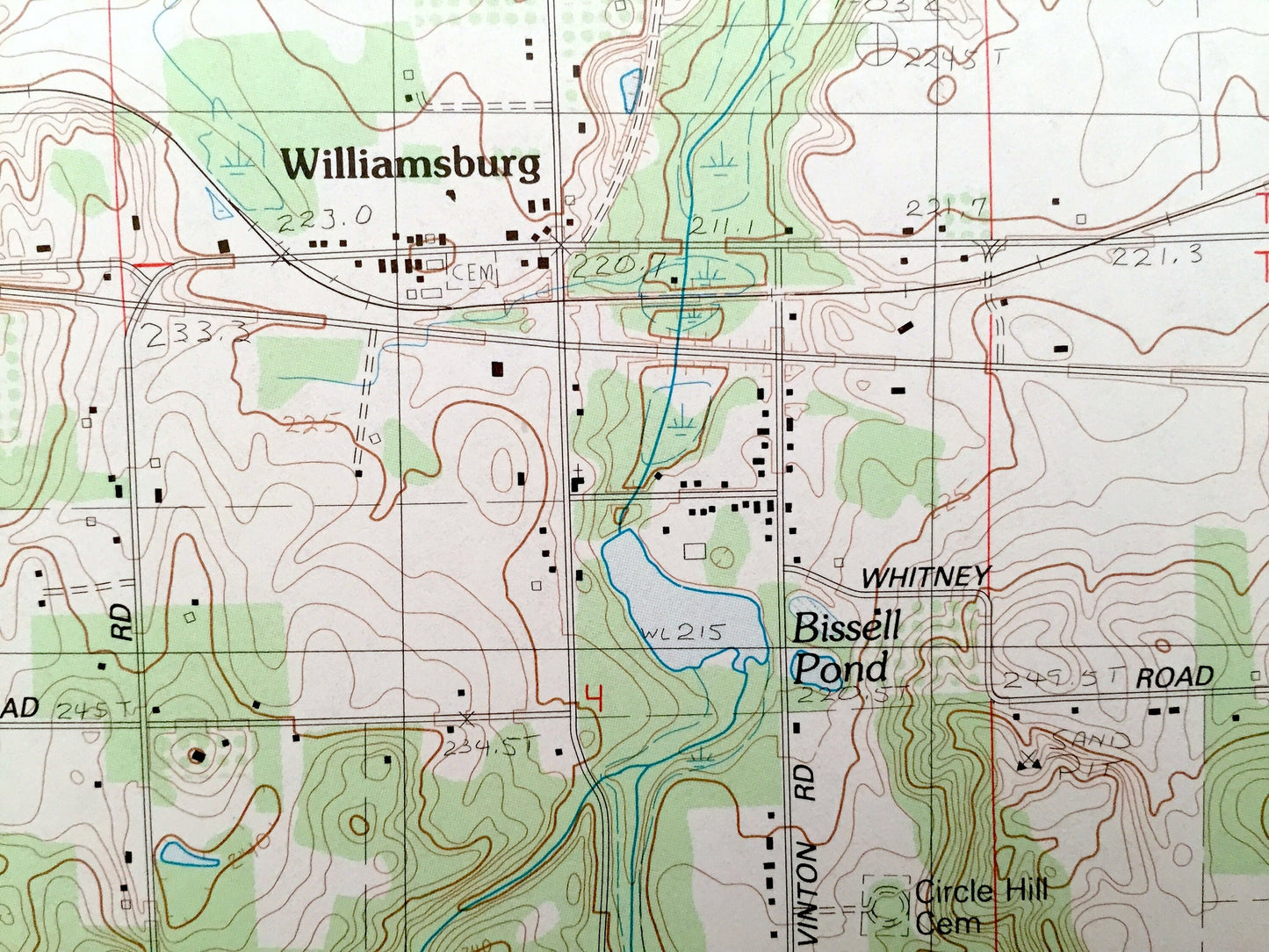
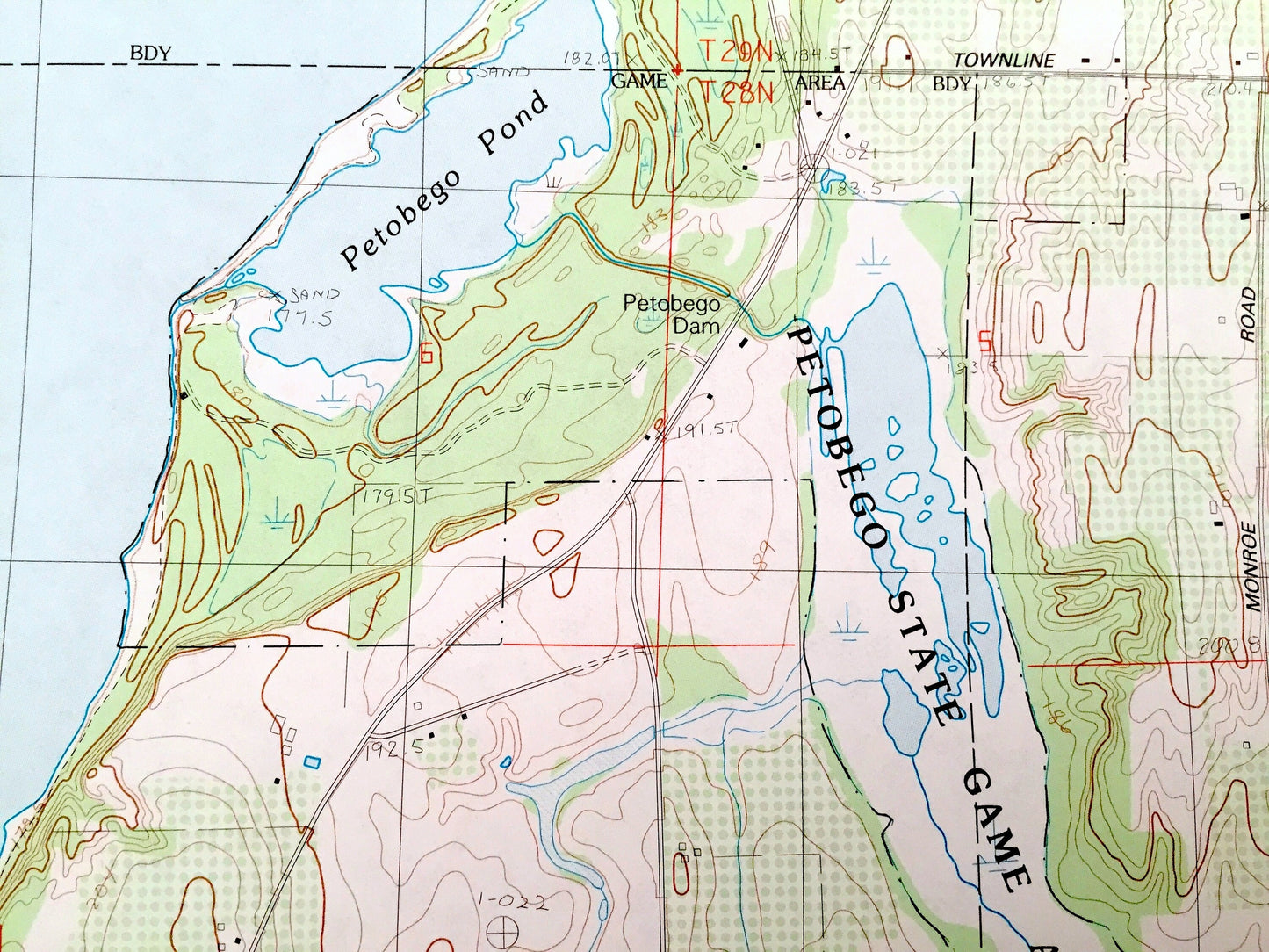
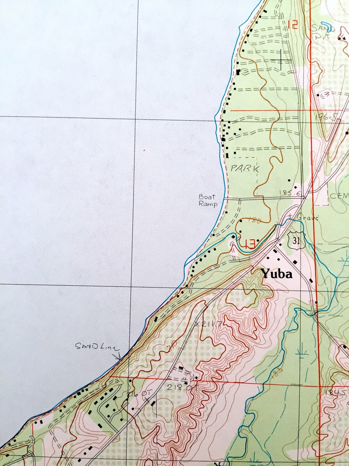
See what Grand Traverse and Antrim Counties of Michigan looked like 35 years ago. Lots of intricate details and geological contours. Map even has little squares for every house that existed at the time. The USGS cartographers were very thorough back then!
Perfect for the historian, map-lover, the curious or just as a conversation starter. Wonderful and rare. Vintage maps such as this make great gifts.
Edition of 1983, printed 1983
Dimensions: 22" width x 27" height
----
Features
Cities & Towns: Whitewater, Williamsburg, Bates, Acme, Yuba, Elk Rapids, Angel.
Points of Interest: Elk Lake, East Arm Grand Traverse Bay, Petobego State Game Area, Pere Marquette State Forest, Michigan Northern Railroad, Township Park, and many more roads, towns and rivers.
Condition: Very Good condition, commensurate with age. This map is in incredible shape for being 35 years old.
----
We will happily adjust shipping price for multiple purchases. Maps are rolled up and shipped in sturdy mailing tubes, never folded.
Couldn't load pickup availability
Share