My Store
Antique Williamson, New York 1952 US Geological Survey Topographic Map — Wayne County, Marion, Arcadia, Palmyra, Cory Corners, NY
Antique Williamson, New York 1952 US Geological Survey Topographic Map — Wayne County, Marion, Arcadia, Palmyra, Cory Corners, NY
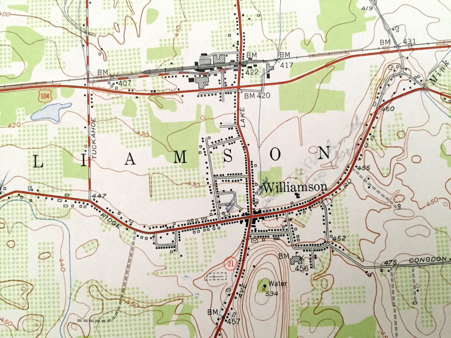
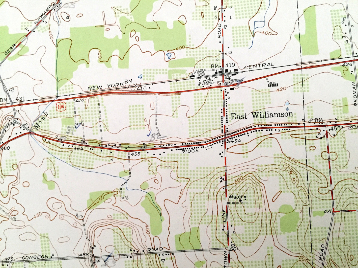
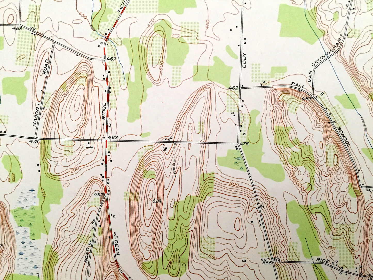
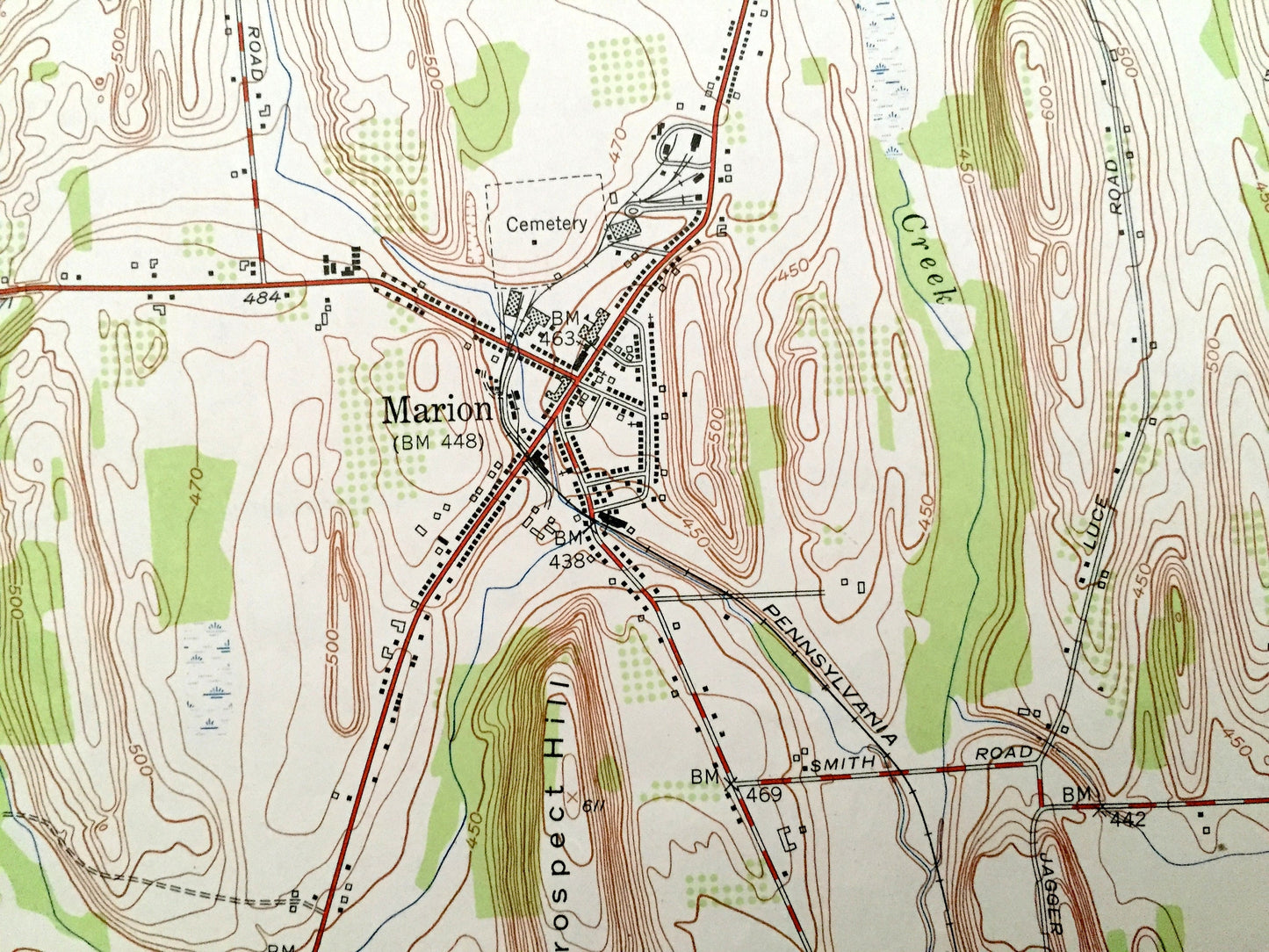
Beautiful, antique map of Williamson, New York and surrounding Wayne County area. This is an authentic 1952 edition, 1953 print from the U.S. Geological Survey and NOT a computer reproduction.
See what New York looked like over 65 years ago. Lots of intricate details and geological contours. Map even has little squares for every house that existed at the time. The USGS cartographers were very thorough back then!
Perfect for the historian, map-lover, the curious or just as a conversation starter. Wonderful and rare. Vintage maps such as these make great gifts.
Edition of 1952, printed 1953
Dimensions: 22" width x 27" height
----
Features
Cities & Towns: East Williamson, Owls Nest, Sodus.
Points of Interest: Pigeon Hill, Cory Hill, Prospect Hill, Beam Hill, Red Creek, Salmon Creek, Mink Creek, and more roads, railroads, houses, ponds, hills, creeks, and lakes.
Condition: Very Good Vintage condition, commensurate with age. This map is in great shape for being over 65 years old. Has light edge-wear and penciled notes on the right side margin, all of which will read as character when framed.
----
We will happily adjust shipping price for multiple purchases. Maps are rolled up and shipped in sturdy mailing tubes, never folded.
Couldn't load pickup availability
Share