My Store
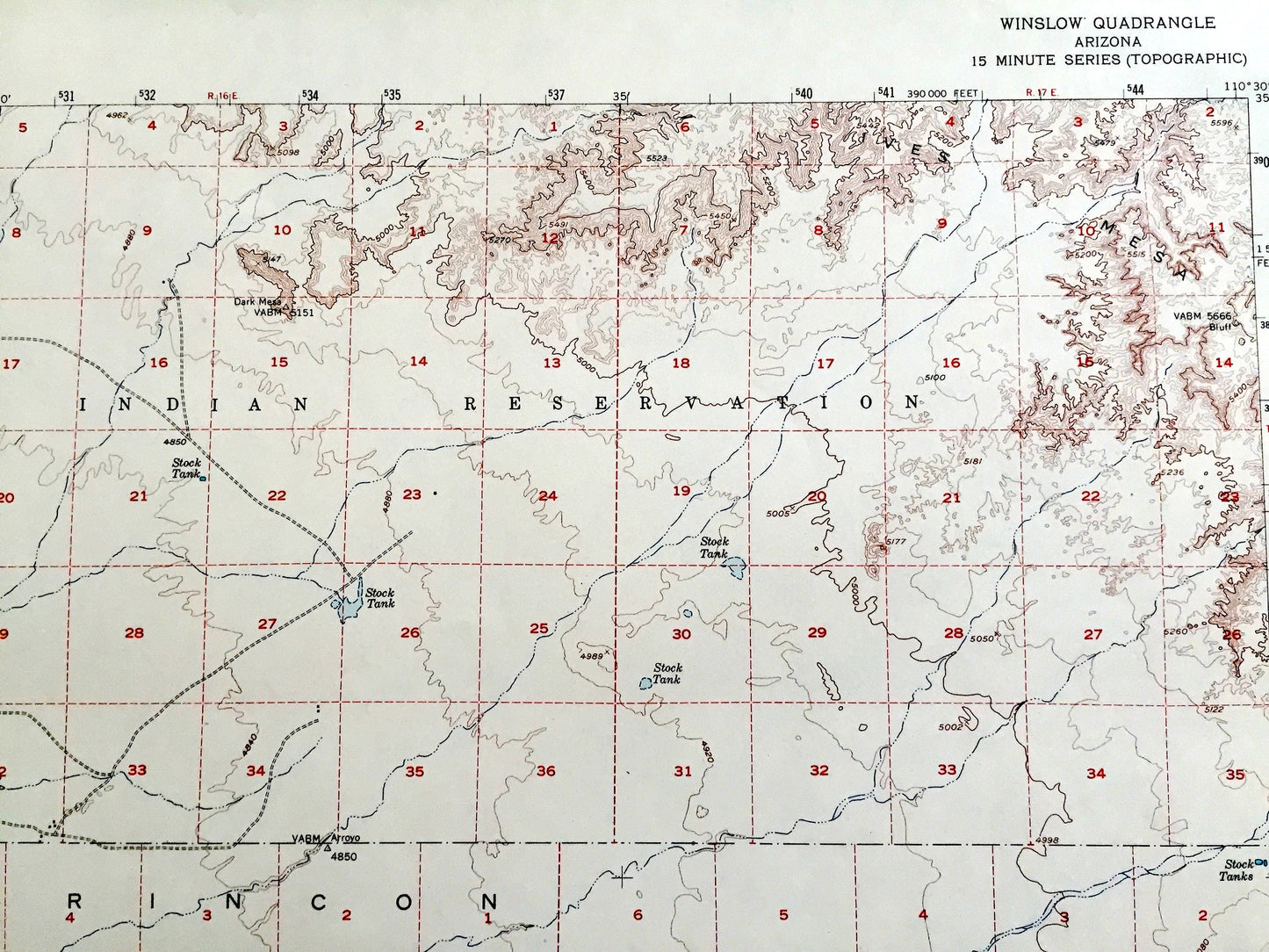
Antique Winslow, Arizona 1954 US Geological Survey Topographic Map – Navajo County, Hopi Indian Reservation, Homolovi State Park, AZ
Antique Winslow, Arizona 1954 US Geological Survey Topographic Map – Navajo County, Hopi Indian Reservation, Homolovi State Park, AZ
Beautiful, antique map of Winslow, Arizona and surrounding Navajo County area. This is an authentic 1954 edition, 1968 print from the U.S. Geological Survey and NOT a computer reproduction.
See what Arizona looked like over 65 years ago. Lots of intricate details and geological contours. Map even has little squares for every house that existed at the time. The USGS cartographers were very thorough back then!
Perfect for the historian, map-lover, the curious or just as a conversation starter. Wonderful and rare. Vintage maps such as this make great gifts.
Edition of 1954, printed 1968
Dimensions: 17" width x 21" height
----
Features
Points of Interest: Winslow, Bushman Acres, Navajo County, Tucker Flat, Toltec Divide, Navajo Indian Reservation, Rincon Basin, Ives Mesa, Winslow Municipal Airport, Cottonwood Wash, Rincon Ranch, Little Colorado River, Atchison Topeka and Santa Fe Railroad, and many more canyons, washes, valleys and creeks.
Condition: Very Good Vintage condition, commensurate with age. This map is in great shape for being over 50 years old. Has light wear and slight creasing, but these will flatten easily and all will add to character when framed.
----
We will happily adjust shipping price for multiple purchases. Maps are rolled up and shipped in sturdy mailing tubes, never folded.
Couldn't load pickup availability
Share