My Store
Antique Yonkers, New York & Englewood, New Jersey 1966 US Geological Survey Topographic Map – Bronx, Greenburgh, Harrington Park, Cresskill
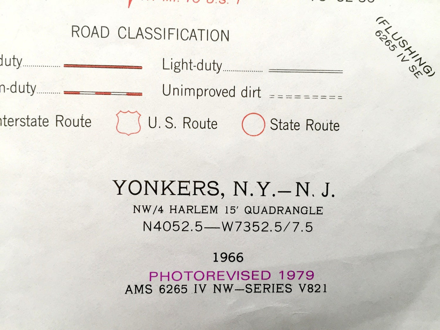
Antique Yonkers, New York & Englewood, New Jersey 1966 US Geological Survey Topographic Map – Bronx, Greenburgh, Harrington Park, Cresskill
Beautiful, antique map of Yonkers, the Bronx, Greenburg, Hastings on Hudson New York, including Cresskill, Tenafly, Englewood, Bergenfield and Dumont New Jersey. This is an authentic 1979 print of 1966 survey data from the U.S. Geological Survey and NOT a computer reproduction.
See what Westchester and Bronx Counties of New York and Bergen County of New Jersey looked like over 50 years ago. Lots of intricate details and geological contours. Map even has little squares for every house that existed at the time. The USGS cartographers were very thorough back then!
Perfect for the historian, map-lover, the curious or just as a conversation starter. Wonderful and rare. Vintage maps such as these make great gifts.
Edition of 1966, printed 1979
Dimensions: 21 1/2" width x 27" height
----
Features
Cities & Towns: NEW YORK: Hastings on Hudson, Greenburgh, Greystone, Glenwood, Yonkers, Park Hill, Ludlow, Lawerre, Lincoln, Bronx, Riverdale, Spuyten Duyvil.
NEW JERSEY: River Vale, Harrington Park, Norwood, Rockleigh, Northvale, Tenafly, Cresskill, Dumont, Haworth, Closter, Dearest, Englewood, Englewood Cliffs, Bergenfield.
Points of Interest: Hudson River, Andrus Memorial Home, Thompson Institute, Greystone Country Club, Seton College, Untermyer Park, Christ the King School, Hudson River Museum and Planitariam, Longfellow Junior Highschool, Yonkers Golf Course, Pelton Oval, Hawthorne High School, Van Cortlandt Park, Mosholu Golf Course, Mansion House, Van Cortlandt Lake, High School of Science, Ft Independence Park, Conrail Tracks, Palisades State Park, Palisades Golf Course, Alpine Camp, Onrbach Arena, State Line Lookout, Dwight Jr High school, Jewish Community Center, Washington School, Camp Merritt Memorial Monument, Merritt School, Oradell Reservoir, and lots more schools, churches, streams, houses, and roads.
Condition: Very Good Vintage condition, commensurate with age. This map is in great shape for over 40 years old.
----
We will happily adjust shipping price for multiple purchases. Maps are rolled up and shipped in sturdy mailing tubes, never folded.
Couldn't load pickup availability
Share