-
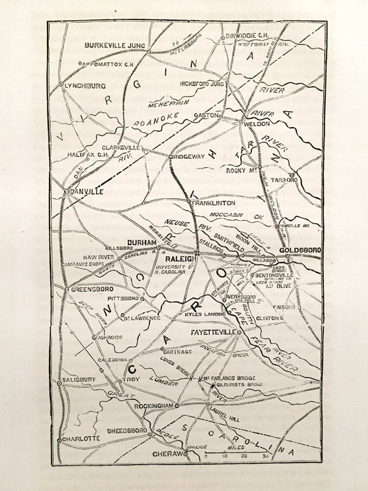
Antique 1865 Savannah, Georgia Map from The History of the Civil War in The United States by Samuel Schmucker – Charleston, South Carolina
Regular price $55.00 USDRegular priceUnit price per -
Antique 1865 Vicksburg, Mississippi Map from History of the Civil War in The United States by Samuel Schmucker Port Hudson, Louisiana LA MI
Regular price $50.00 USDRegular priceUnit price per -
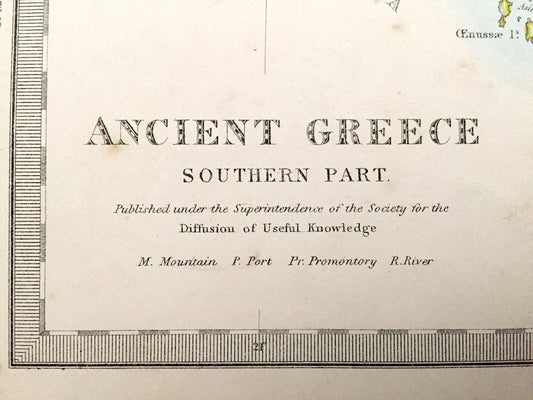
Antique 1866 Ancient Greece Map from SDUK Atlas – Athens, Corinth, Sparta, Patras, Preveza, Kalamata, Saronic, Cyclades Islands, Negropont
Regular price $125.00 USDRegular priceUnit price per -
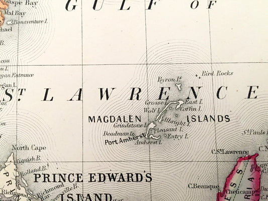
Antique 1867 Nova Scotia, New Brunswick, Prince Edward Island & Cape Breton Island, Canada Map by S.A. Mitchell – Halifax, St John, Magdalen
Regular price $115.00 USDRegular priceUnit price per -
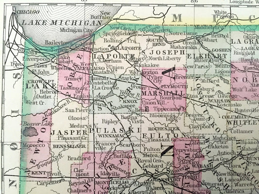
Antique 1867 Ohio & Indiana State Map by S. Augustus Mitchell – Columbus, Cleveland, Cincinnati, Akron, Indianapolis, Fort Wayne, OH IN
Regular price $115.00 USDRegular priceUnit price per -
Antique 1869 France Map from Atlas National by Migeon – Paris, Marseilles, Toulouse, Bordeaux, Lille, Nantes, Lyon, Corisica, Normandy
Regular price $75.00 USDRegular priceUnit price per -
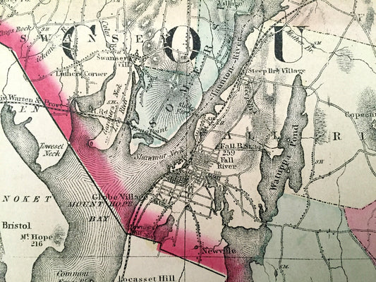
Antique 1871 Bristol County, Massachusetts Topographical Map from Stedman Brown & Lyon Atlas – Fall River, New Bedford Westport Dartmouth MA
Regular price $95.00 USDRegular priceUnit price per -
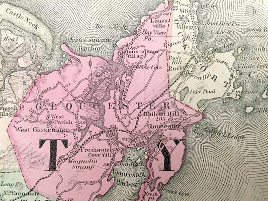
Antique 1871 Essex & Norfolk County, Massachusetts Topographical Map from Stedman Brown Lyon Atlas – Boston, Salem, Newburyport, Ipswich, MA
Regular price $115.00 USDRegular priceUnit price per -
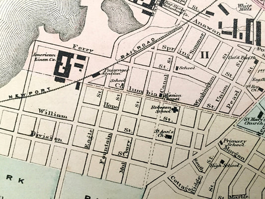
Antique 1871 Fall River & Taunton, Massachusetts Double-Sided Topographical Map from Stedman and Lyon Atlas – Bristol County, Mount Hope Bay
Regular price $55.00 USDRegular priceUnit price per -
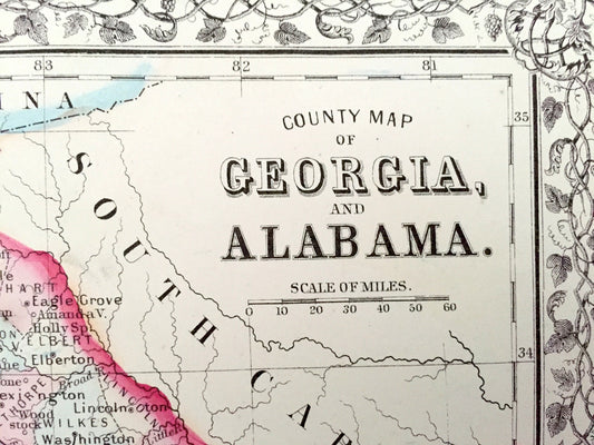
Antique 1871 Georgia & Alabama State Map by S.A. Mitchell – Atlanta, Mobile, Montgomery, Savannah, Birmingham, Athens Columbus Decatur GA AL
Regular price $115.00 USDRegular priceUnit price per -
Antique 1871 Greenfield & Gill, Massachusetts Map from F.W. Beers Atlas of Franklin County – Factory Village, Turners Falls, Riverside, MA
Regular price $85.00 USDRegular priceUnit price per -
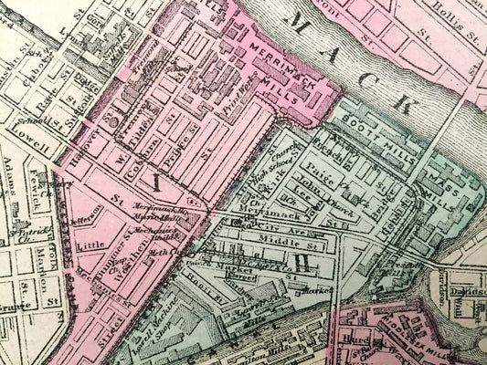
Antique 1871 Lowell & Lawrence, Massachusetts Double-Sided Topographical Map from Stedman and Lyon Atlas – Belvidere, Merrimack, Middlesex
Regular price $75.00 USDRegular priceUnit price per -
Antique 1871 Massachusetts Topographical Map from Stedman Brown & Lyon Atlas – Walling and Gray, Boston, Cape Cod, Berkshires, Middlesex, MA
Regular price $55.00 USDRegular priceUnit price per -
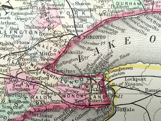
Antique 1871 Ontario, Canada Map by S.A. Mitchell – Toronto, Ottawa, Windsor, London, Niagara Falls, Michigan, New York, Thousand Islands
Regular price $115.00 USDRegular priceUnit price per -
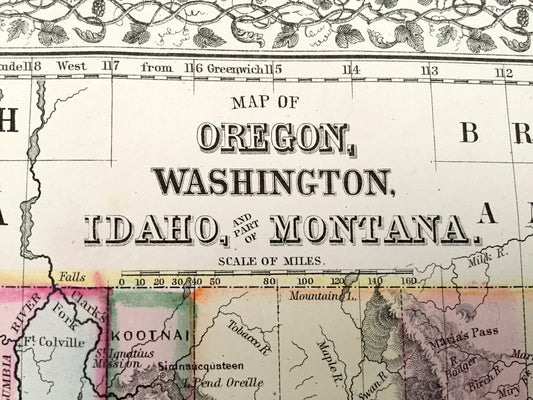
Antique 1871 Oregon, Washington, Idaho, Montana State Map by S. Augustus Mitchell – Northwest, Seattle, Portland, Coast, Olympia, WA OR MT
Regular price $125.00 USDRegular priceUnit price per -
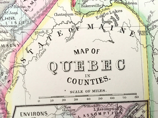
Antique 1871 Quebec, Canada Map by S.A. Mitchell – Montreal, Three Rivers, St. Francis, Terre Bonne, City, Sherbrooke, New Brunswick, QC
Regular price $95.00 USDRegular priceUnit price per -
Antique 1871 Worcester County, Massachusetts Topographical Map from Stedman & Lyon Atlas – Sturbridge, Auburn, Webster Charlton Wachusett MA
Regular price $95.00 USDRegular priceUnit price per -
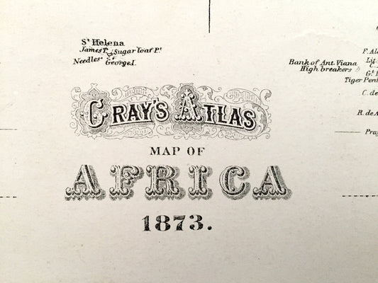
Antique 1874 Africa and Europe Map from O.W. Gray's Atlas of United States of America; Stedman, Brown & Lyon – Sudan, Sahara, Congo, Egypt
Regular price $175.00 USDRegular priceUnit price per -
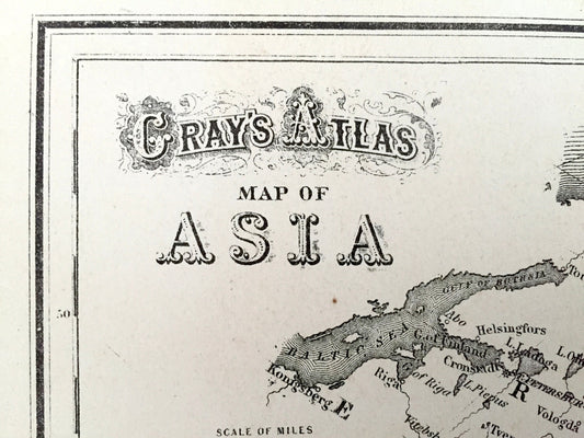
Antique 1874 Asia and Oceania Map from O.W. Gray's Atlas of United States of America; Stedman, Brown & Lyon – India, Australia, Middle East
Regular price $155.00 USDRegular priceUnit price per -
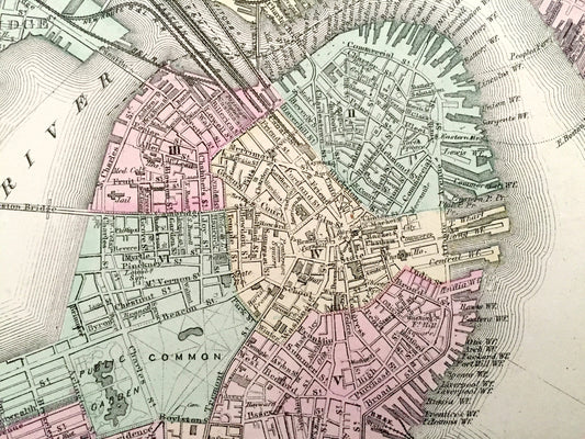
Antique 1874 Boston / Massachusetts State Map from O.W. Gray's Atlas of United States of America; Stedman, Brown & Lyon – Rhode Island
Regular price $225.00 USDRegular priceUnit price per