Collection: Vintage Maine Maps
-
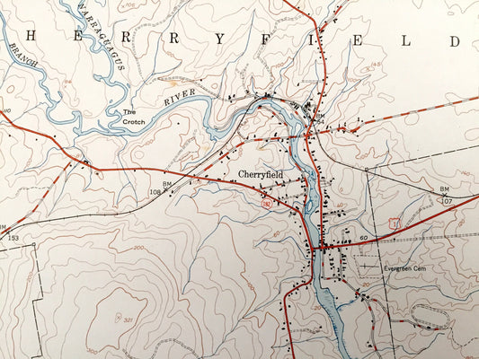
Antique Cherryfield, Maine 1950 US Geological Survey Topographic Map – Hancock, Washington County, Steuben, Milbridge, Gouldsboro, ME
Regular price $45.00 USDRegular priceUnit price / per -
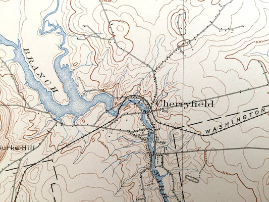
Antique Cherryfield, Maine 1904 US Geological Survey Topographic Map – Steuben, Millbridge, Harrington, Columbia, Addison, Pleasant Bay, ME
Regular price $45.00 USDRegular priceUnit price / per -
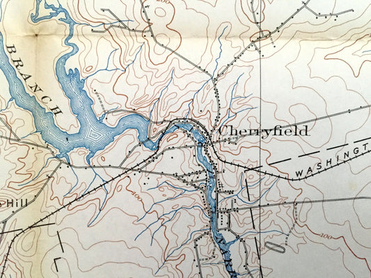
Antique Cherryfield, Maine 1902 US Geological Survey Topographic Map – Steuben, Millbridge, Harrington, Columbia, Addison, Pleasant Bay, ME
Regular price $45.00 USDRegular priceUnit price / per -
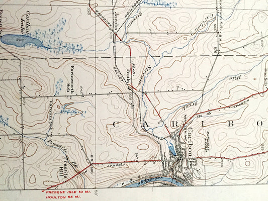
Antique Caribou, Maine 1932 US Geological Survey Topographic Map – New Sweden, Westmanland, Woodland, Perham, Washburn, Wade Connor Pauls ME
Regular price $55.00 USDRegular priceUnit price / per -
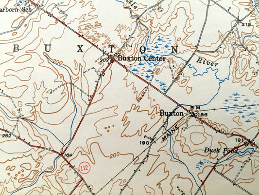
Antique Buxton, Maine 1944 US Geological Survey Topographic Map – Limington, Standish, Waterboro, Dayon, Lymon, Cumberland, York County, ME
Regular price $65.00 USDRegular priceUnit price / per -
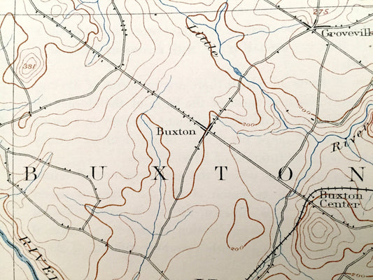
Antique Buxton, Maine 1892 US Geological Survey Topographic Map – Limington, Standish, Waterboro, Dayton, Lymon Bar Mills York Cumberland ME
Regular price $75.00 USDRegular priceUnit price / per -
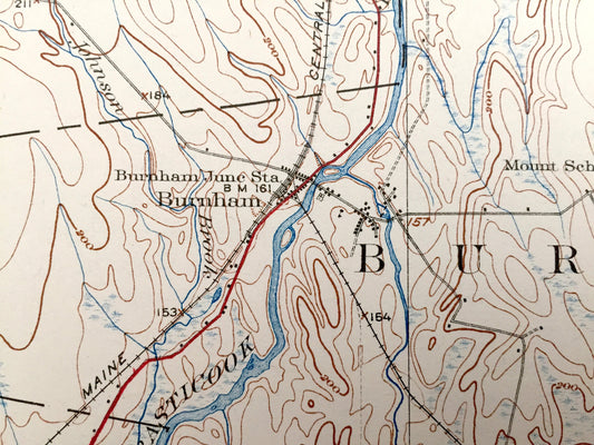
Antique Burnham, Maine 1926 US Geological Survey Topographic Map – Pittsfield, Detroit, Troy, Unity Pond, Freedom, Waldo, Kennebec County ME
Regular price $55.00 USDRegular priceUnit price / per -
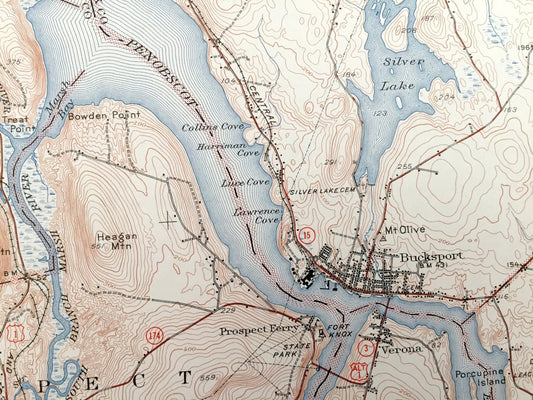
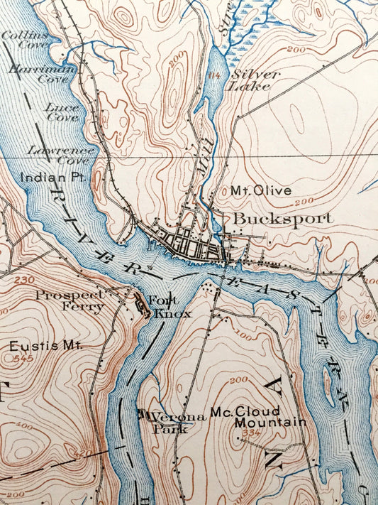
Antique Bucksport, Maine 1927 US Geological Survey Topographic Map – Penobscot River, Newburgh, Hampden, Orrington, Winterport, Waldo County
Regular price $50.00 USDRegular priceUnit price / per -
Antique Bucksport, Maine 1902 US Geological Survey Topographic Map – Penobscot River, Prospect, Orrington, Winterport, Frankfort, Swanville
Regular price $50.00 USDRegular priceUnit price / per -
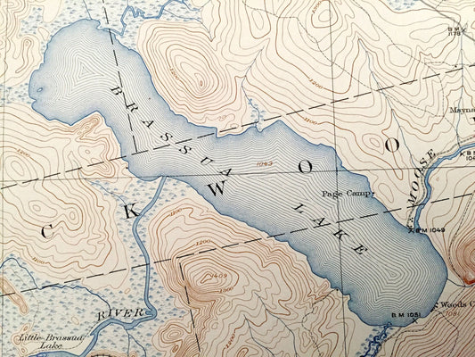
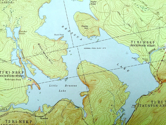
Antique Brassua Lake, Maine 1923 US Geological Survey Topographic Map – Moosehead Lake, Indian Pond, Tomhegan, Rockwood, Misery, Sapling, ME
Regular price $85.00 USDRegular priceUnit price / per -
Antique Brassua Lake, Maine 1957 US Geological Survey Topographic Map – Moosehead Lake, Indian Pond, Tomhegan, Rockwood, Misery, Sapling, ME
Regular price $75.00 USDRegular priceUnit price / per -
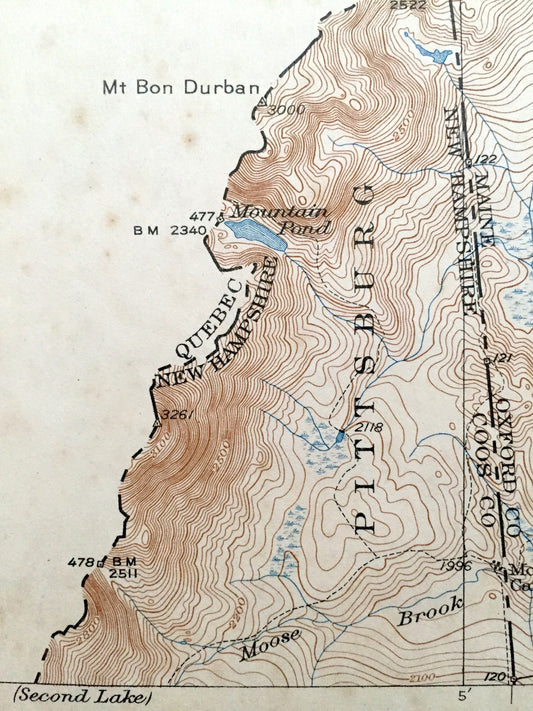
Antique Bowman, Maine & Pittsburg, New Hampshire 1931 US Geological Survey Topographic Map – Moose Bog, Coos, Oxford County, Parmachenee NH
Regular price $12.00 USDRegular priceUnit price / per -
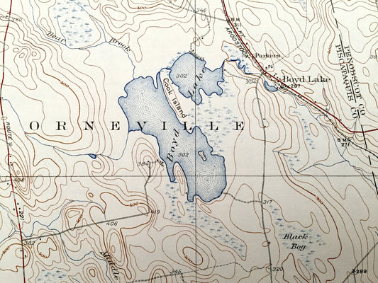
Antique Boyd Lake, Maine 1934 US Geological Survey Topographic Map – Penobscot, Piscataquis County, Orneville, LaGrange, Medford, Milo, ME
Regular price $65.00 USDRegular priceUnit price / per -
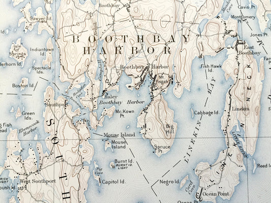
Antique Boothbay, Maine 1891 US Geological Survey Topographic Map – Georgetown, Westport, Southport, Bristol, Edgecomb Wiscasset Woolwich ME
Regular price $225.00 USDRegular priceUnit price / per -
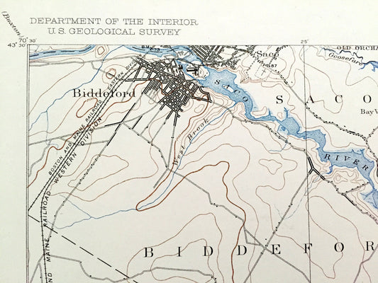
Antique Biddeford, Maine 1893 US Geological Survey Topographic Map – Old Orchard, Saco, Kennebunkport Fortune Rock Camp Ellis York County ME
Regular price $155.00 USDRegular priceUnit price / per -
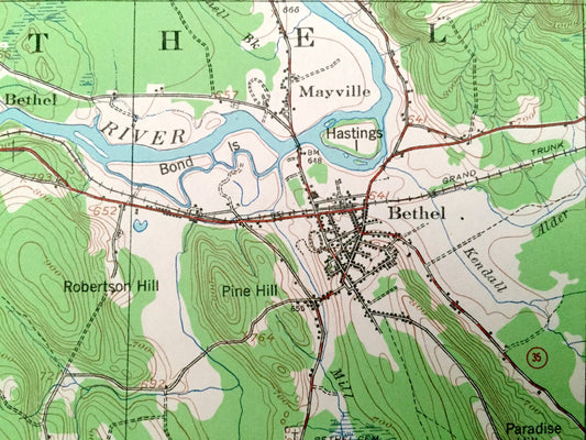
Antique Bethel, Maine 1940 US Geological Survey Topographic Map – Hanover, Newry, Gilead, Albany, Stoneham, Oxford, Cumberland County, ME
Regular price $75.00 USDRegular priceUnit price / per -
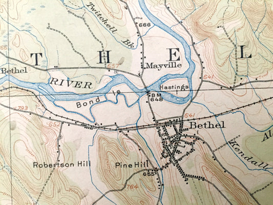
Antique Bethel, Maine 1914 US Geological Survey Topographic Map – Hanover, Newry, Gilead, Albany, Stoneham, Hastings, Mason, Riley
Regular price $35.00 USDRegular priceUnit price / per -
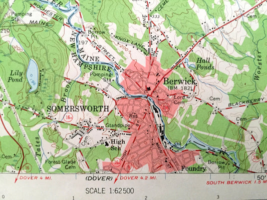
Antique Berwick, Maine 1958 US Geological Survey Topographic Map – Sanford, Lebanon, Acton, Milton Rochester Somersworth New Hampshire ME NH
Regular price $50.00 USDRegular priceUnit price / per -
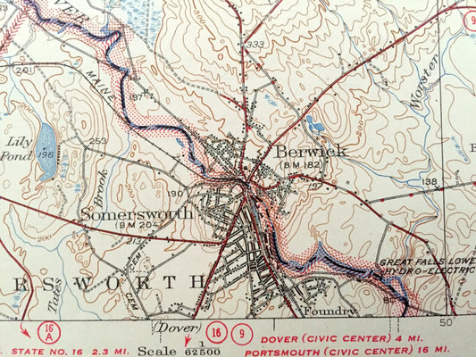
Antique Berwick, Maine 1944 US Geological Survey Topographic Map – Sanford, Lebanon, Acton, Milton, Rochester, Somersworth, New Hampshire
Regular price $55.00 USDRegular priceUnit price / per -
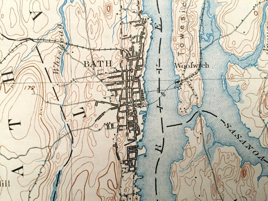
Antique Bath, Maine 1894 US Geological Survey Topographic Map – Brunswick, Topsham, Woolwich, Phippsburg, Harpswell, Georgetown Casco Bay ME
Regular price $155.00 USDRegular priceUnit price / per


